雨の海の夜明けSunrise over Imbrium
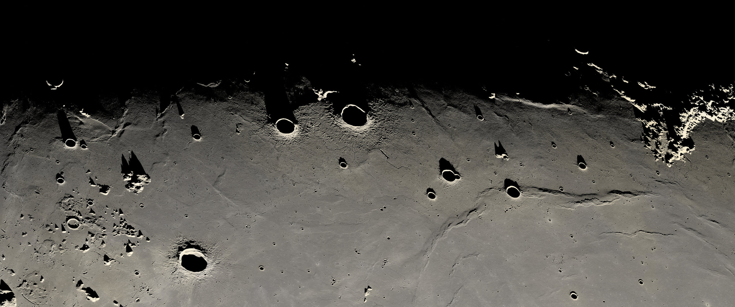
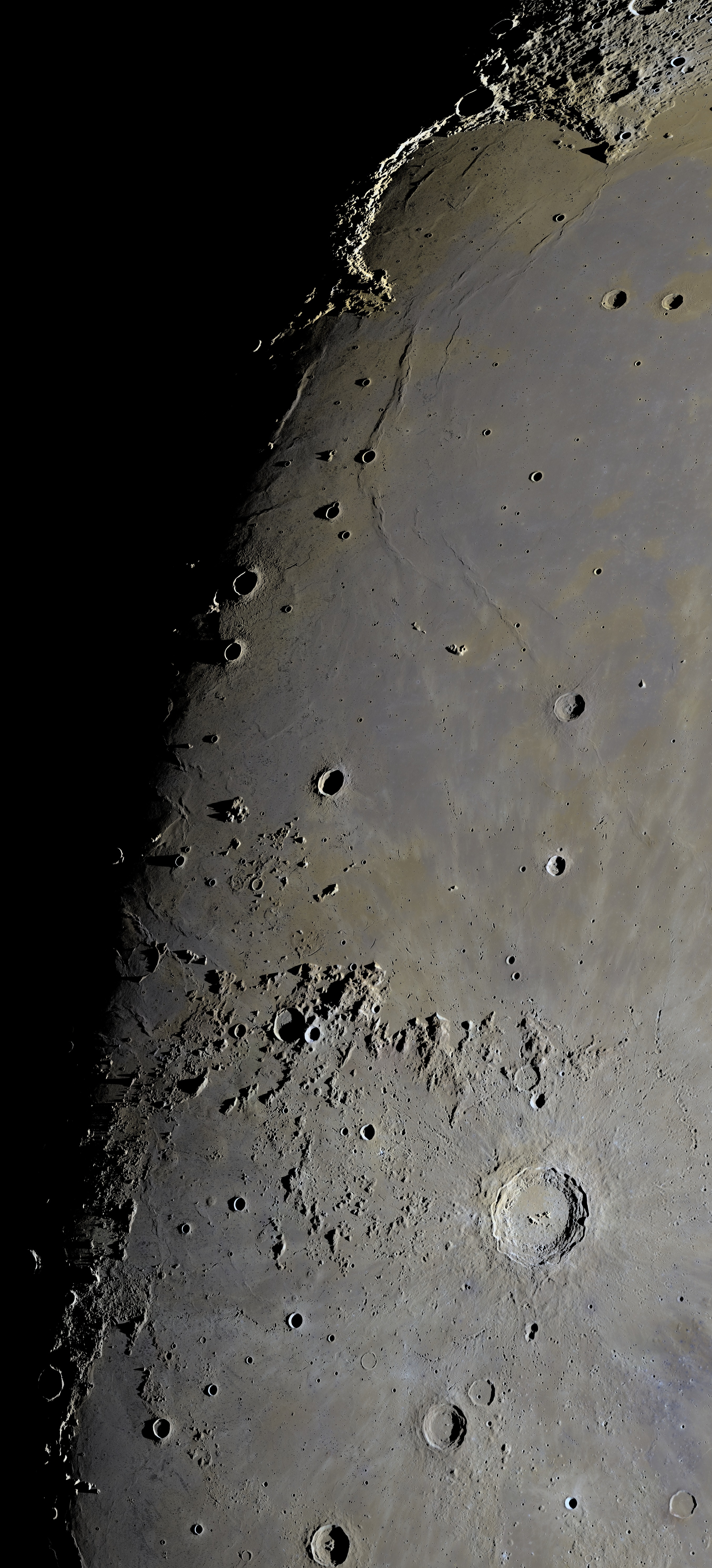
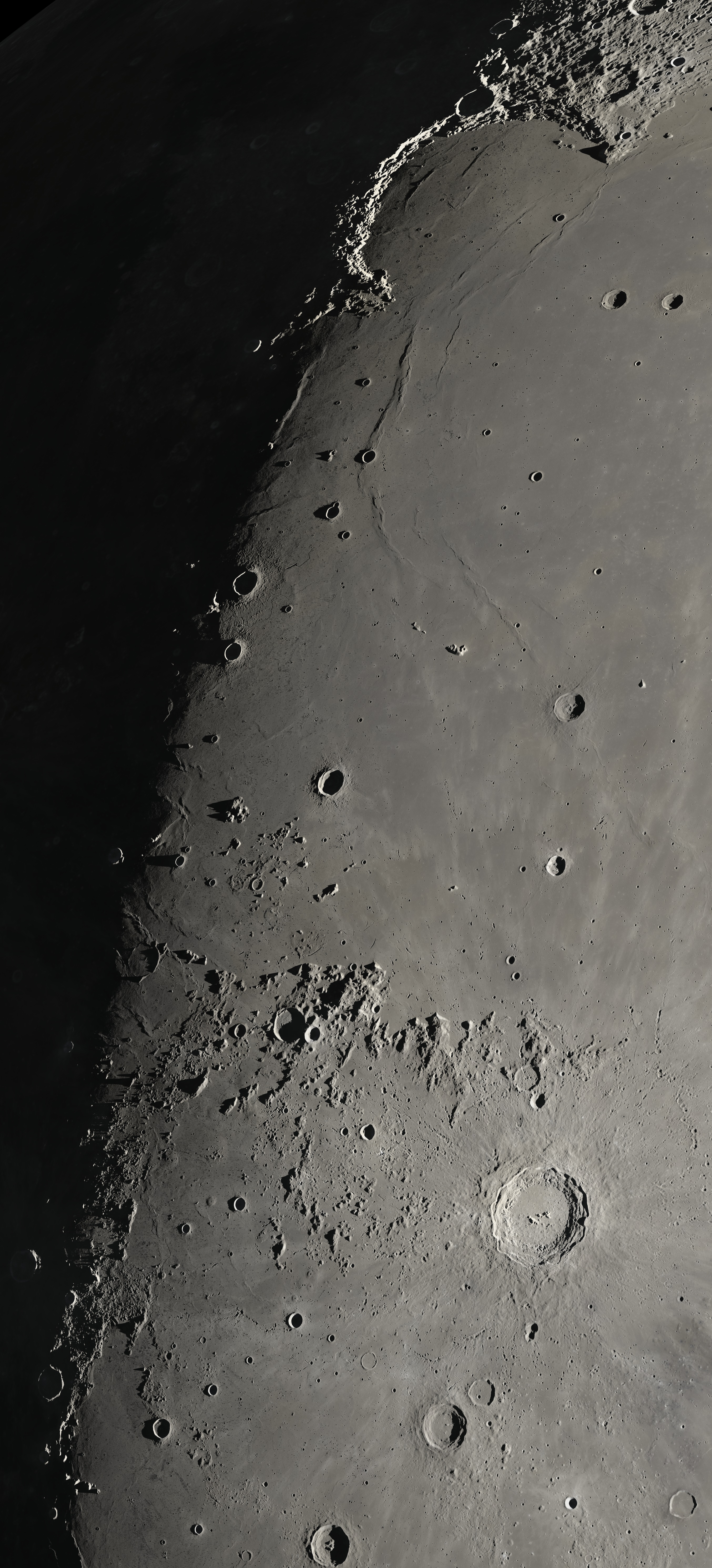
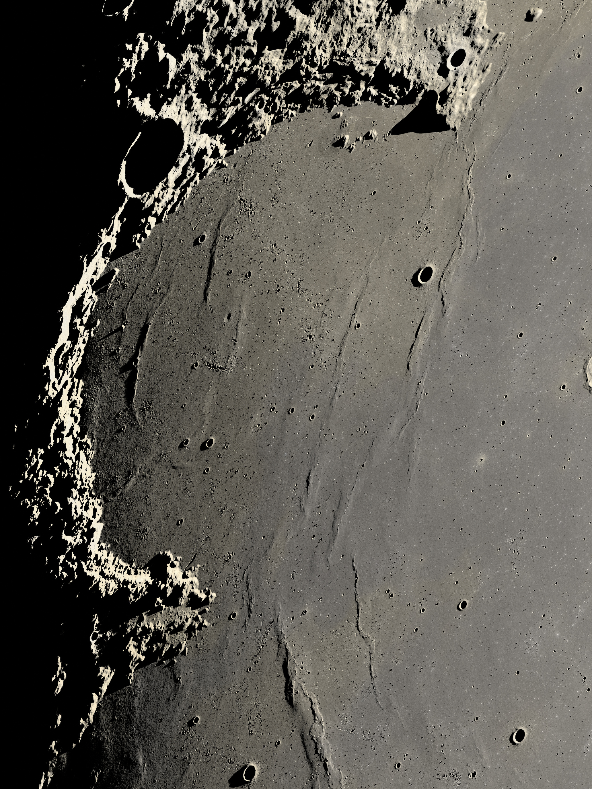
明暗境界が横に走るよう回転した切り抜き(上が西)。全体は南北に1,430 kmの縦長の画像です。A crop rotated so the sunrise line runs across (west is up). The whole picture is a tall strip, 1,430 km north to south.
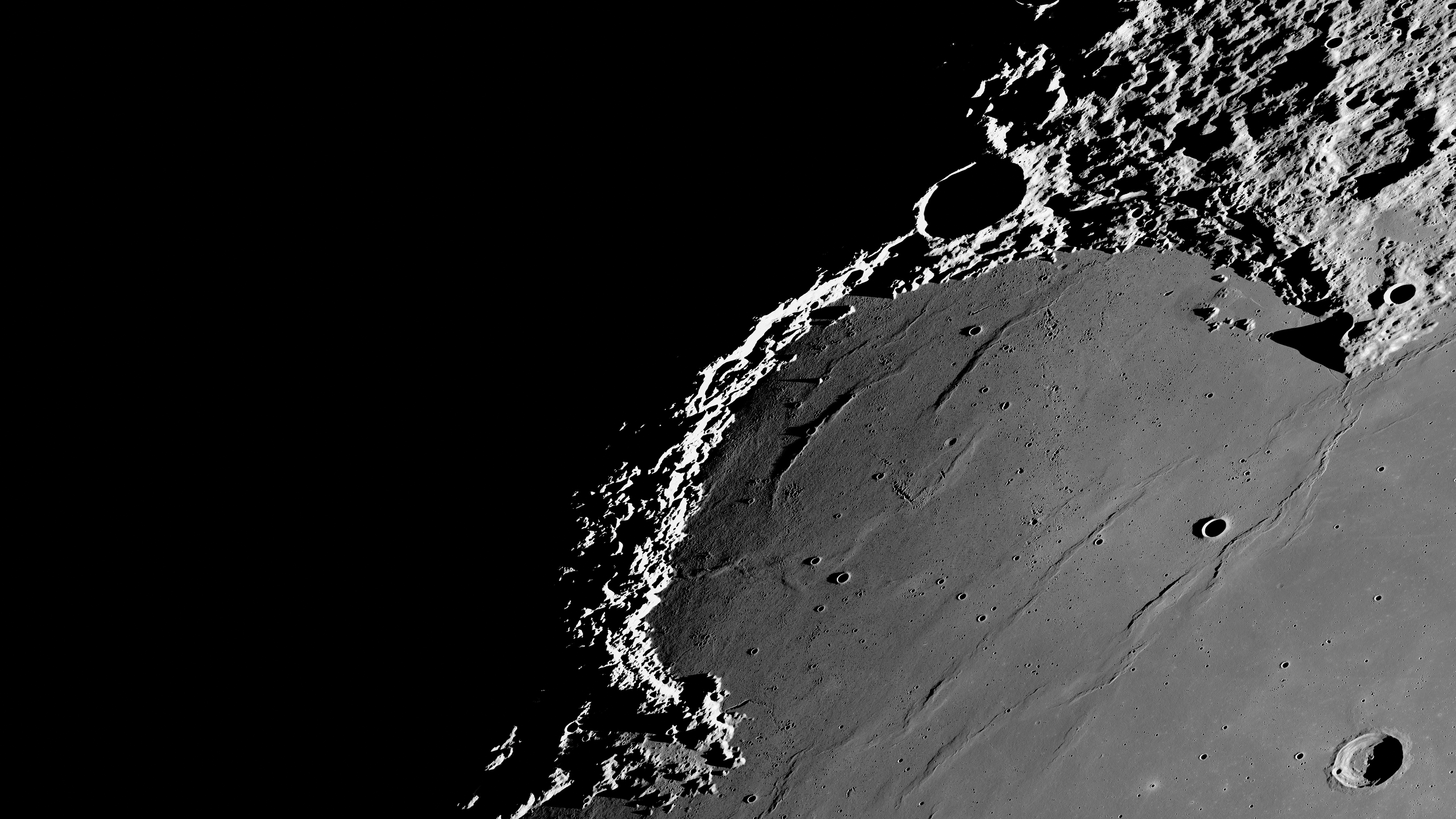
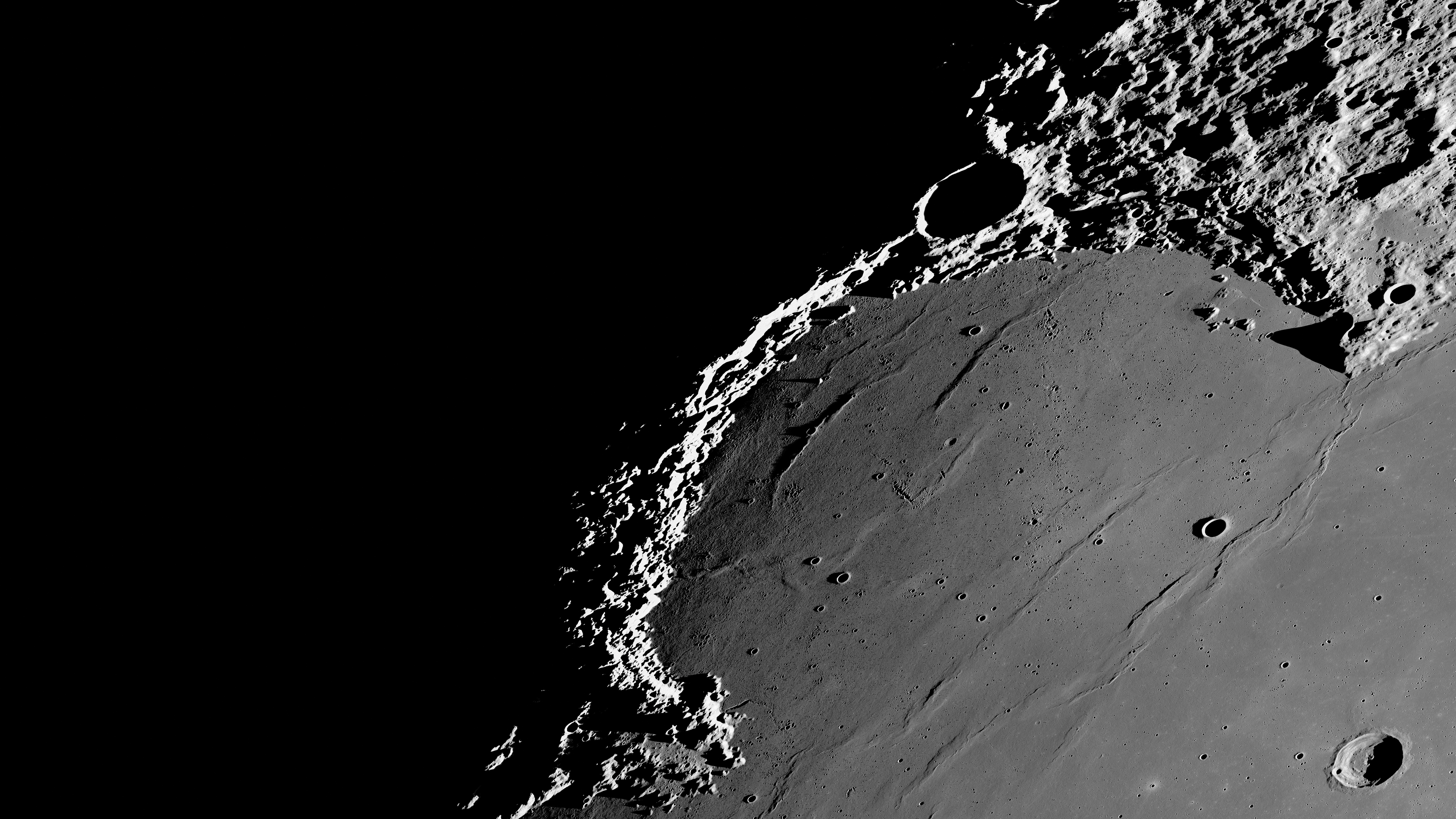
全解像度で見るExplore at full resolution約10億画素・好きな場所を拡大・自然な色、ミネラルムーン、地球照1 gigapixel · zoom in anywhere · natural, Mineral Moon and earthshine月齢約10日の月の明暗境界線を、コペルニクス・クレーターから虹の入江とジュラ山脈まで収めた画像です。ここでは太陽の高さが地平線から0〜22度しかなく、クレーターの縁や尾根がどれも長い影を落としています。大きさは21,664×47,664画素(約10億画素)、1画素30 m、範囲は約650×1,430 km。日本の月周回衛星「かぐや」(SELENE)の地図データを、低い太陽で照らし直して作りました。The sunrise line of a Moon about ten days old, from the crater Copernicus up to Sinus Iridum and the Jura mountains. Here the Sun is between 0° and 22° above the horizon, so every crater rim and ridge casts a long shadow. The picture is 21,664 × 47,664 pixels (1 gigapixel) at 30 m per pixel, covering about 650 × 1,430 km. It was made from the map of Japan's lunar orbiter Kaguya (SELENE), relit for a low Sun.
データ:宇宙航空研究開発機構・宇宙科学研究所(かぐや〔SELENE〕地形カメラ、SLDEM2013)/色:NASA/GSFC/アリゾナ州立大学(LRO LROC WAC)/画像処理:Stefano Ivan StingaData: ISAS/JAXA SELENE (Kaguya) Terrain Camera and SLDEM2013; color: NASA/GSFC/Arizona State University (LRO LROC WAC) · Processing: Stefano Ivan Stinga
見どころHighlights

直径93 kmのコペルニクス・クレーターの中央丘The central peaks of Copernicus, a 93 km crater

虹の入江を囲むジュラ山脈に差す朝日First light on Montes Jura above Sinus Iridum

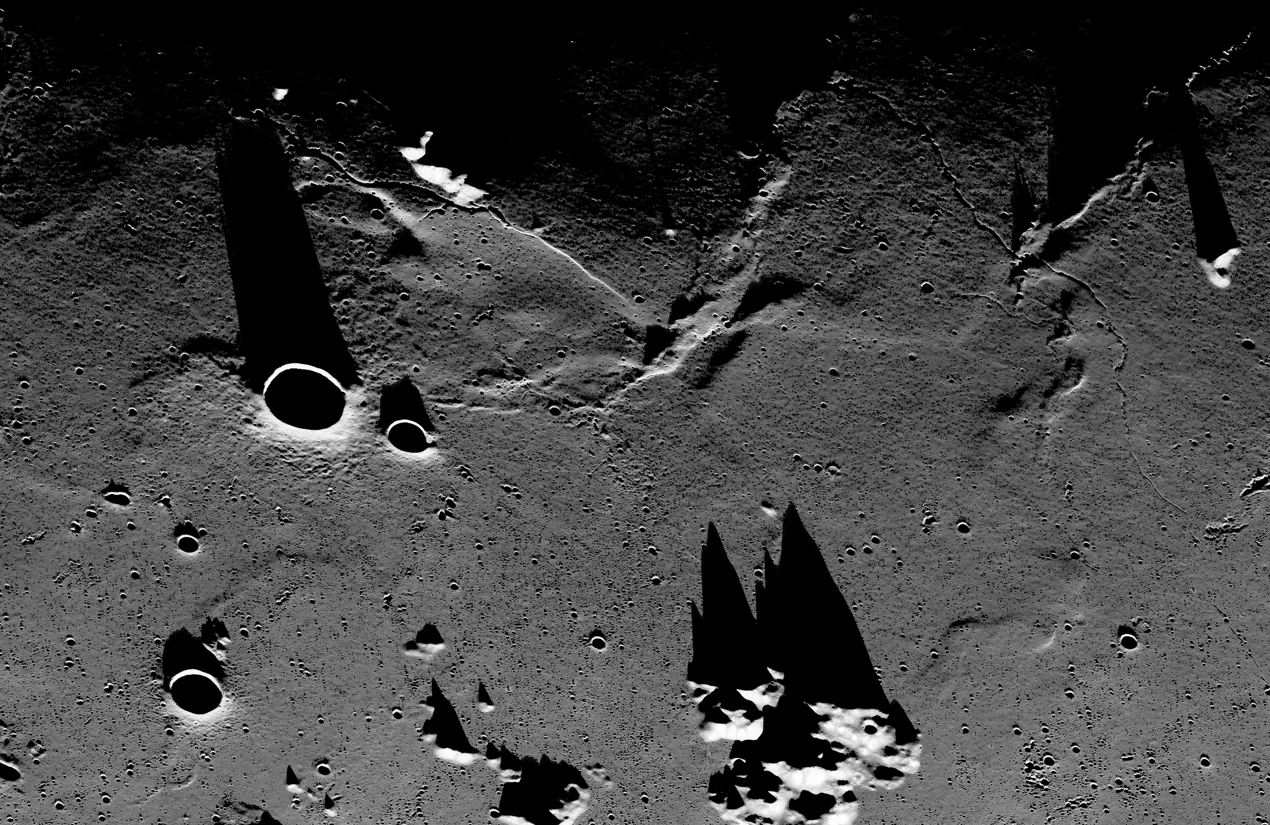
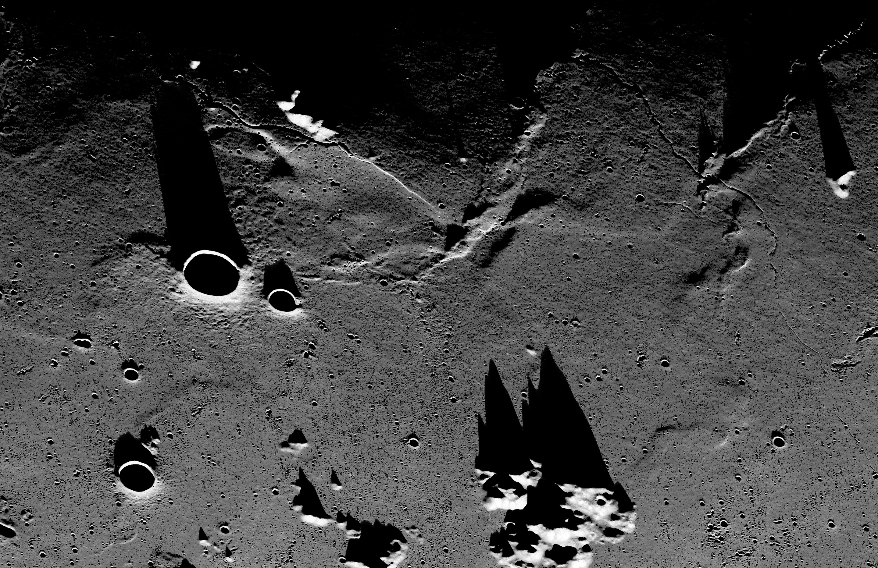
太陽高度4度、三つの峰とその影(モノクロ)Three peaks and their shadows, Sun 4° up (black and white)

オイラー・クレーターと雨の海のしわ尾根Euler crater and the wrinkle ridges of Mare Imbrium

影を落とすラプラス岬Promontorium Laplace casting its shadow

カルパチア山脈Montes Carpatus
クリックすると、その場所をビューアで開きます。切り抜きは全解像度(1画素30 m)の等倍で、北が上です。Each opens the viewer at that spot. The crops are 1:1 from the full resolution (30 m per pixel), north up.
三つの見え方Three looks
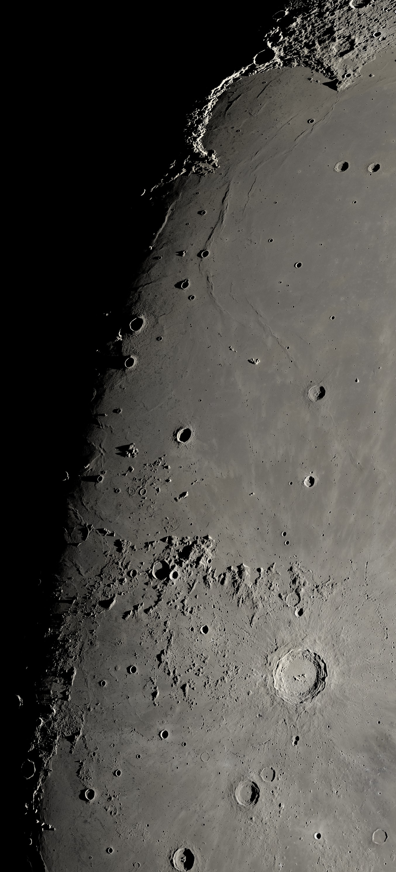
自然な色LRO広角カメラの色NaturalColor from LRO's wide-angle camera
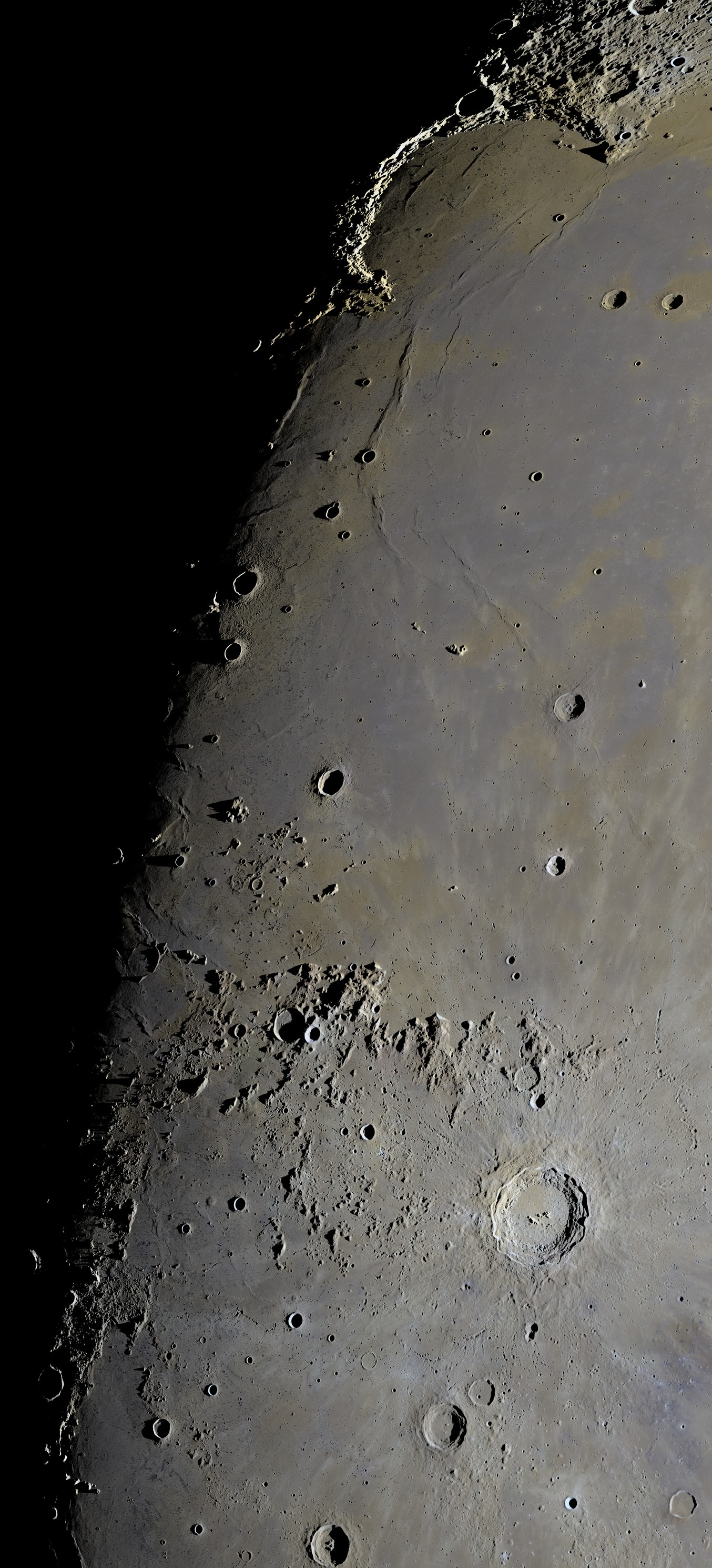
ミネラルムーン実際の色の違いを5倍に強調Mineral MoonThe real color differences ×5
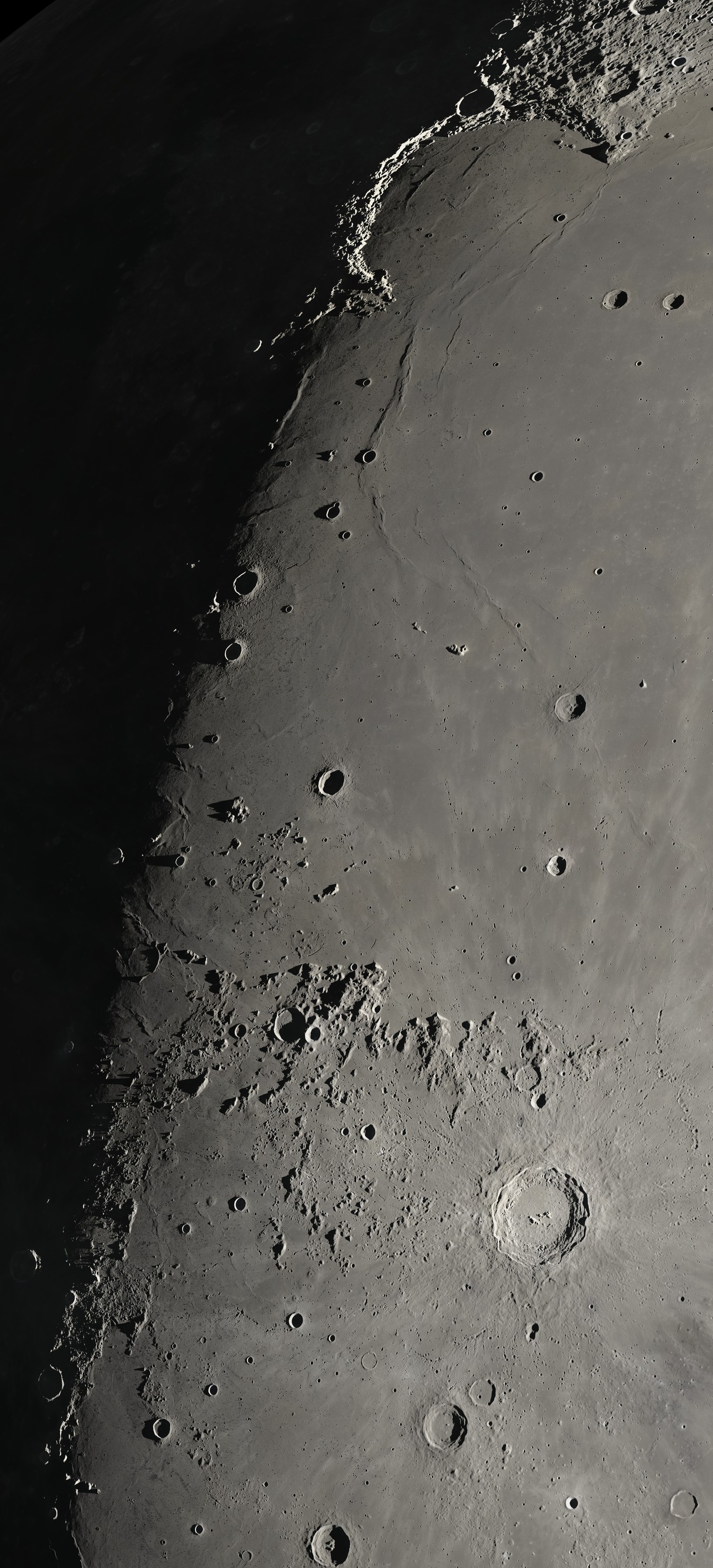
地球照夜側を照らす地球の光を、実際の約1,700倍の明るさでEarthshineThe night side lit by Earth, shown about 1,700× brighter than it is
クリックすると、その見え方でビューアを開きます。地球照版の夜側の細かさは約400 mです。Each opens the viewer in that look. In the earthshine version the night side has only about 400 m detail.
ダウンロードDownloads
全解像度(21,664×47,664)は大きすぎて配布できないため、ビューアでご覧ください。必要な場合は [email protected] までご連絡ください。The full resolution (21,664 × 47,664) is too large to download here: explore it in the viewer, or write to [email protected].
壁紙Wallpapers
MacMac
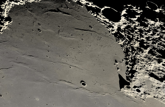
ジュラ山脈の朝日First light on the Jura arc
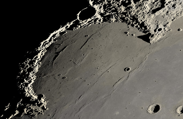
虹の入江Sinus Iridum
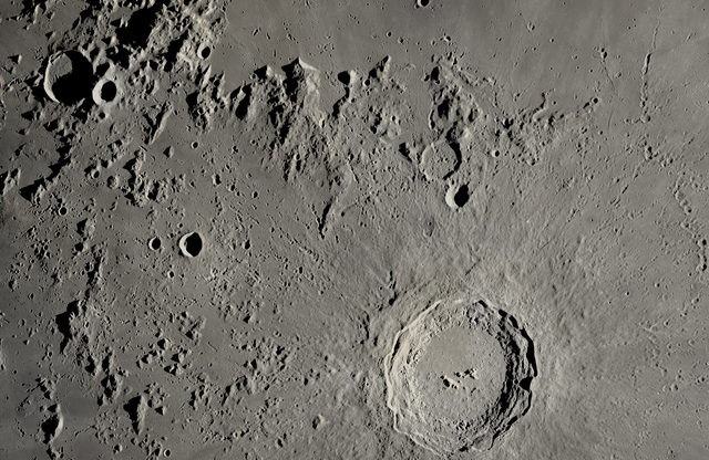
コペルニクスとカルパチア山脈Copernicus below the Carpathians
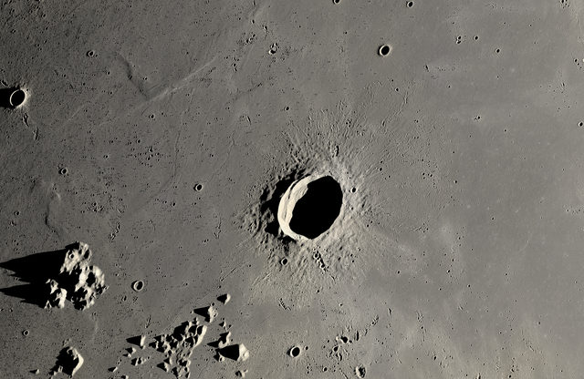
オイラーと雨の海のしわ尾根Euler and the wrinkle ridges
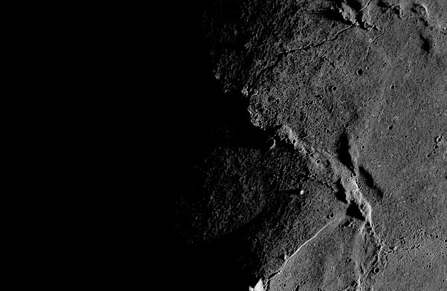
夜が始まる線(モノクロ)Where the night begins (b&w)
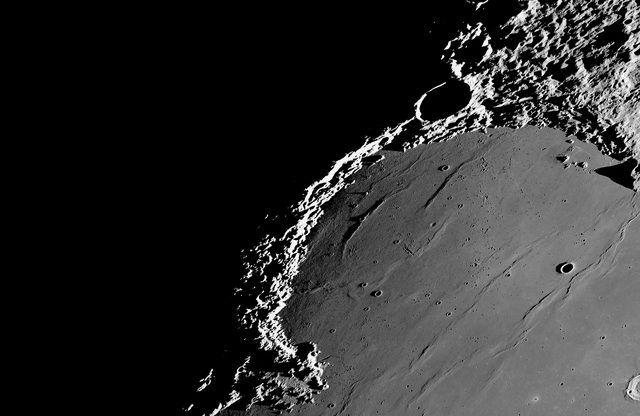
夜の縁のジュラ山脈(モノクロ)The Jura arc at the edge of night (b&w)
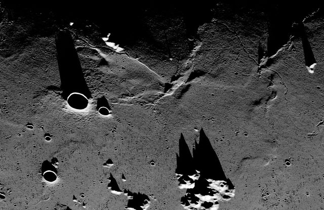
朝日に伸びる峰の影(モノクロ)Spiky shadows at sunrise (b&w)
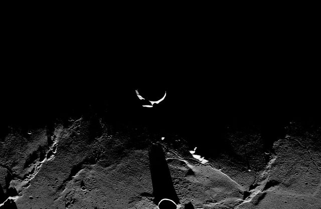
夜に浮かぶクレーターの縁(モノクロ)A crater rim lit in the night (b&w)
ウルトラワイドUltrawide
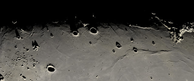
明暗境界のパノラマThe terminator, Sinus Iridum to the Carpathians
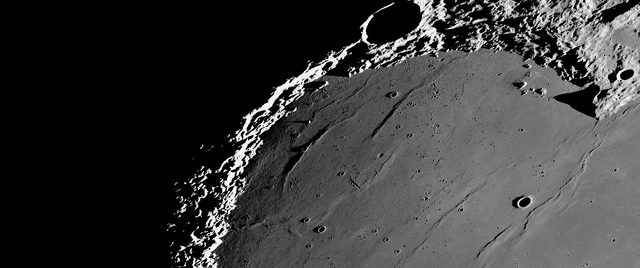
夜の縁のパノラマ(モノクロ)The Jura arc alone in the dark (b&w)
iPhoneiPhone
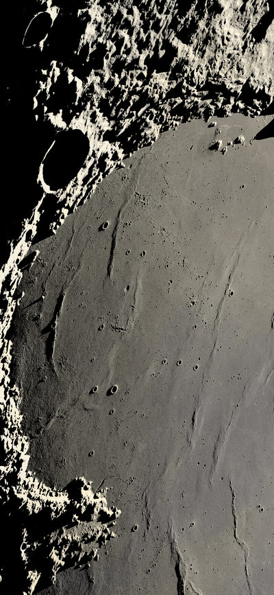
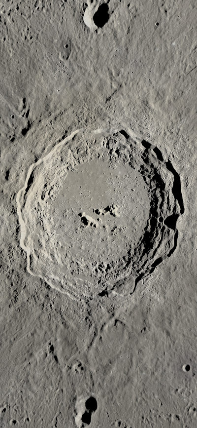
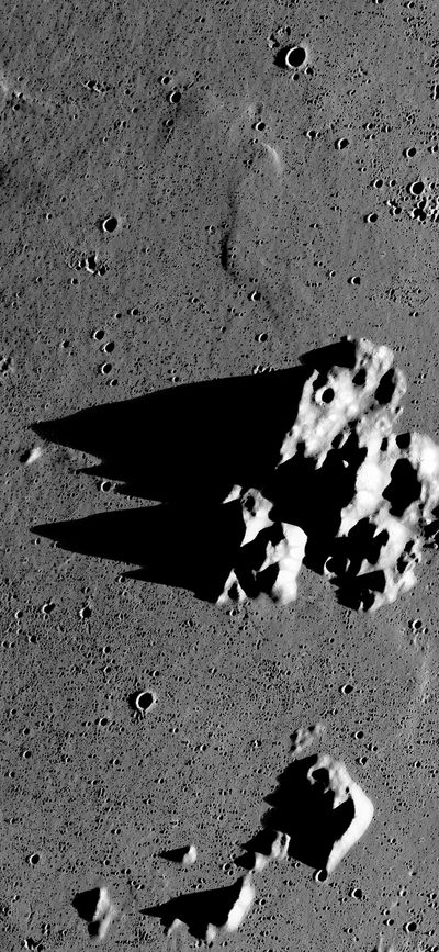
三つの峰の影(モノクロ)Three peaks and their shadows (b&w)
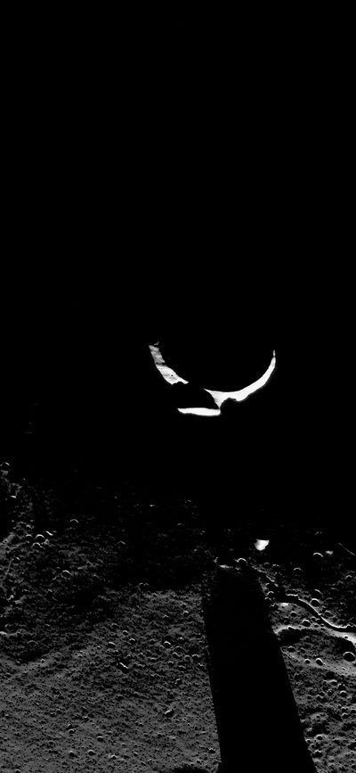
夜に浮かぶ三日月形の縁(モノクロ)A crescent rim in the night (b&w)
iPadiPad
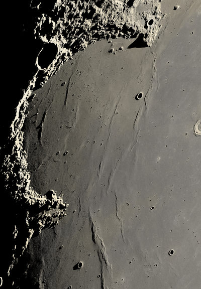
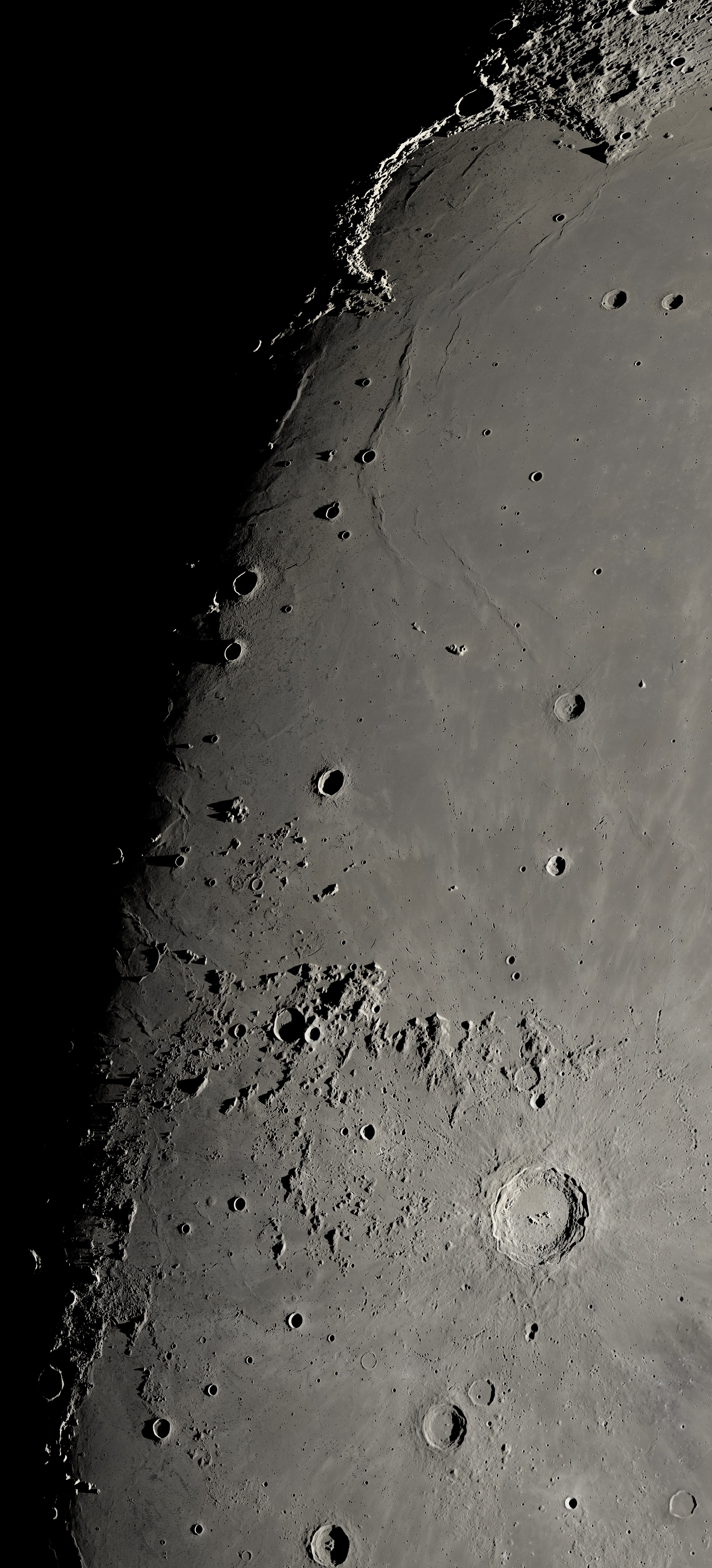
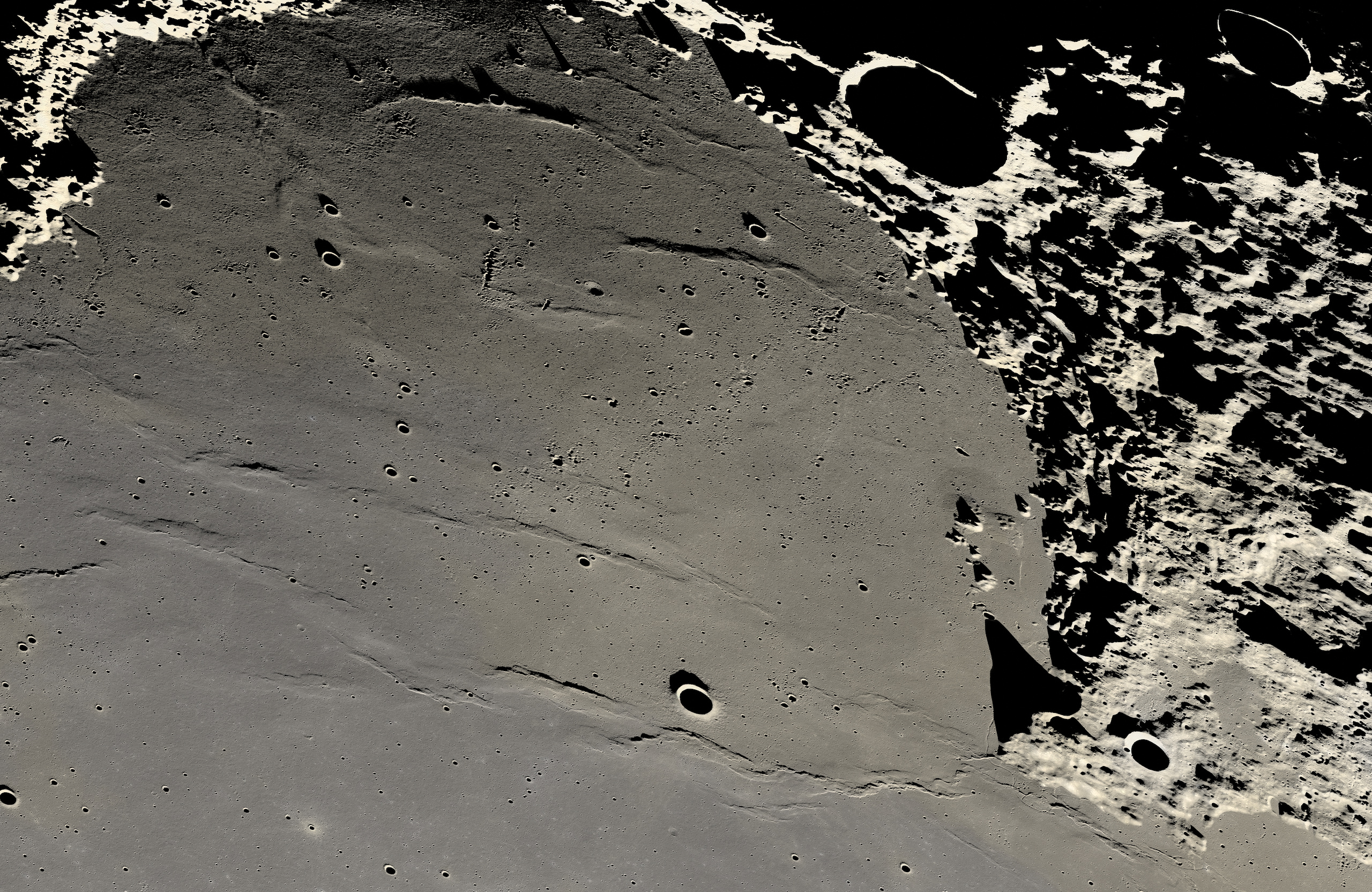
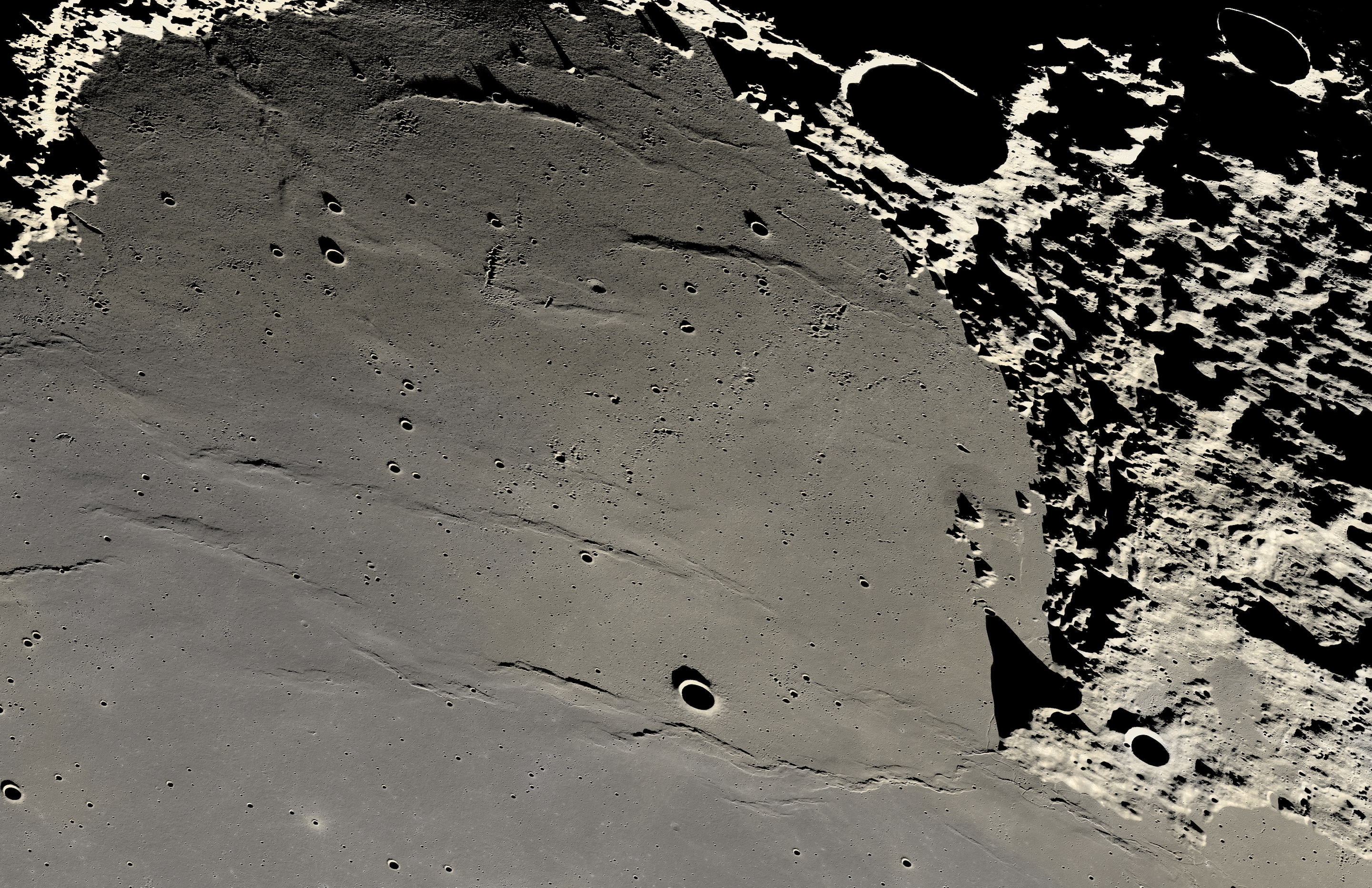
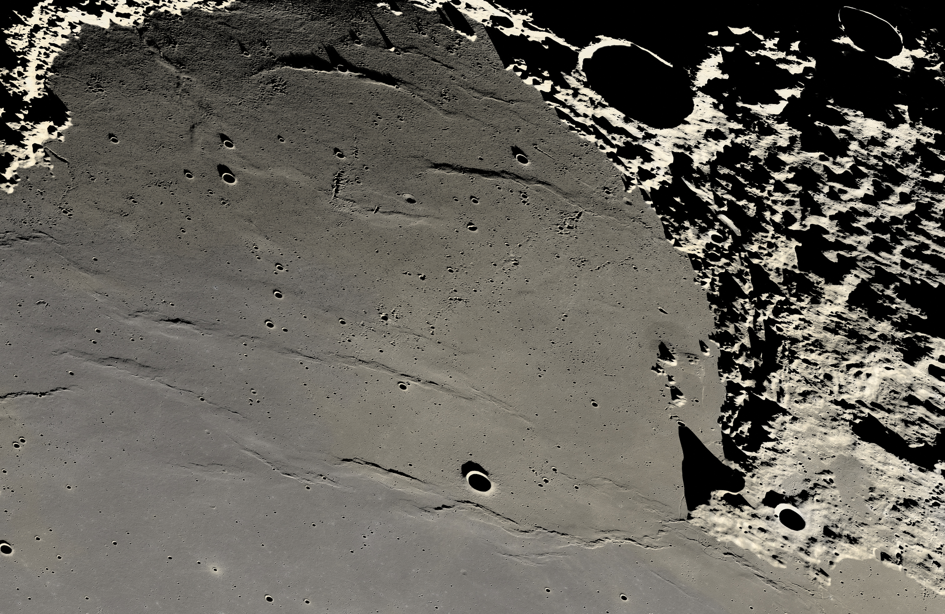
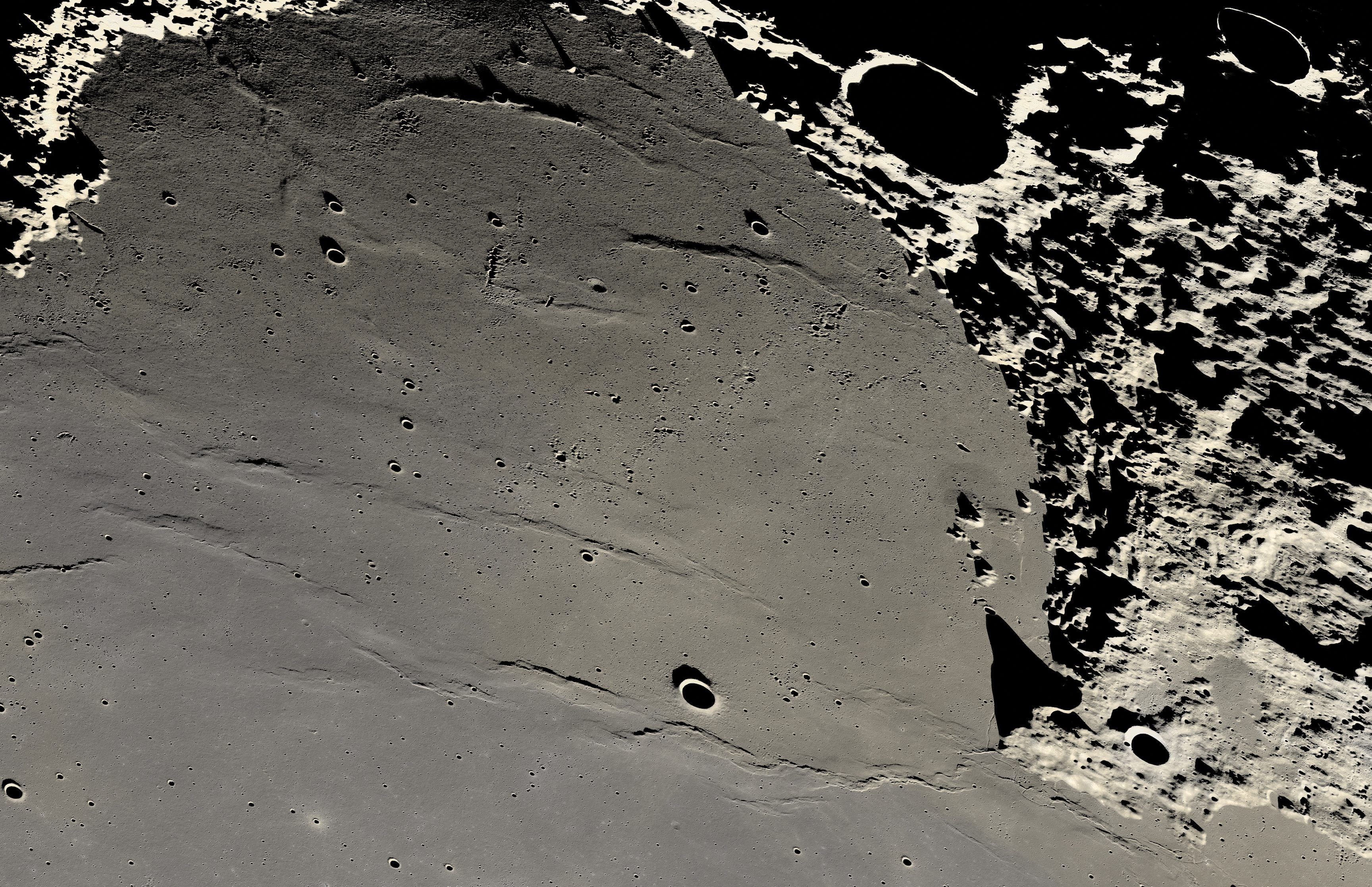
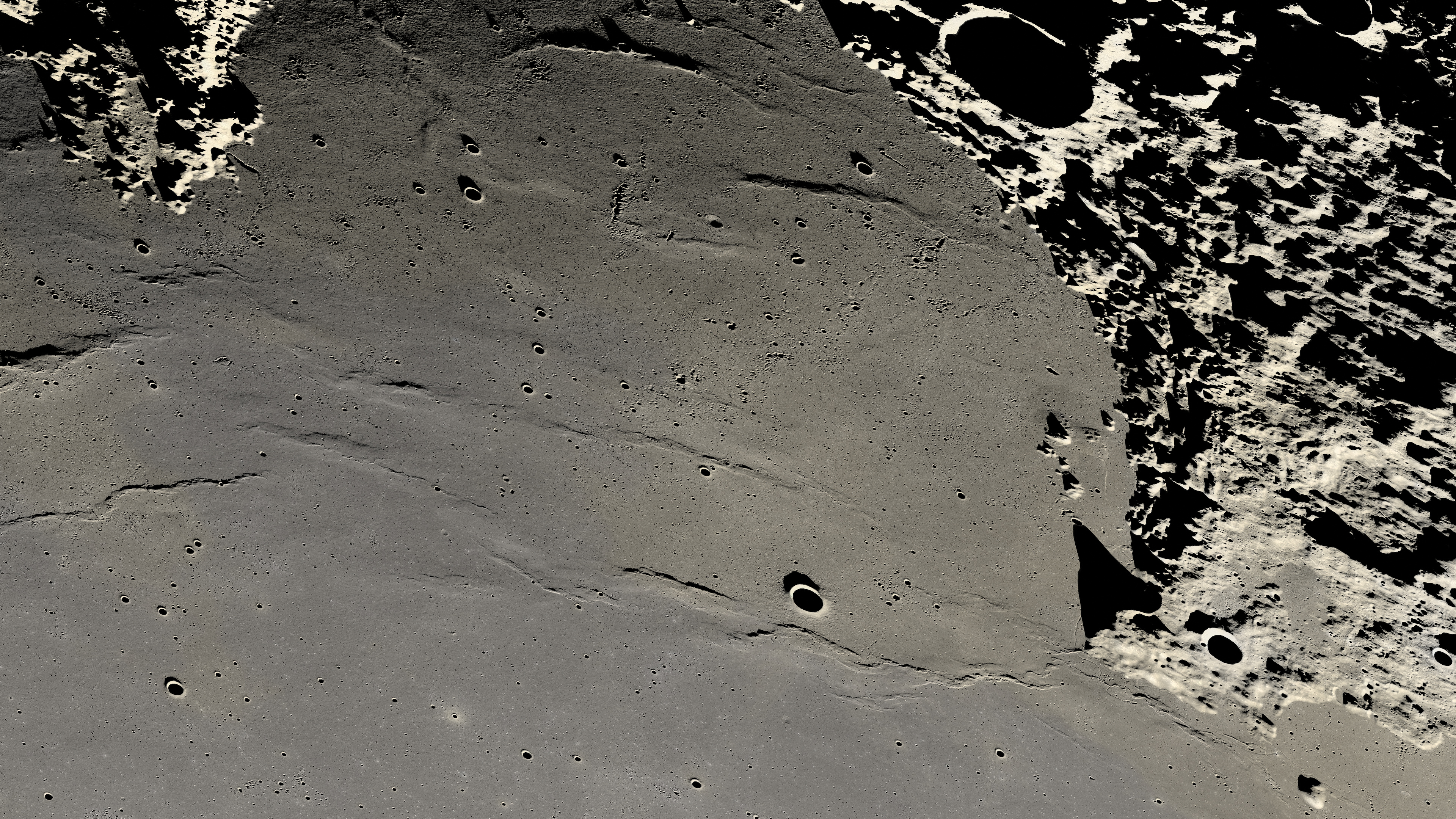
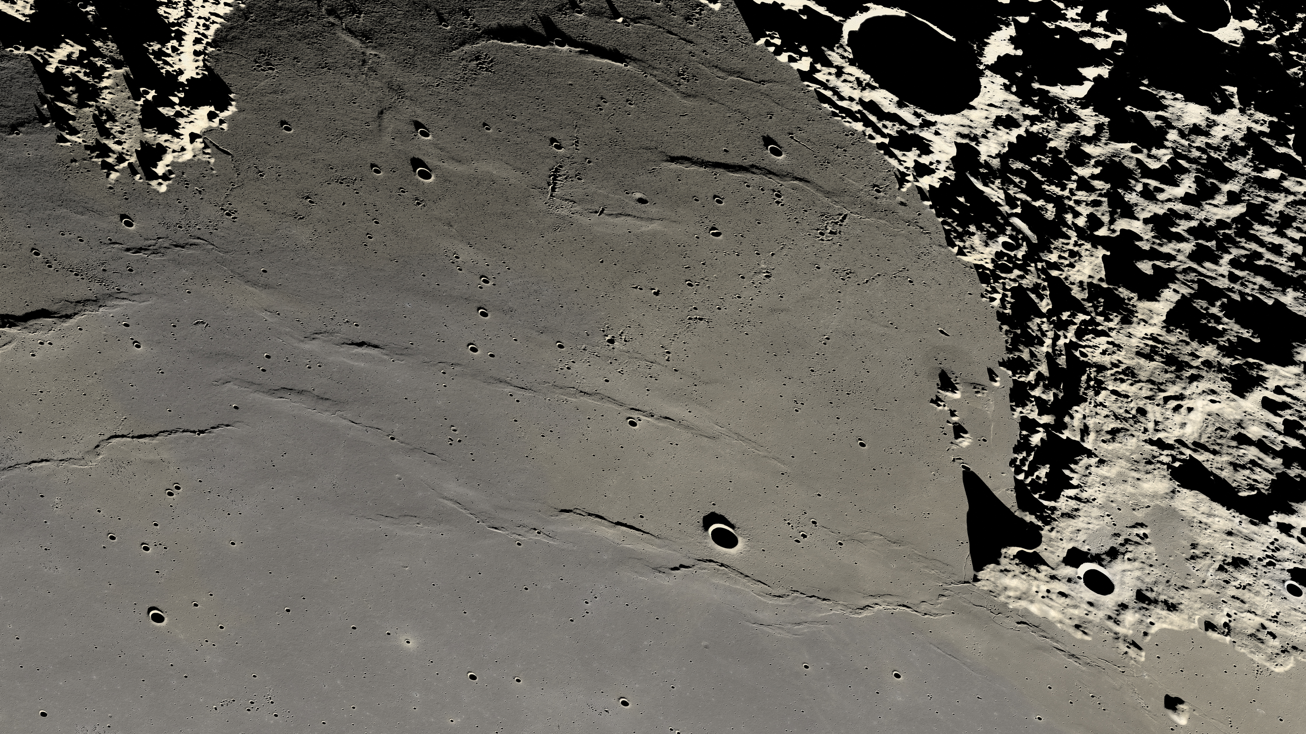
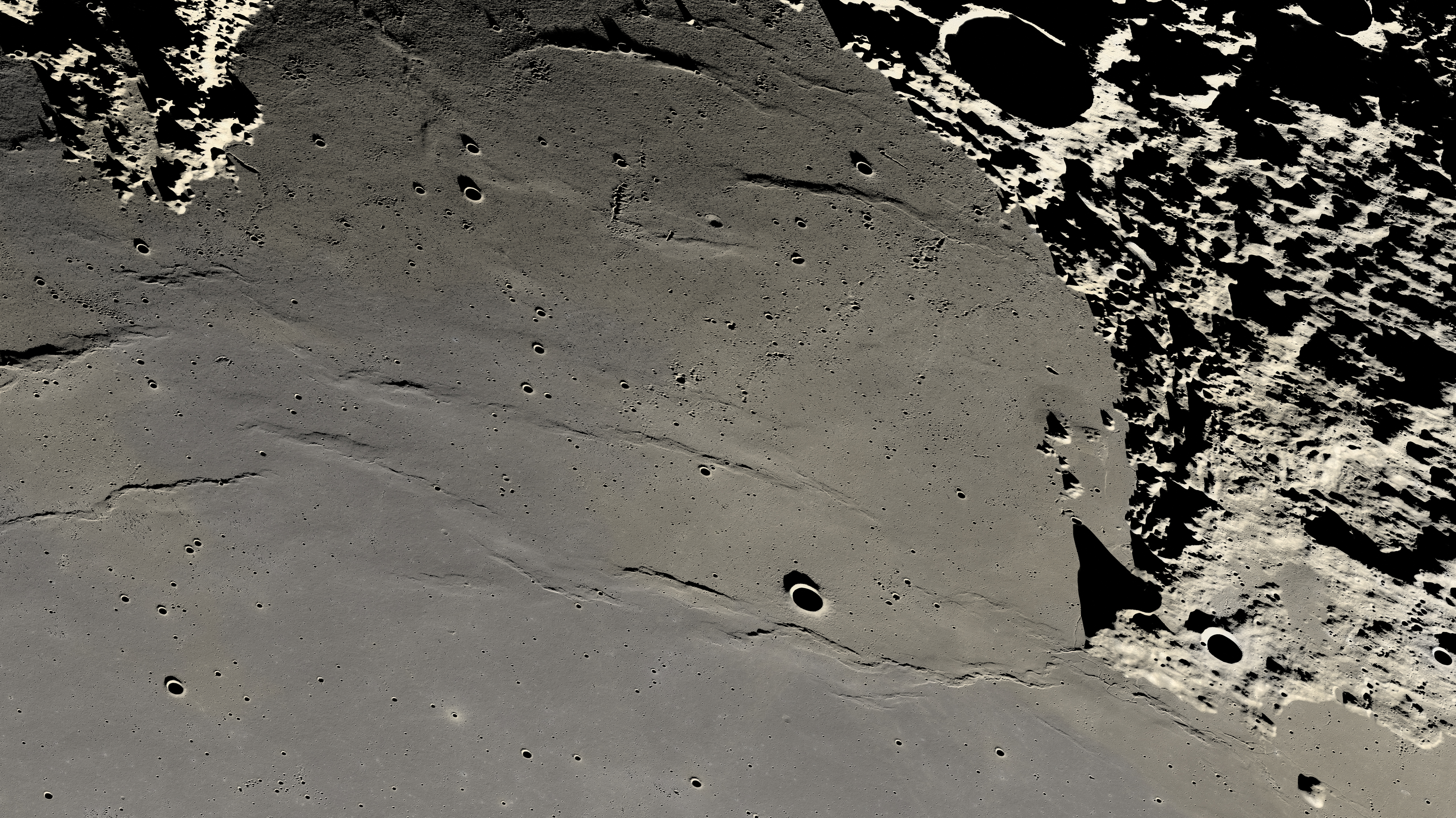
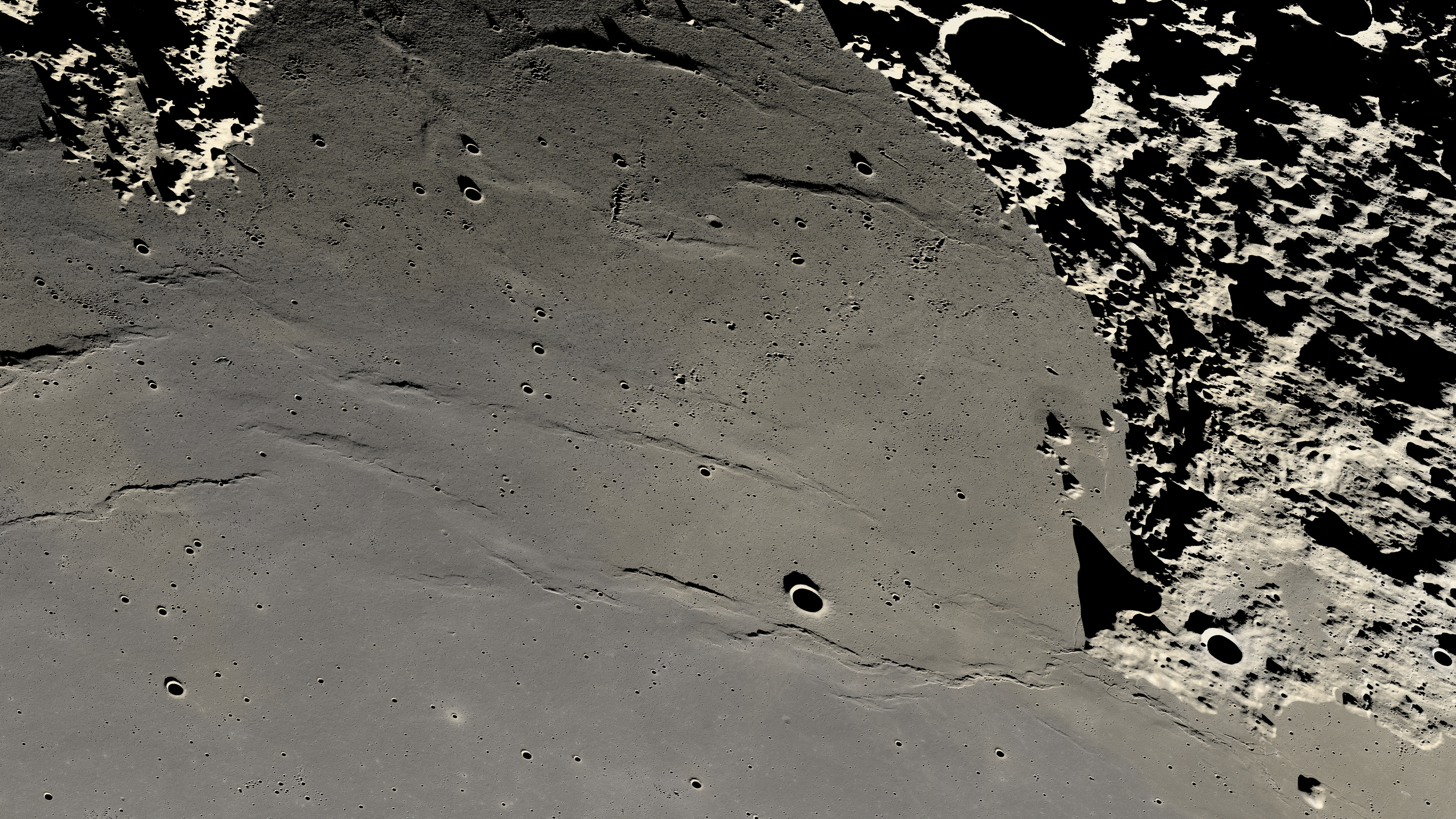
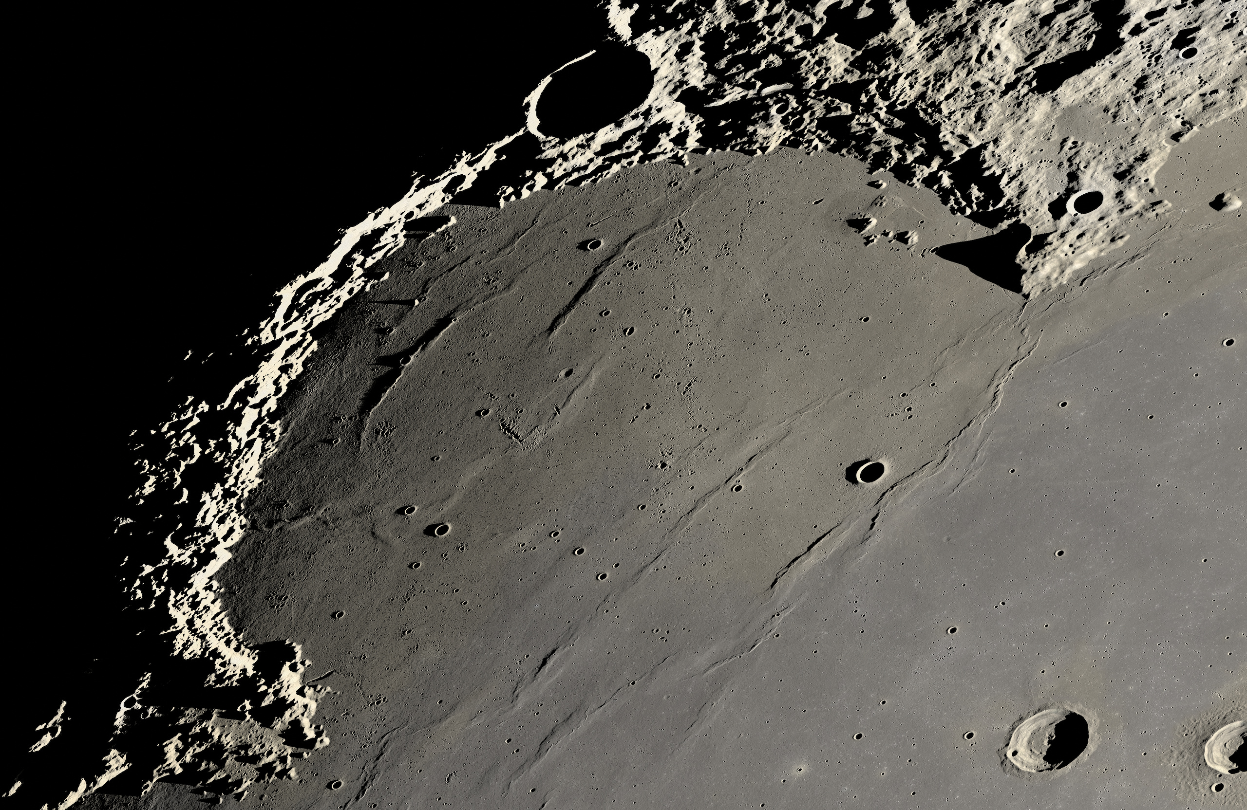
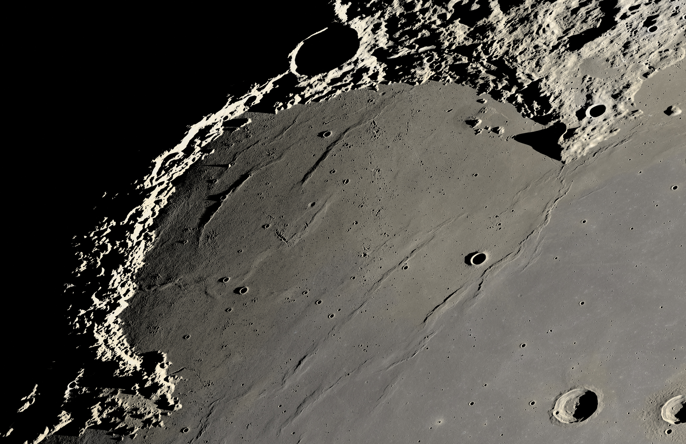
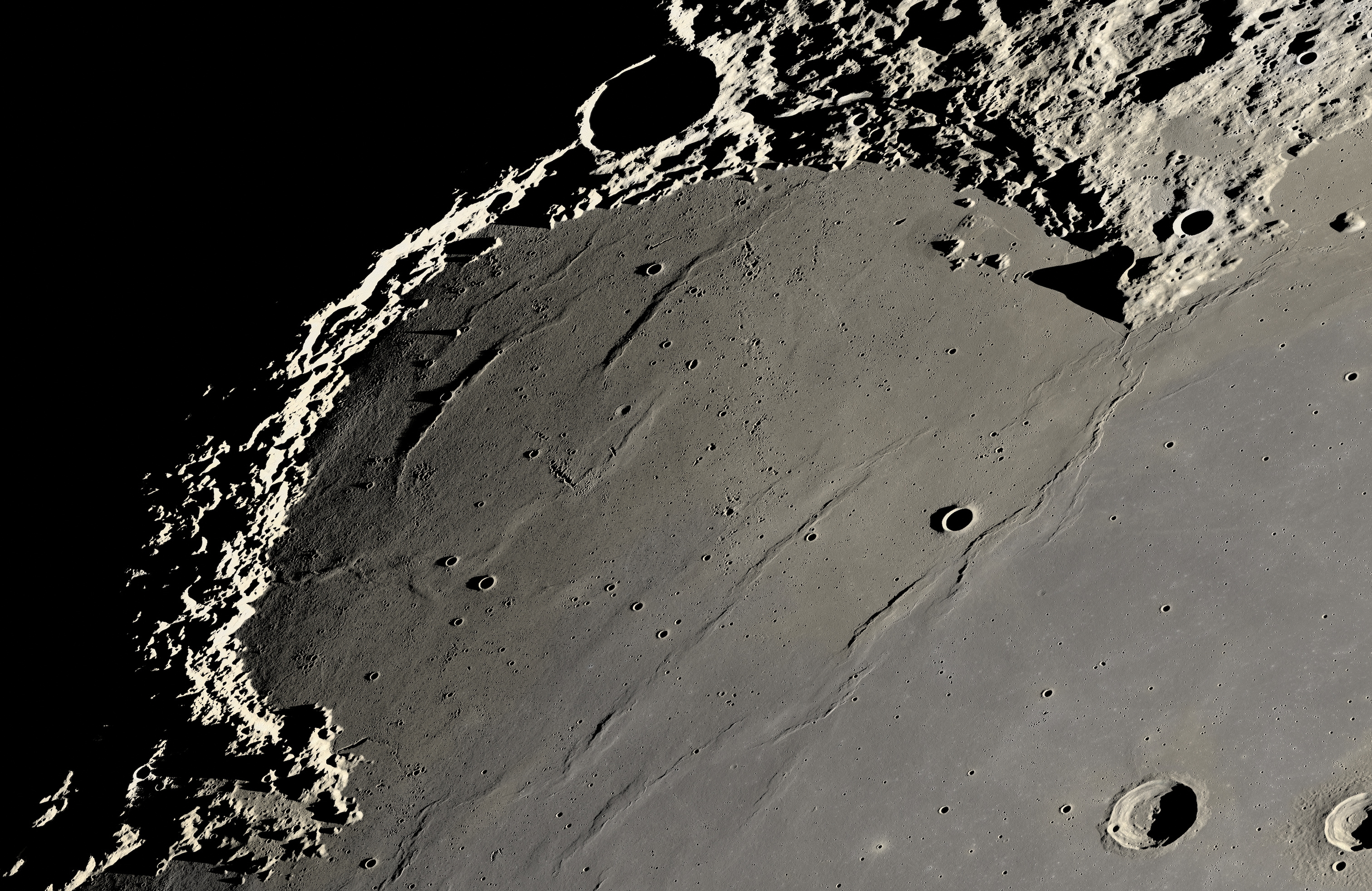
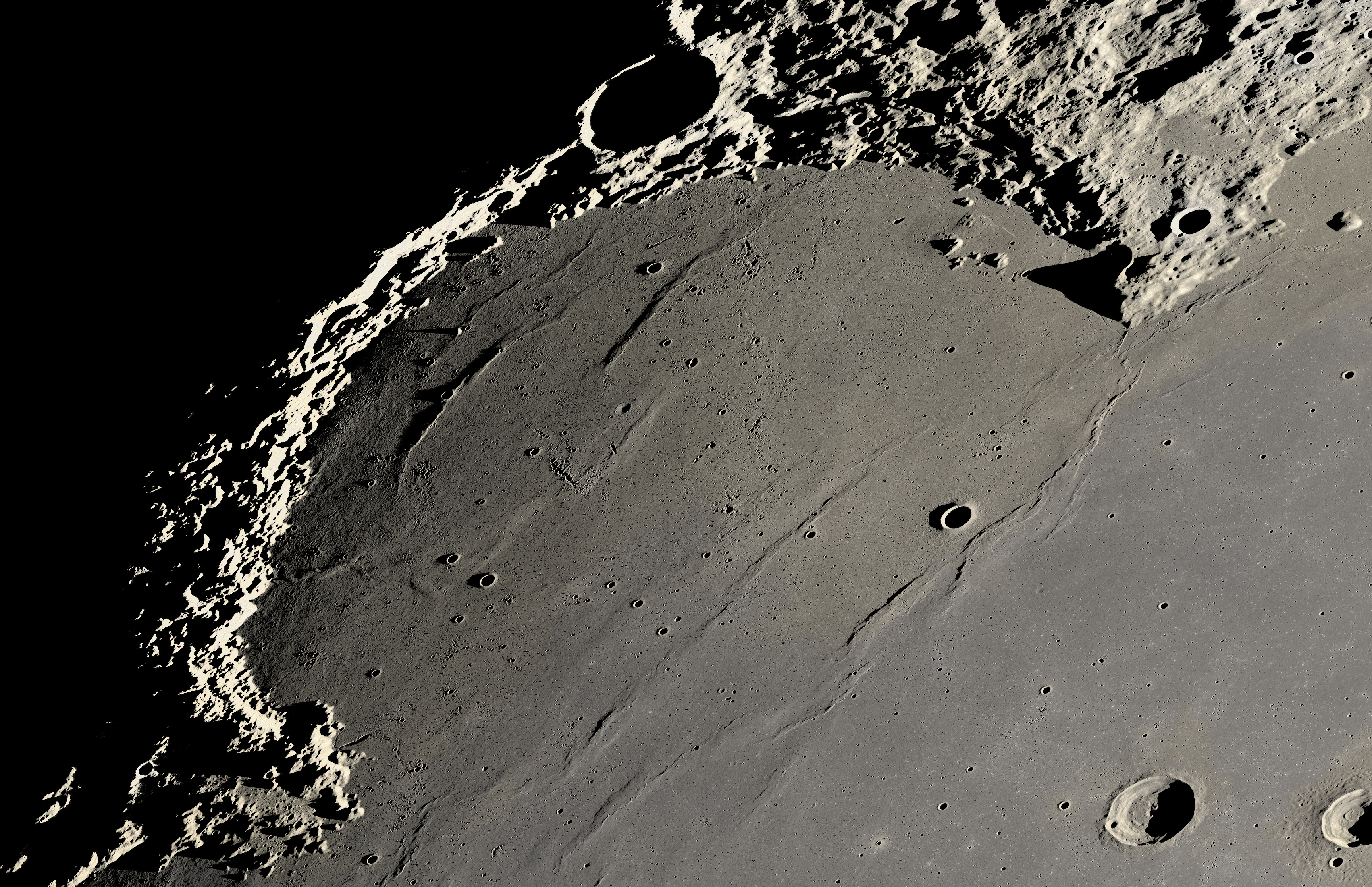
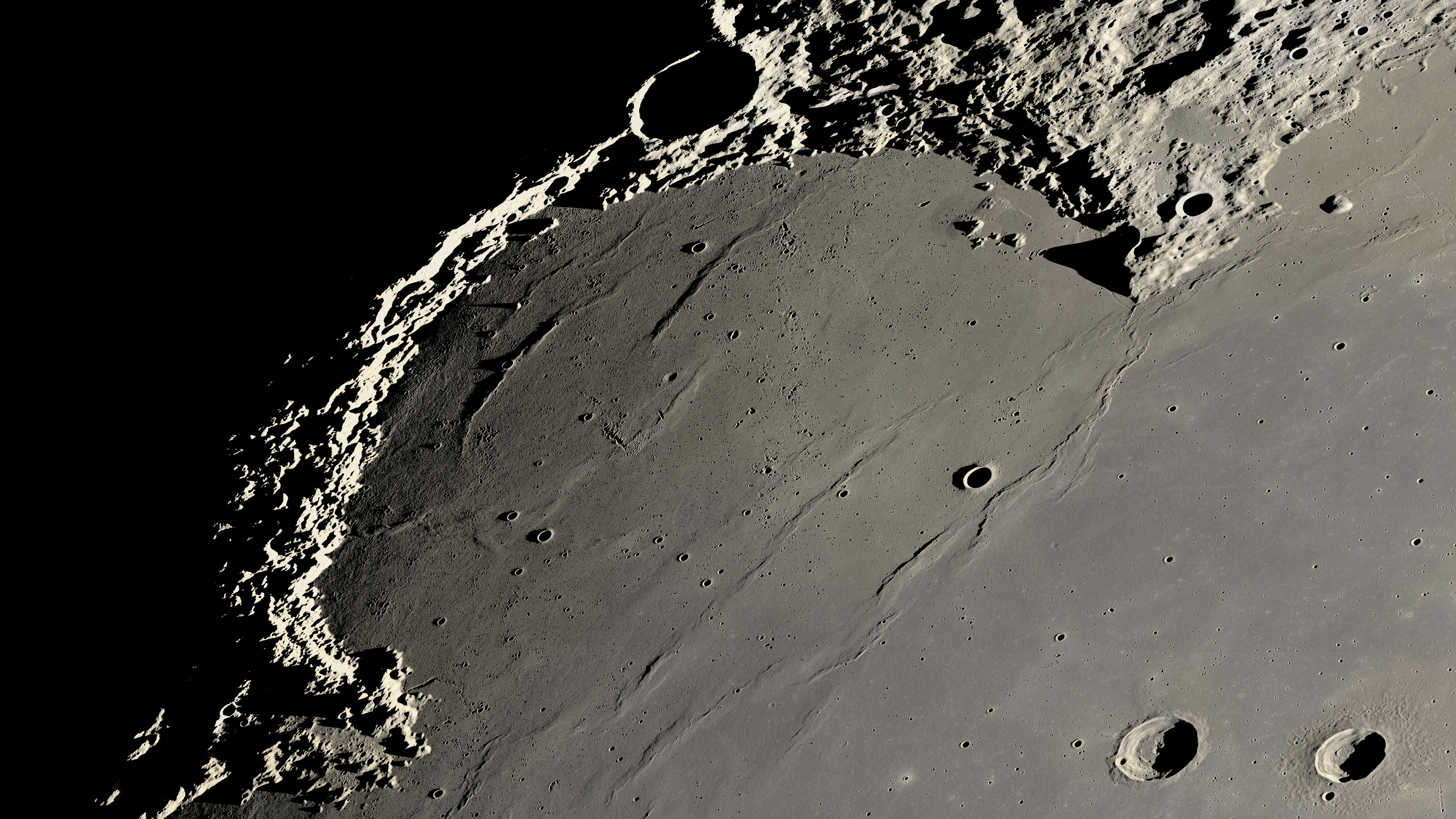
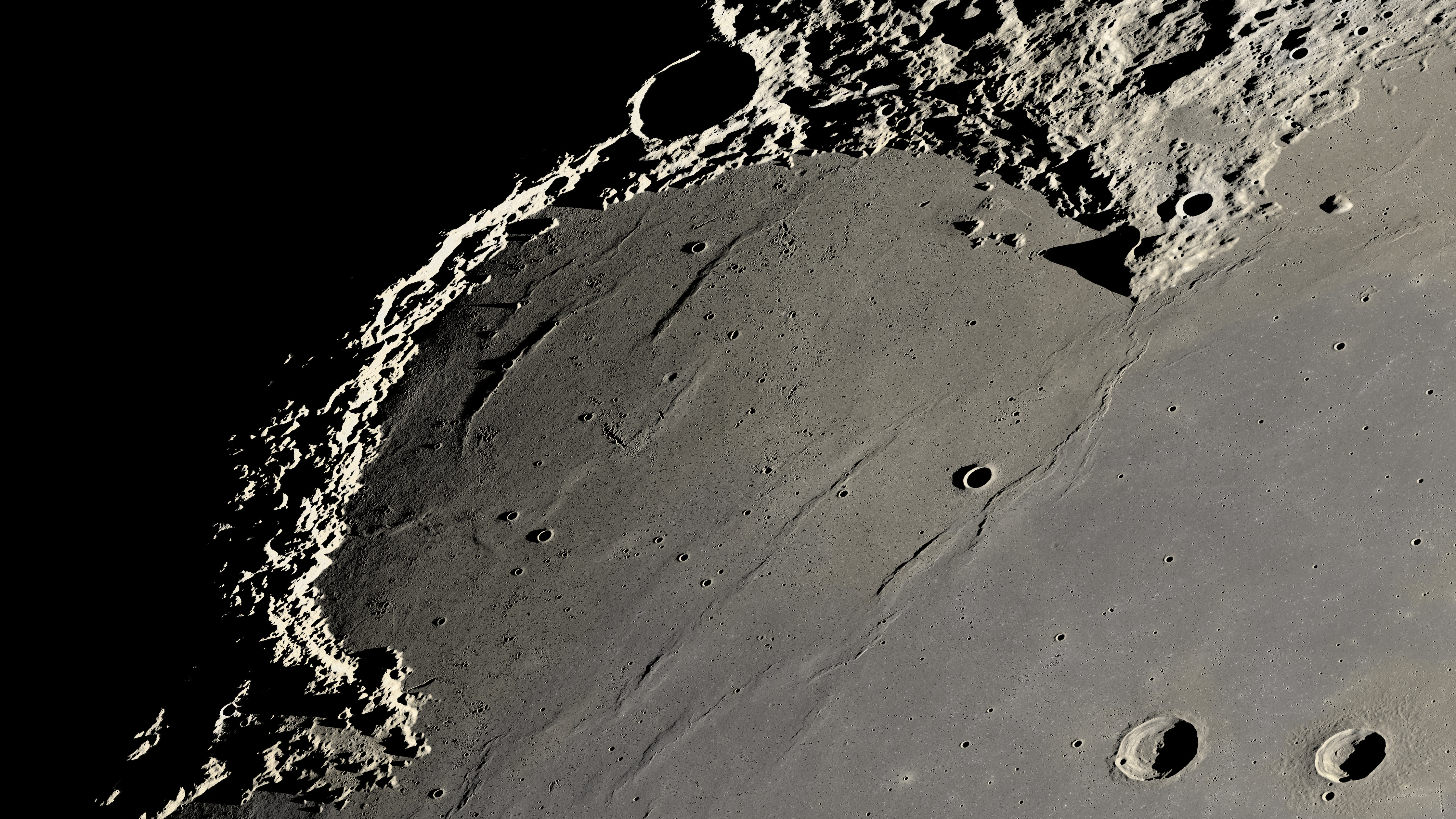
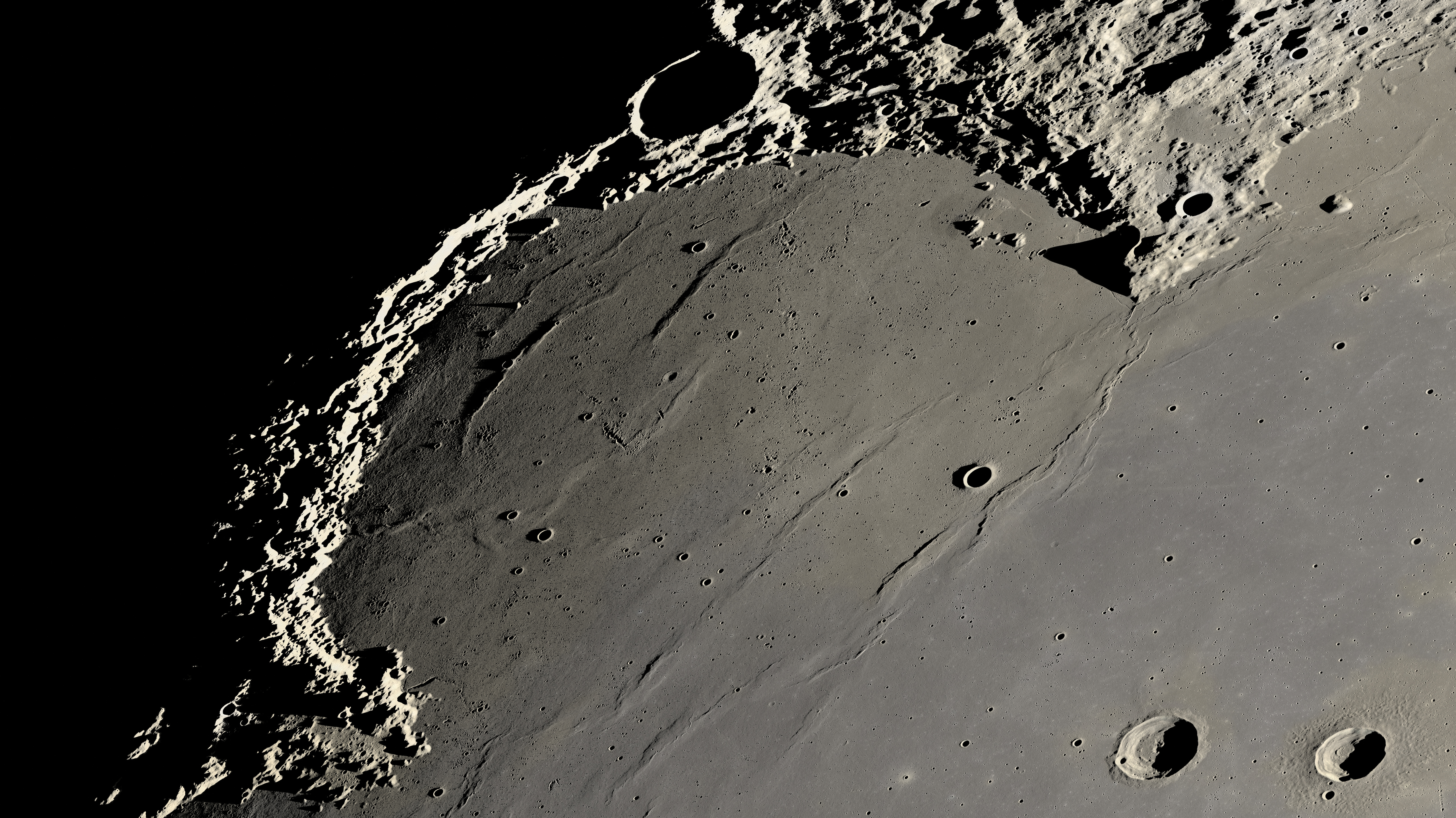
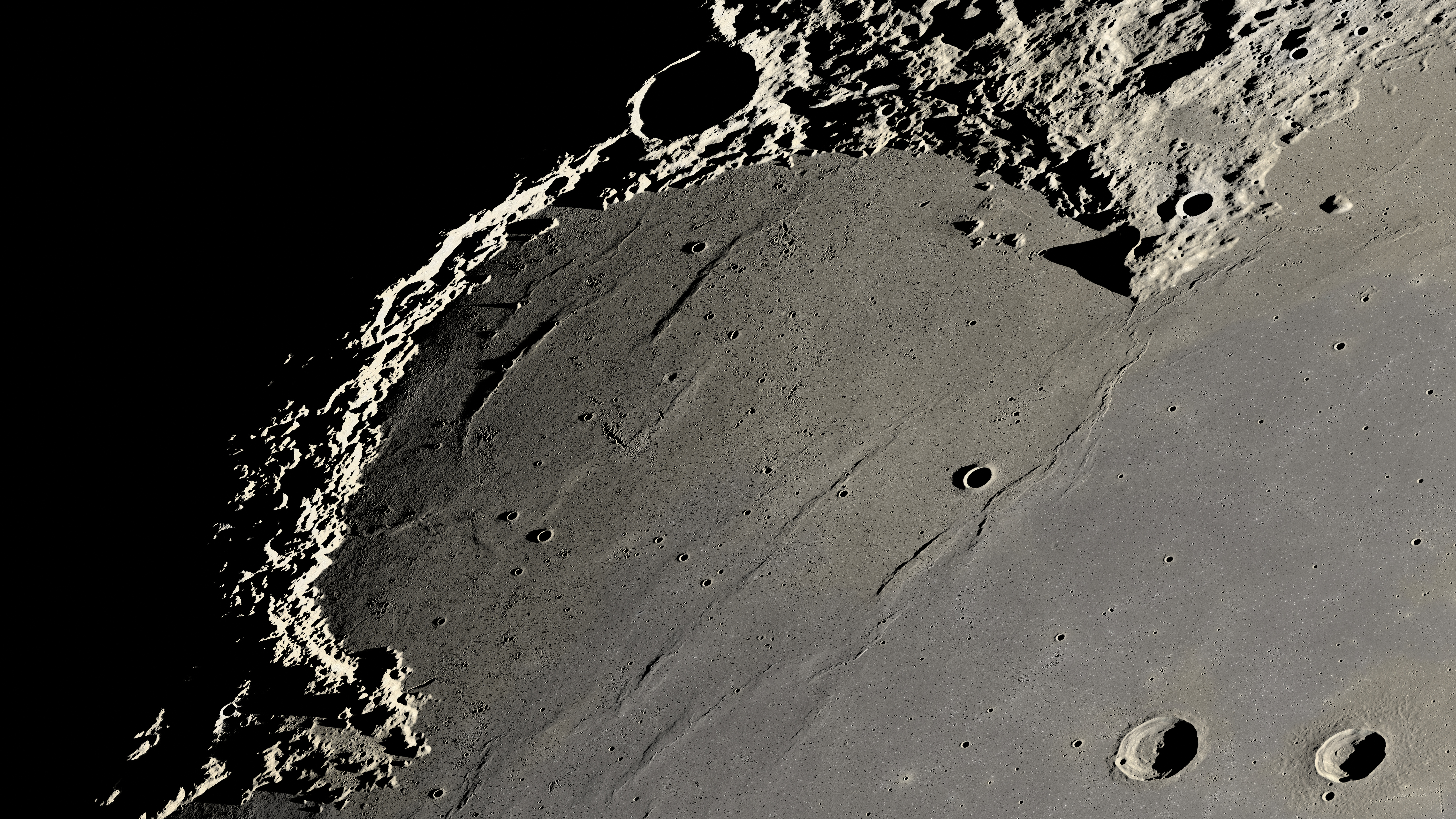
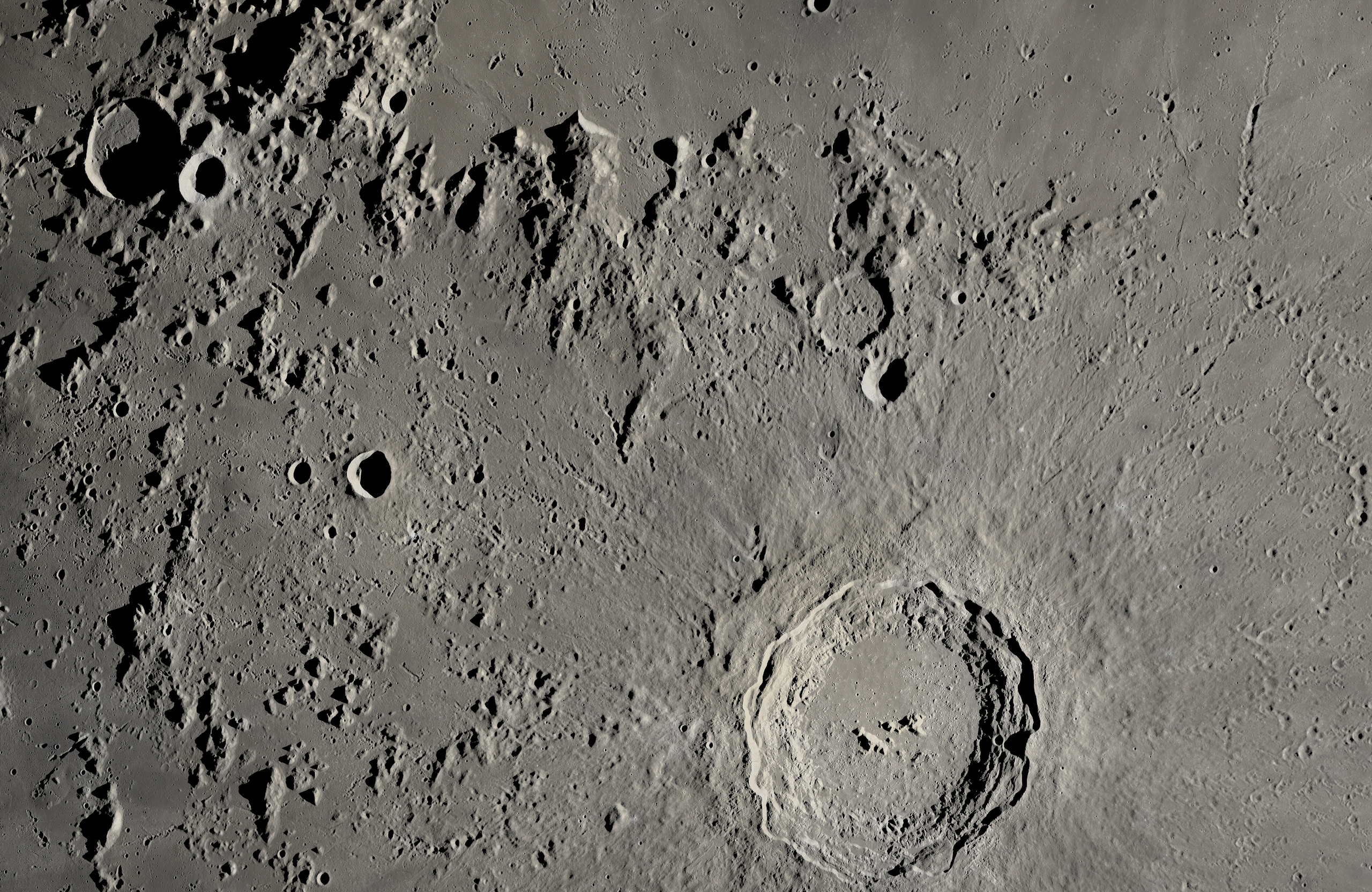
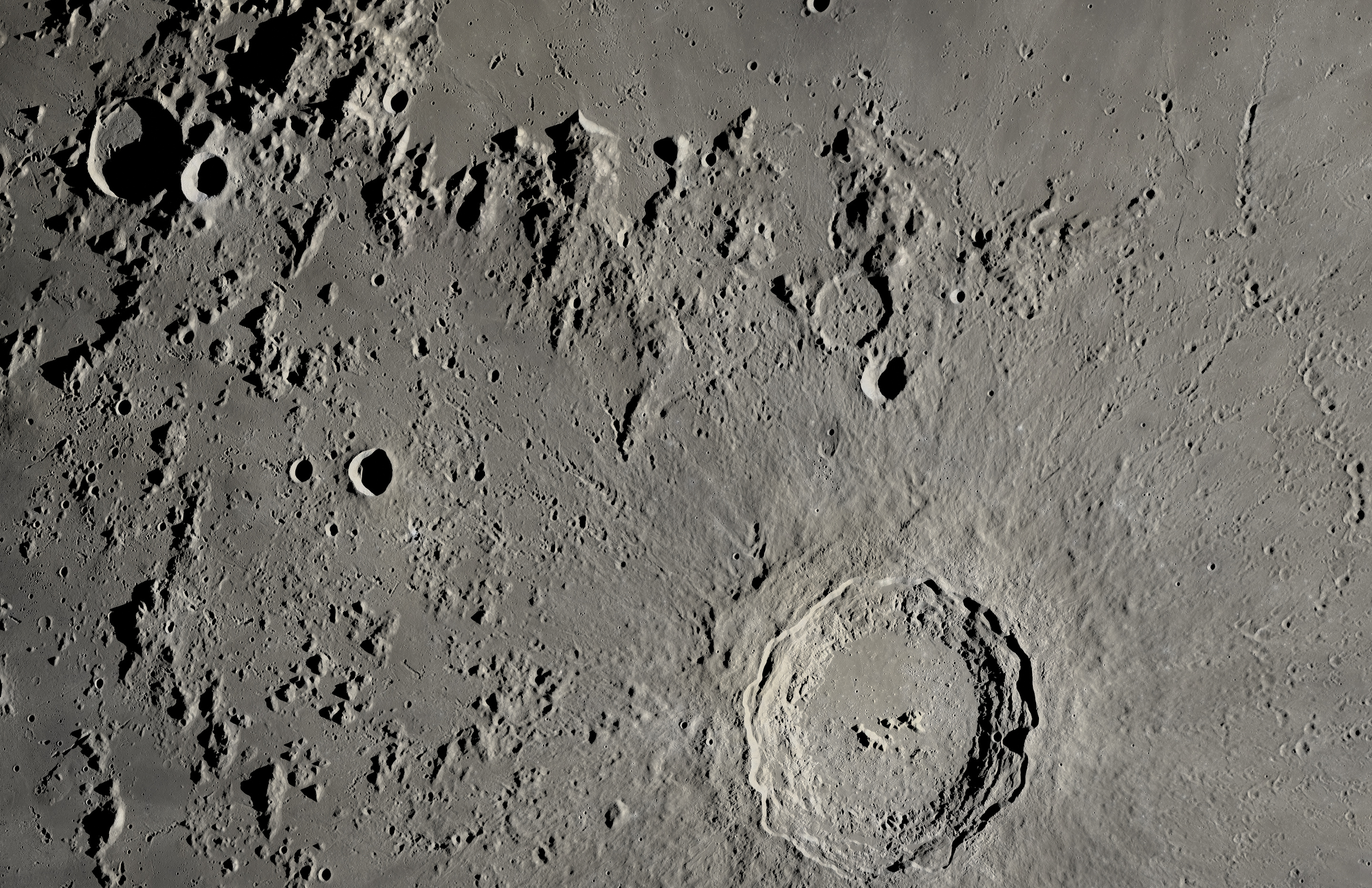
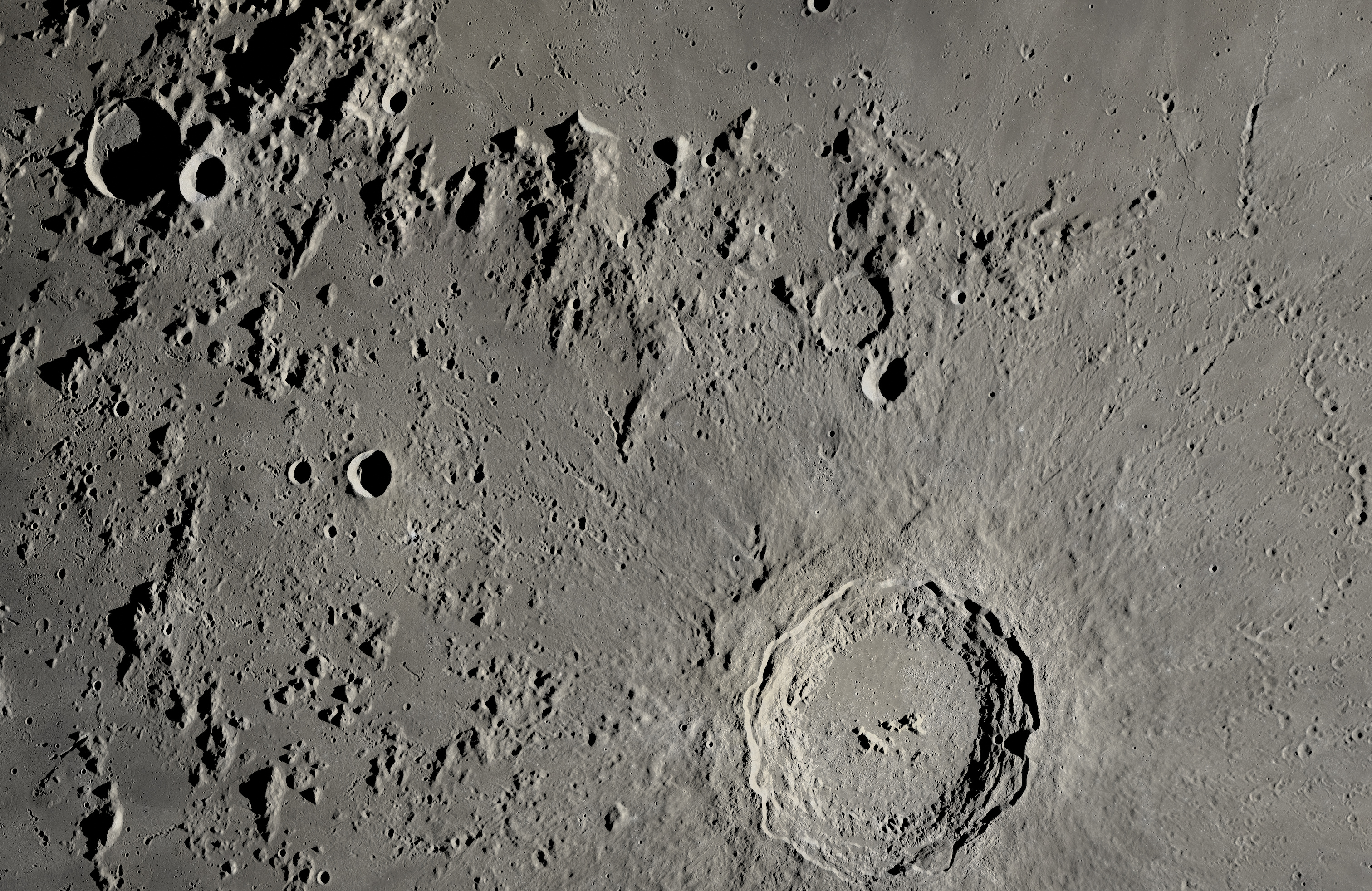
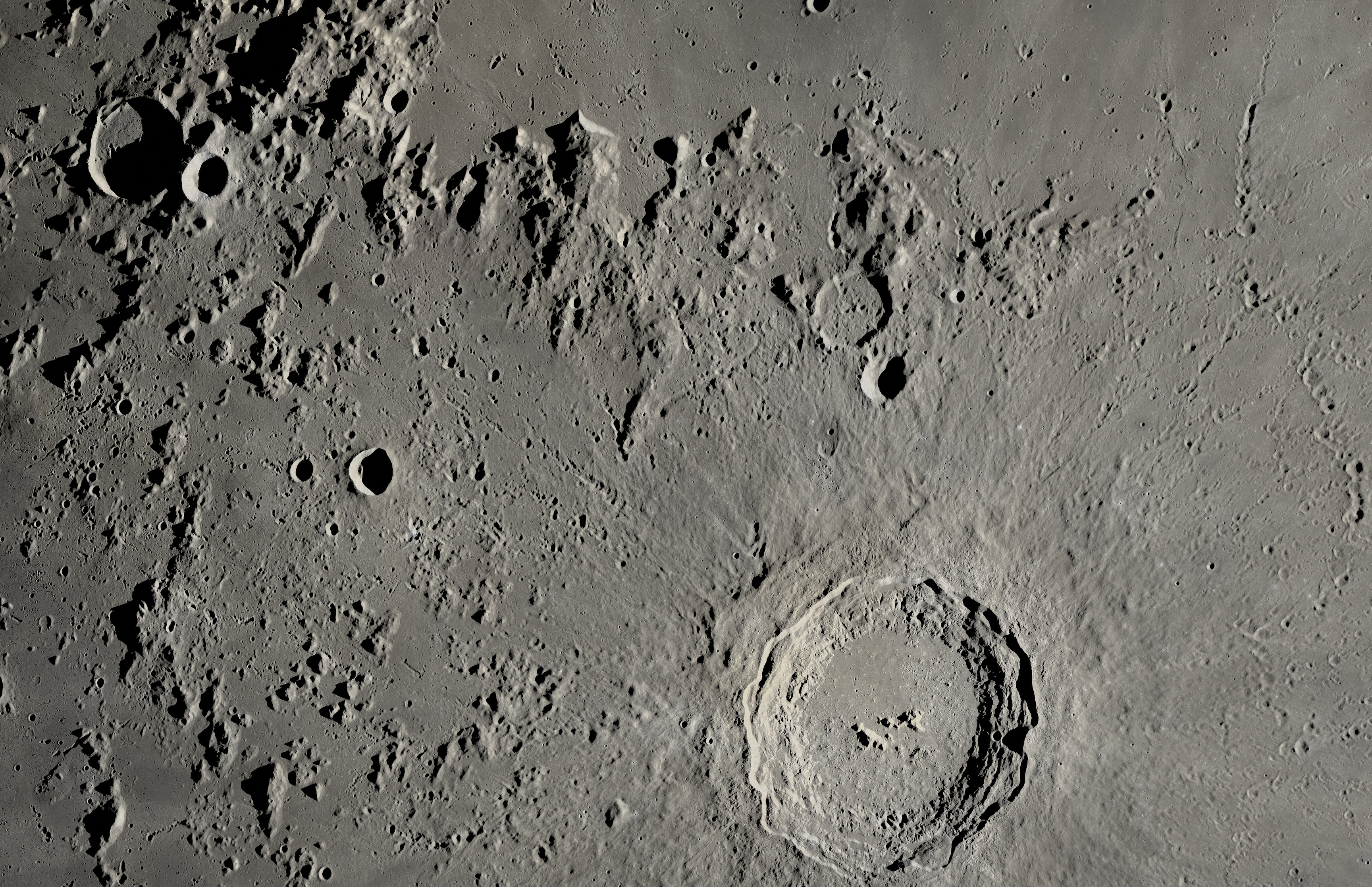
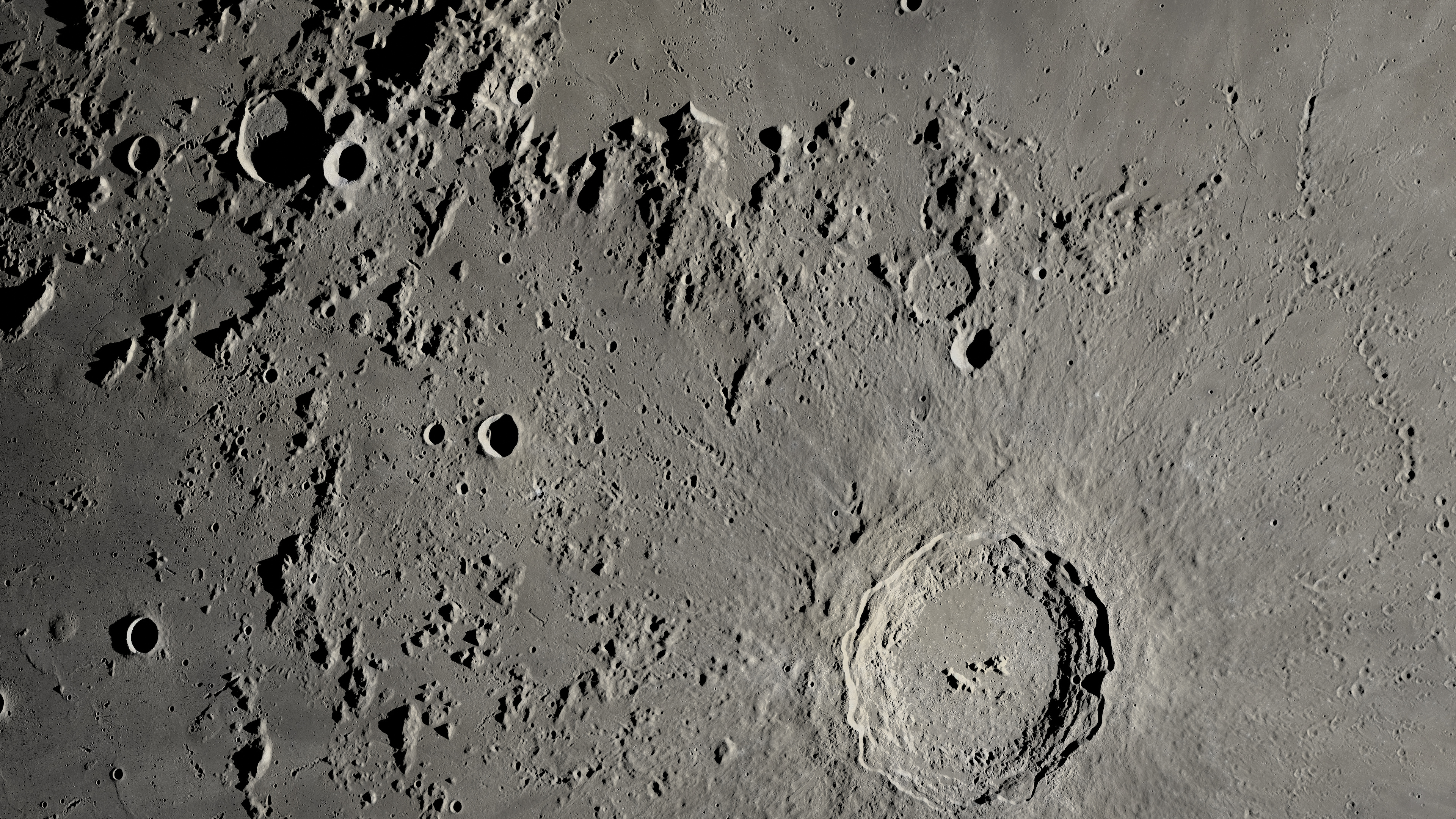
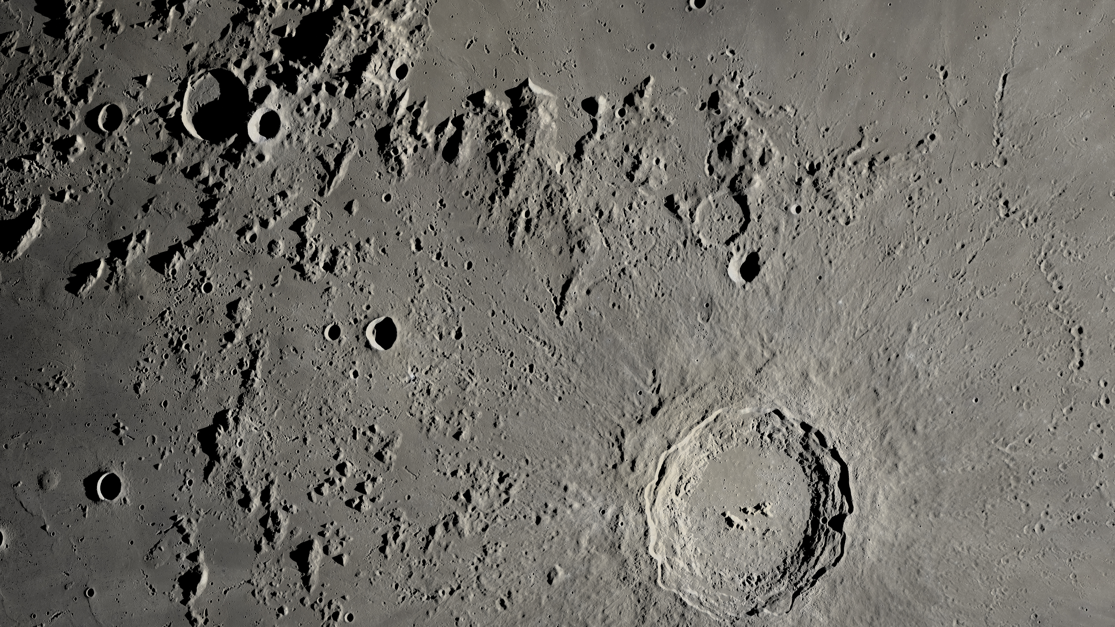
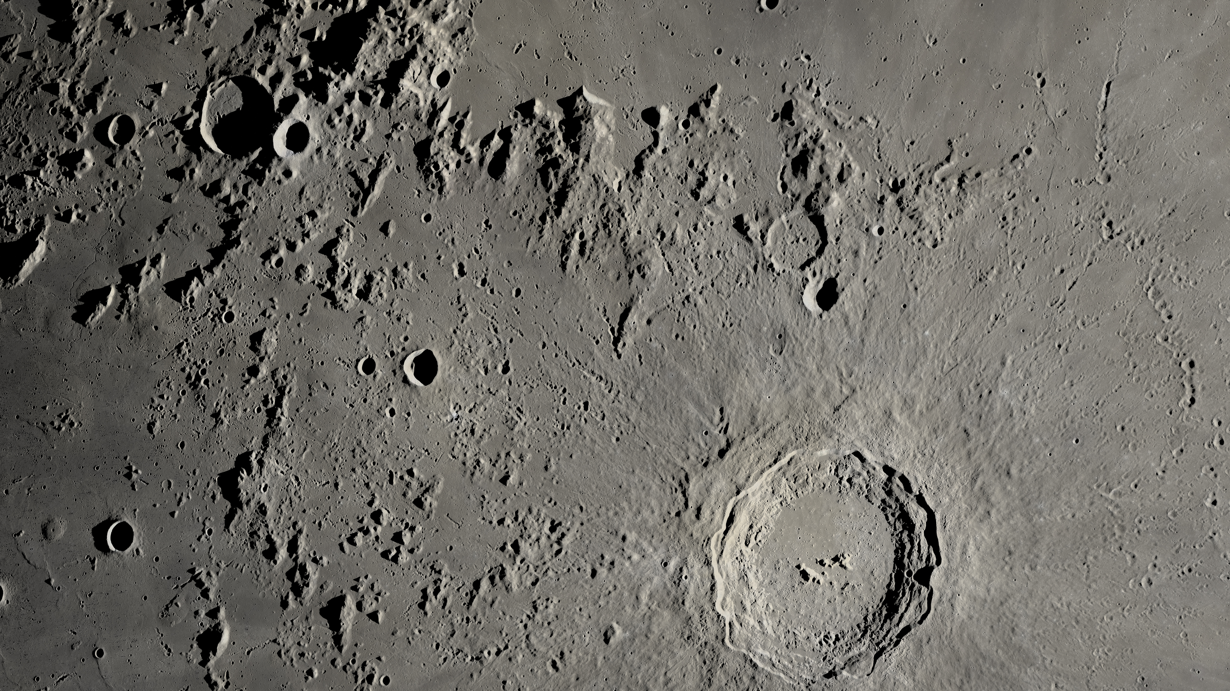
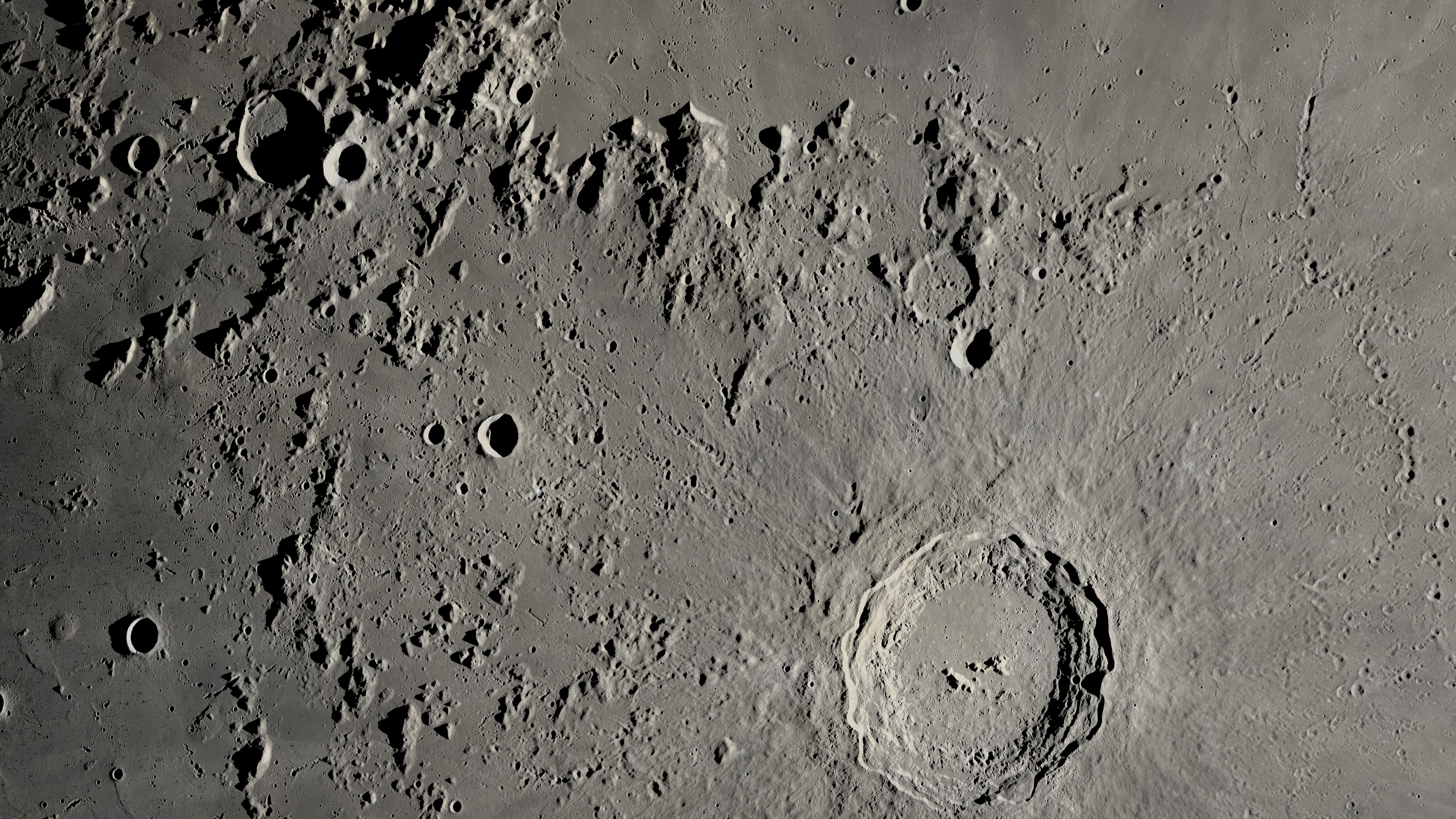
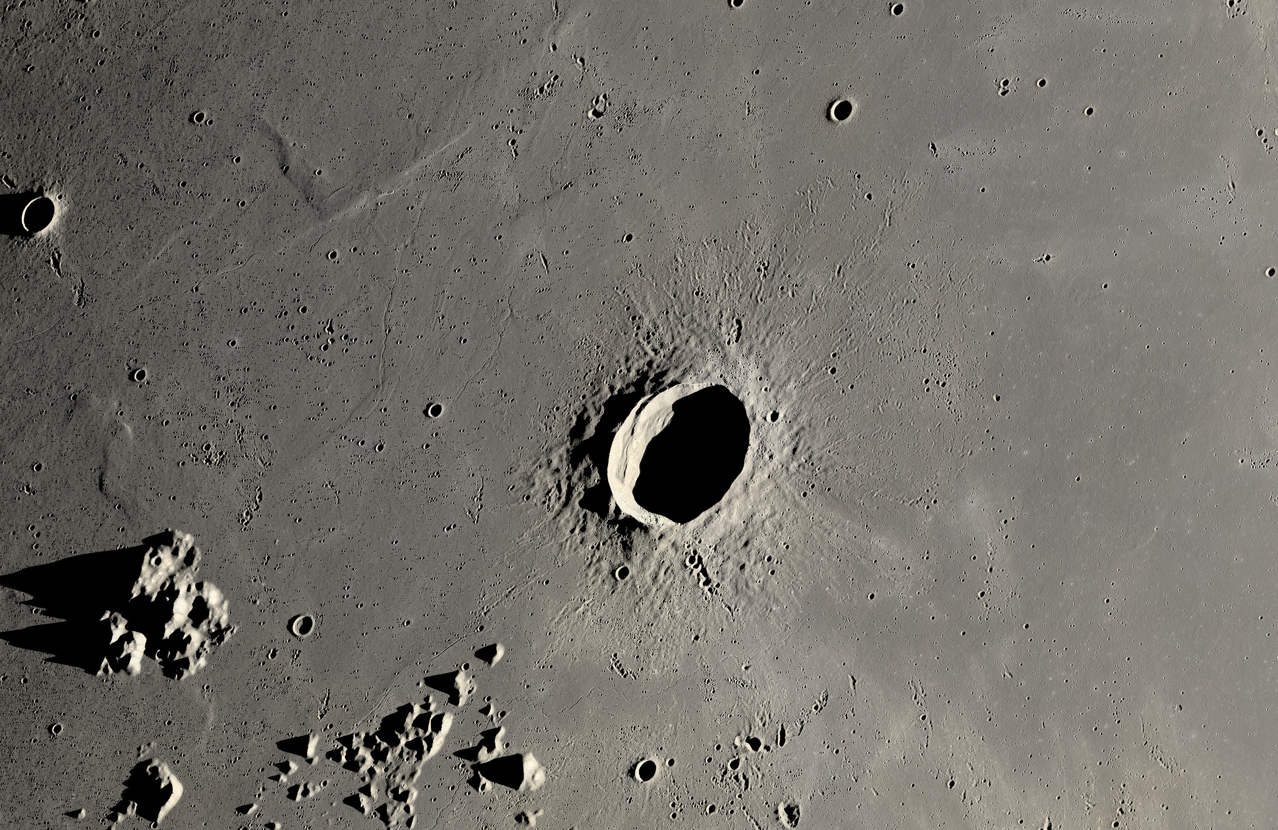
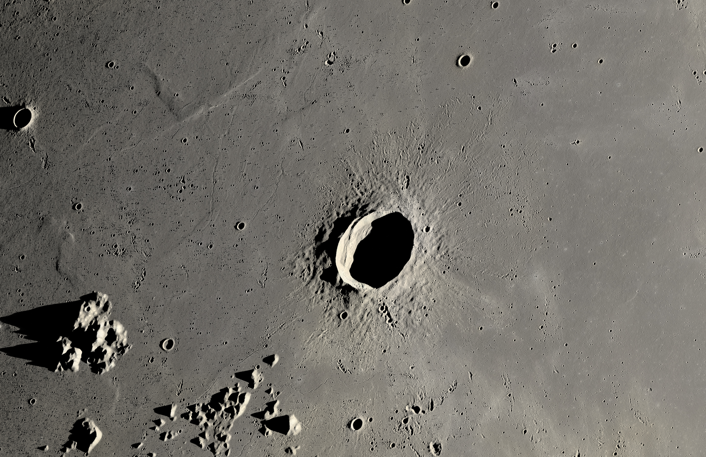
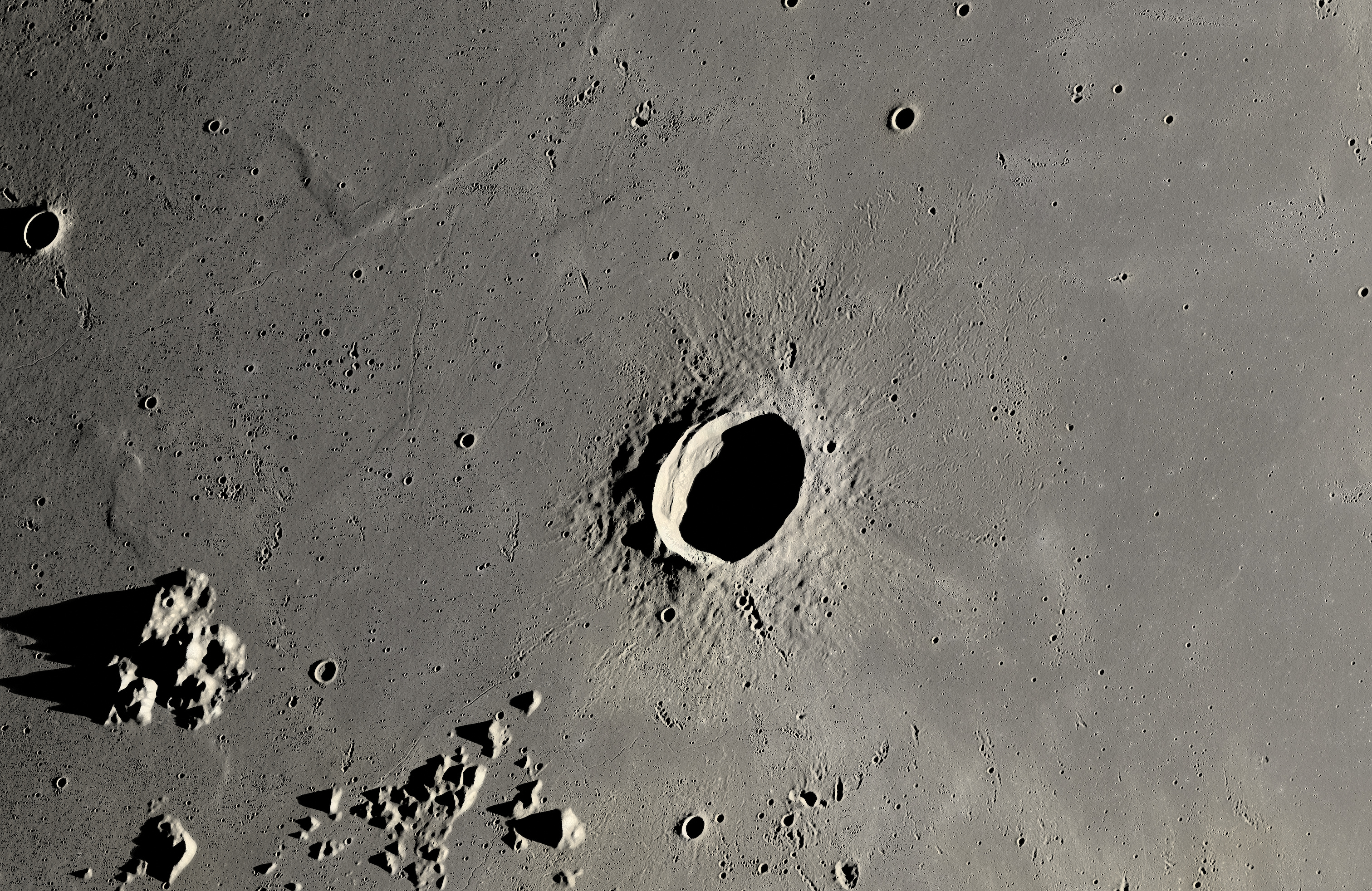
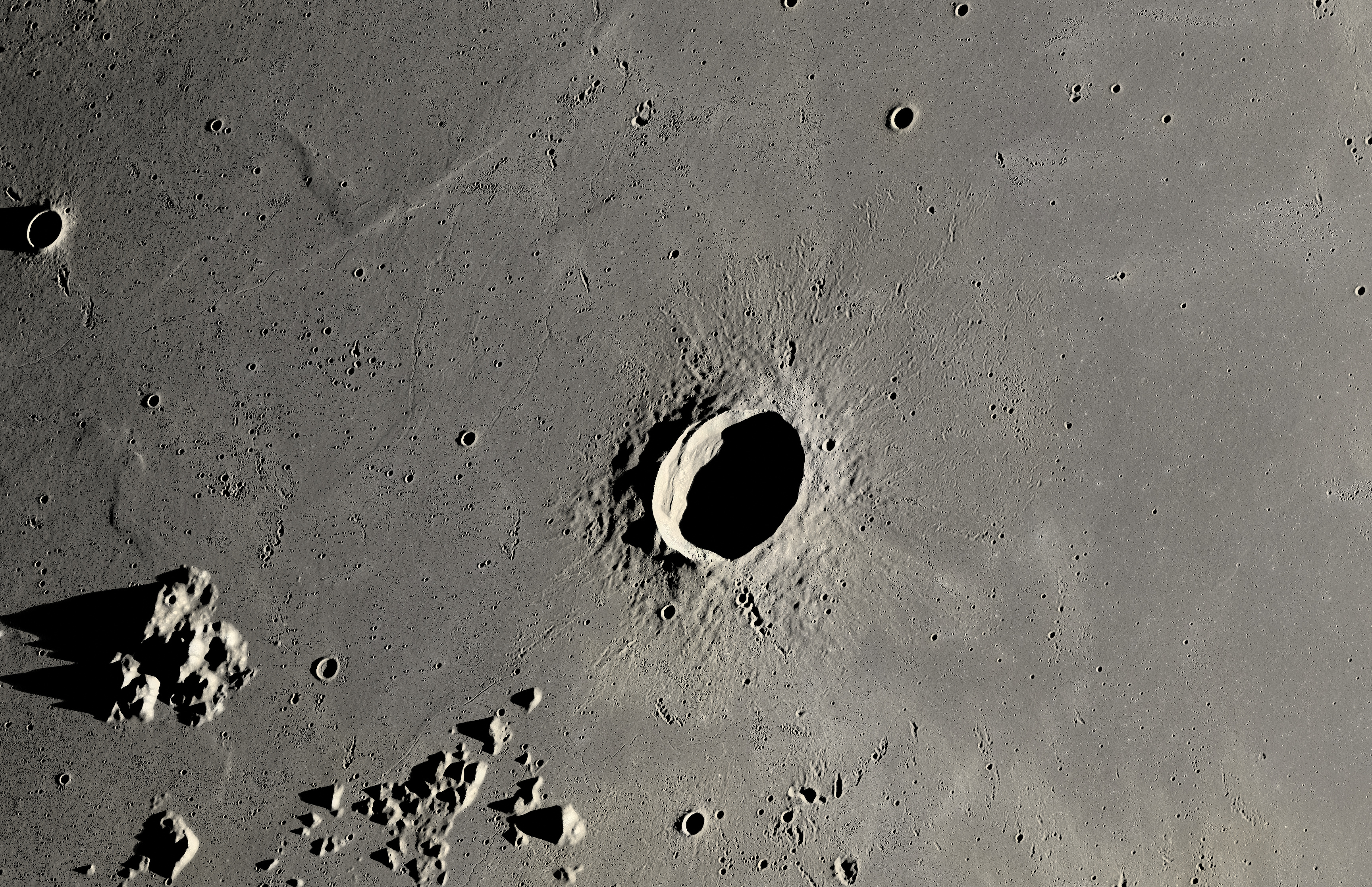
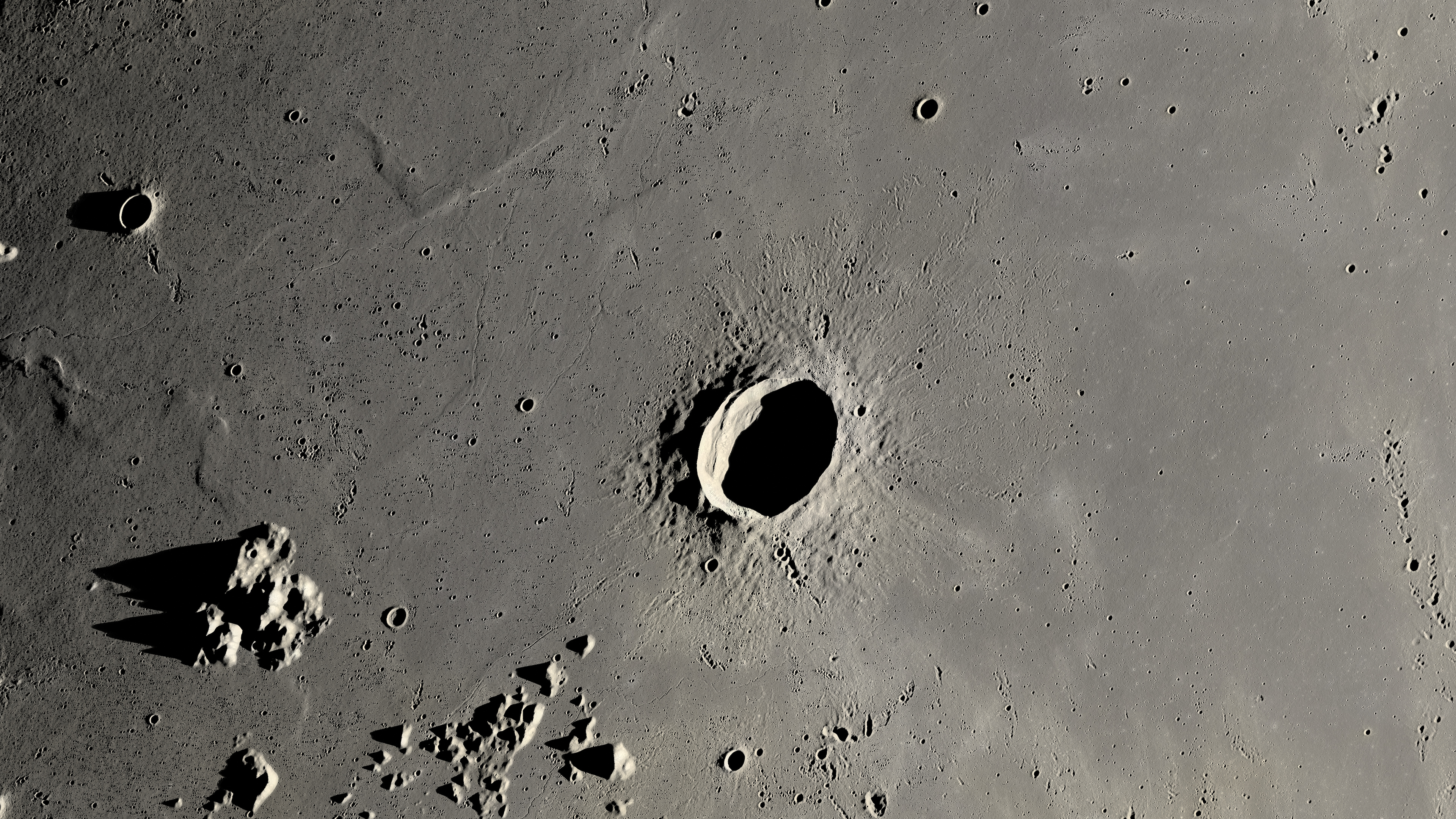
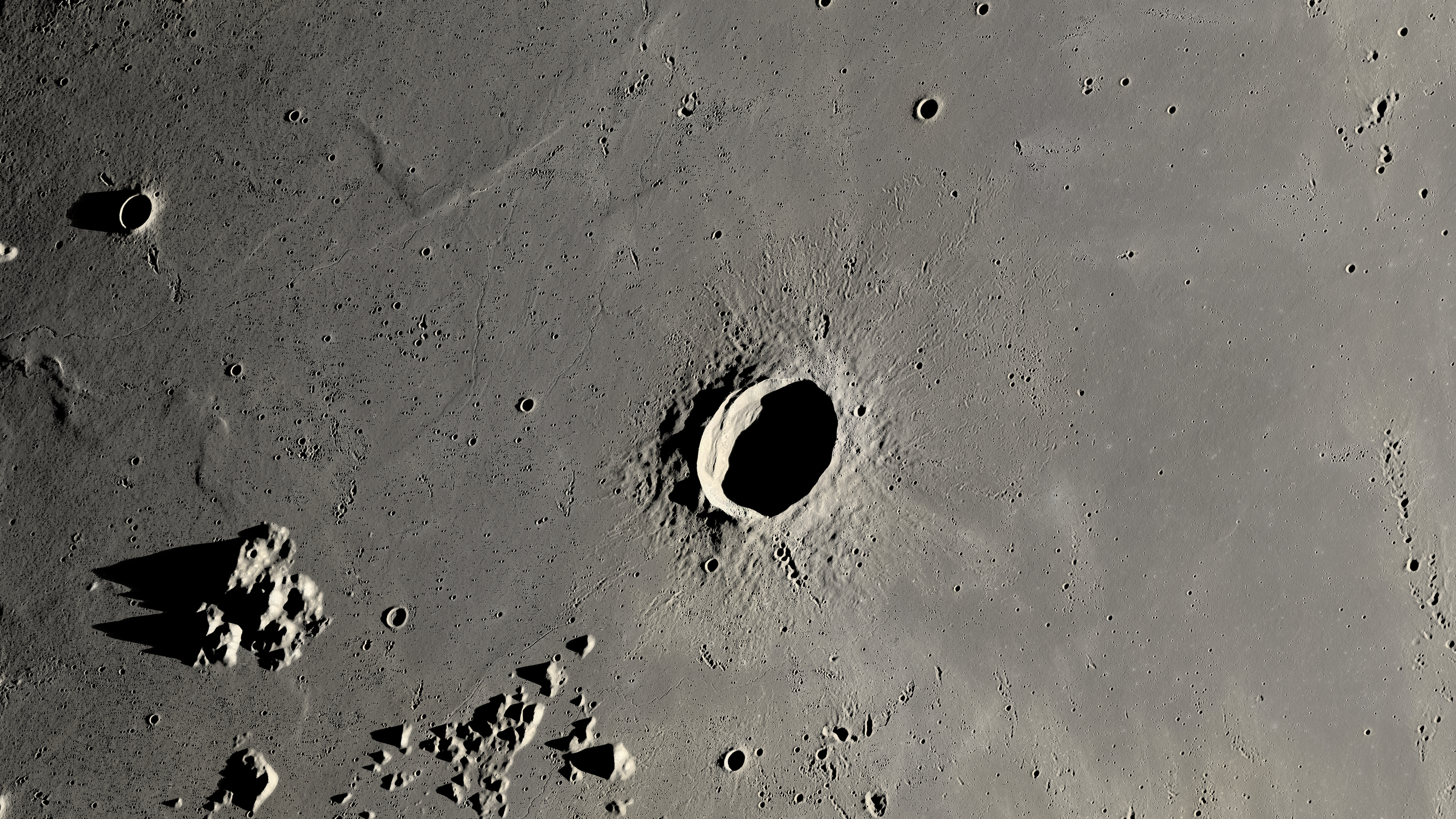
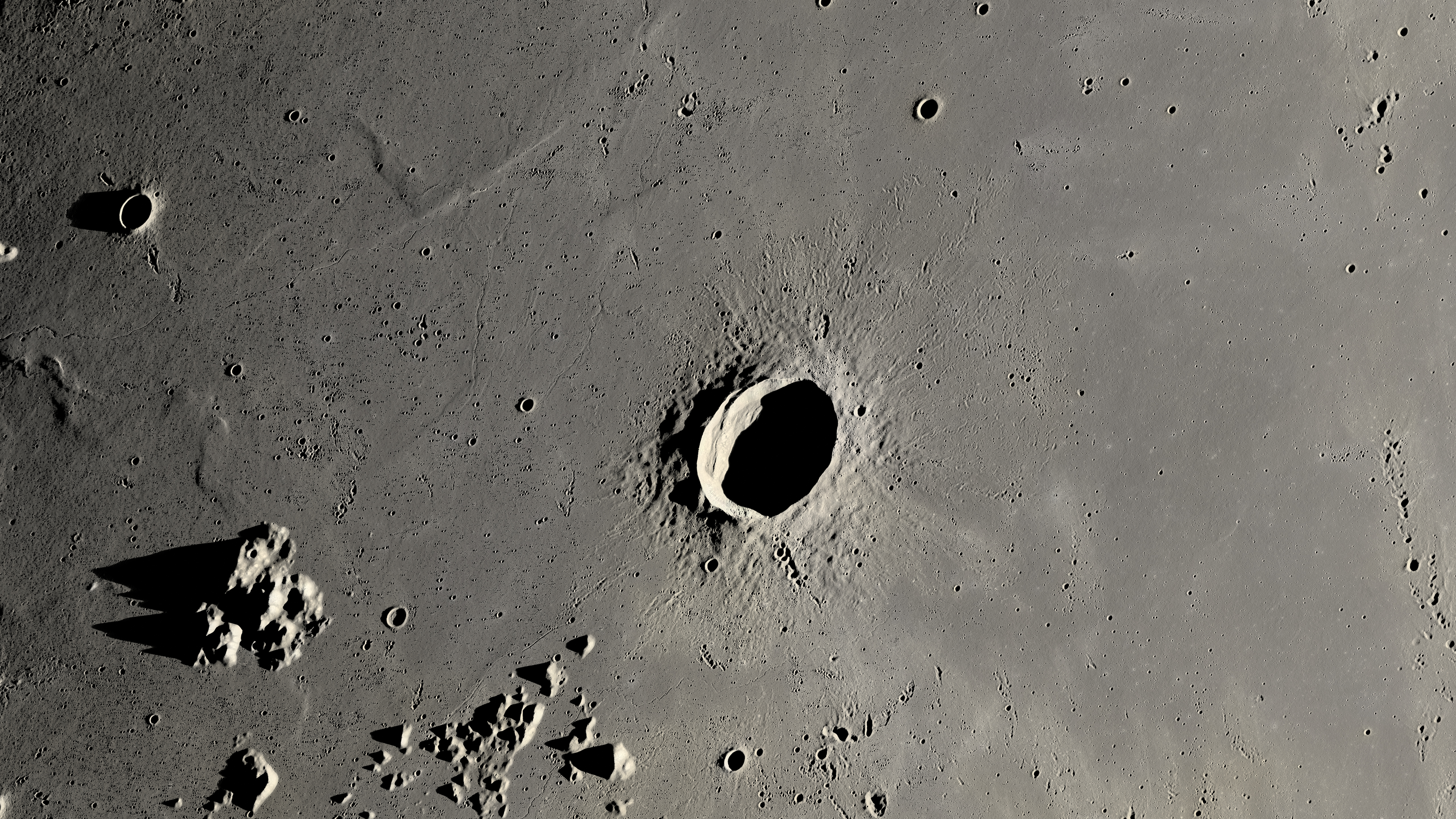
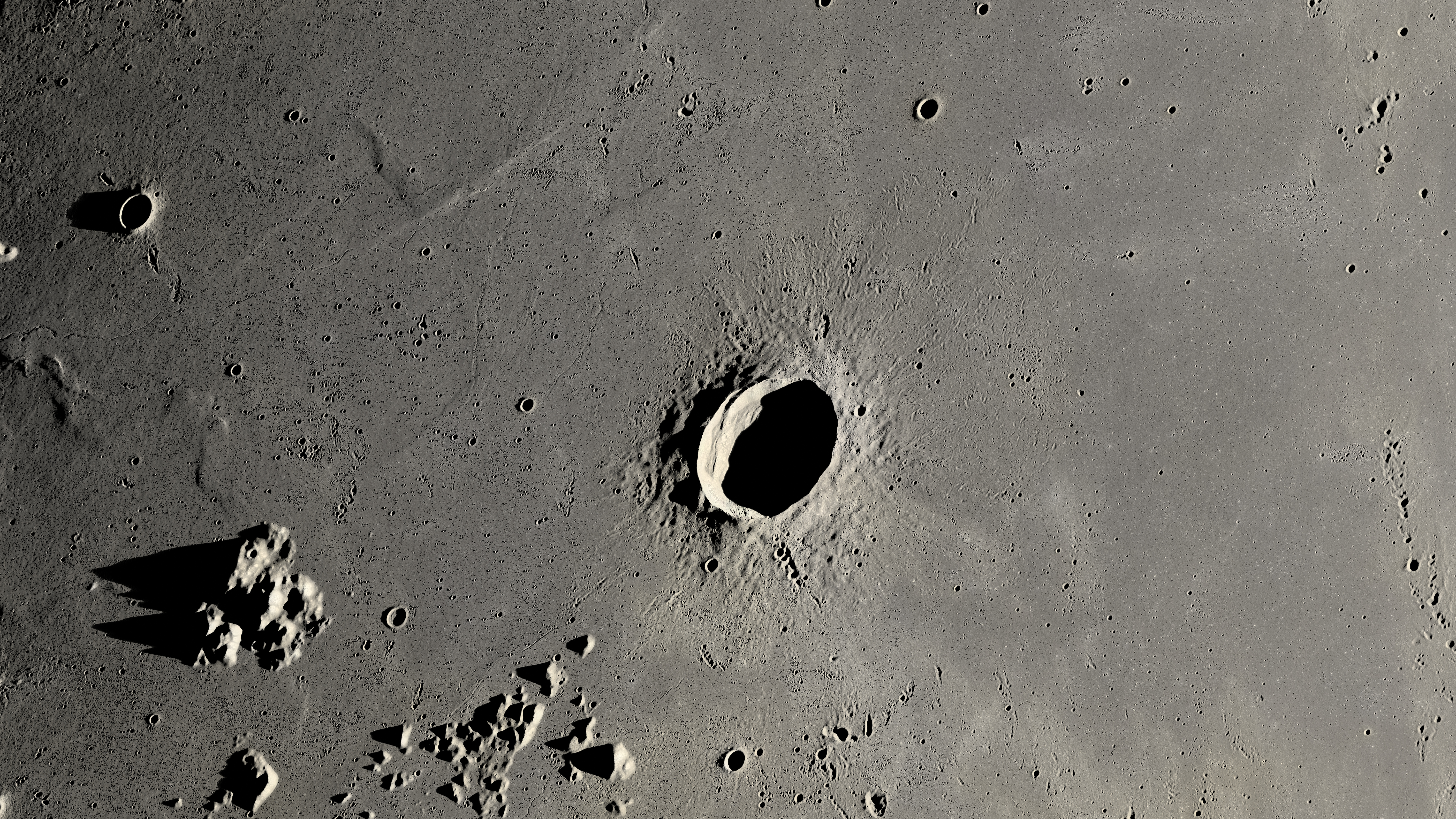
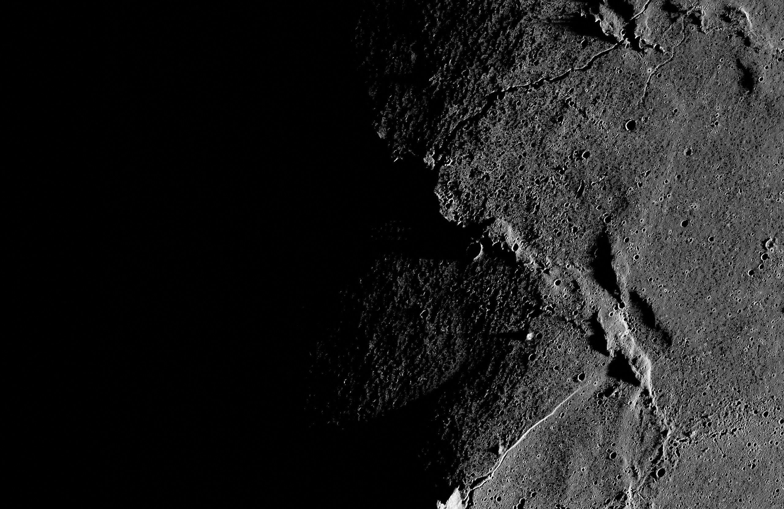
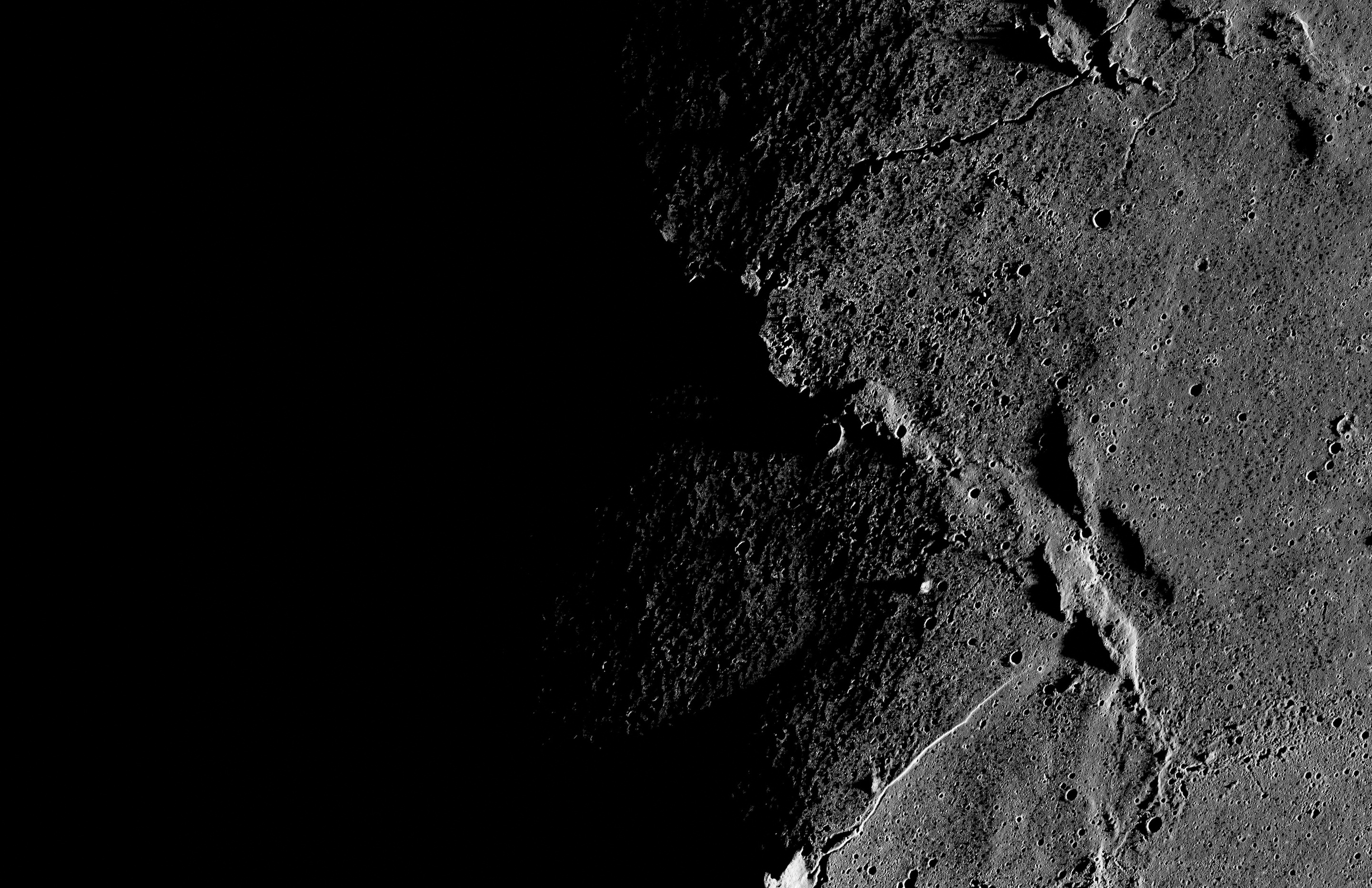
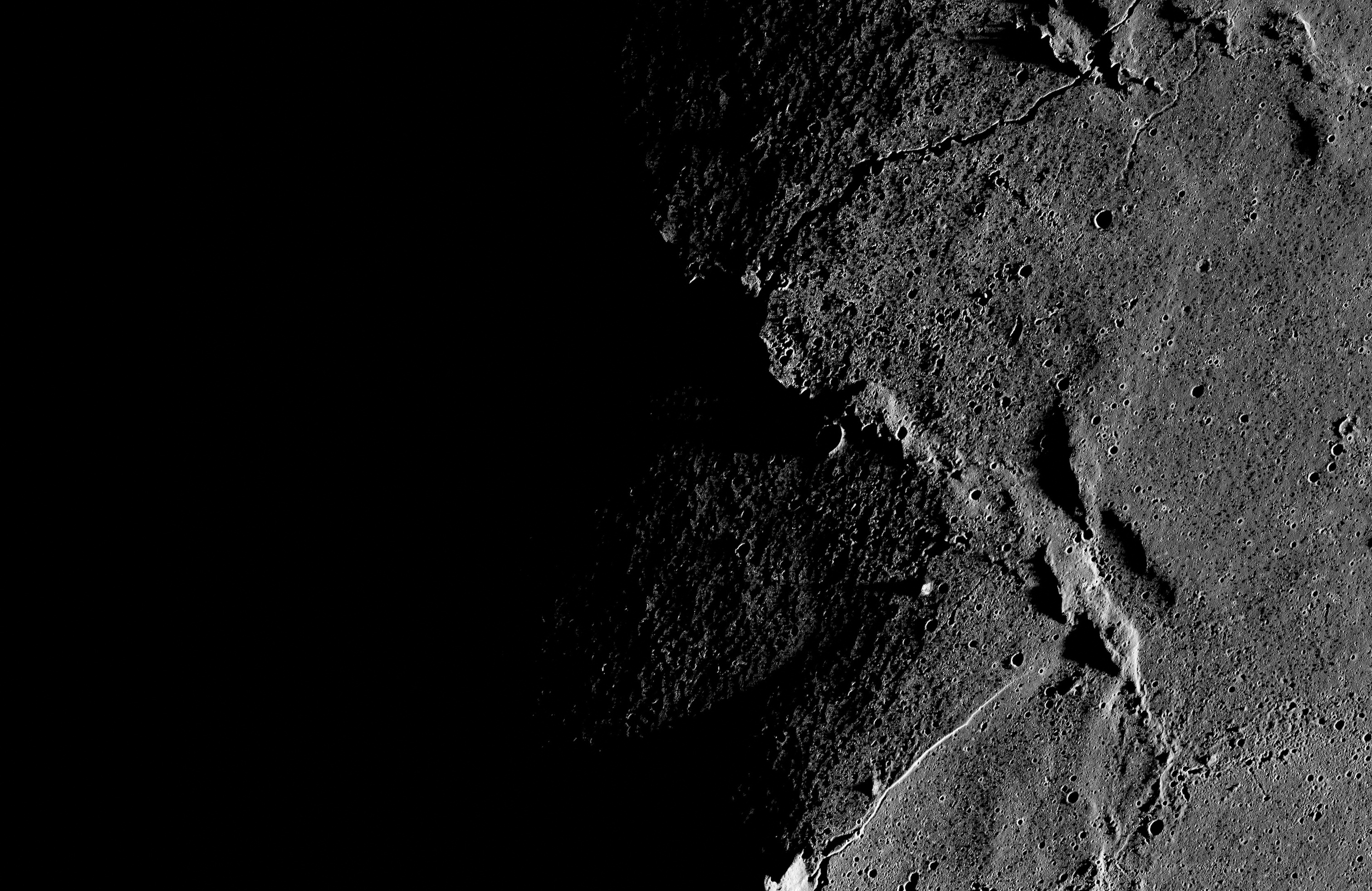
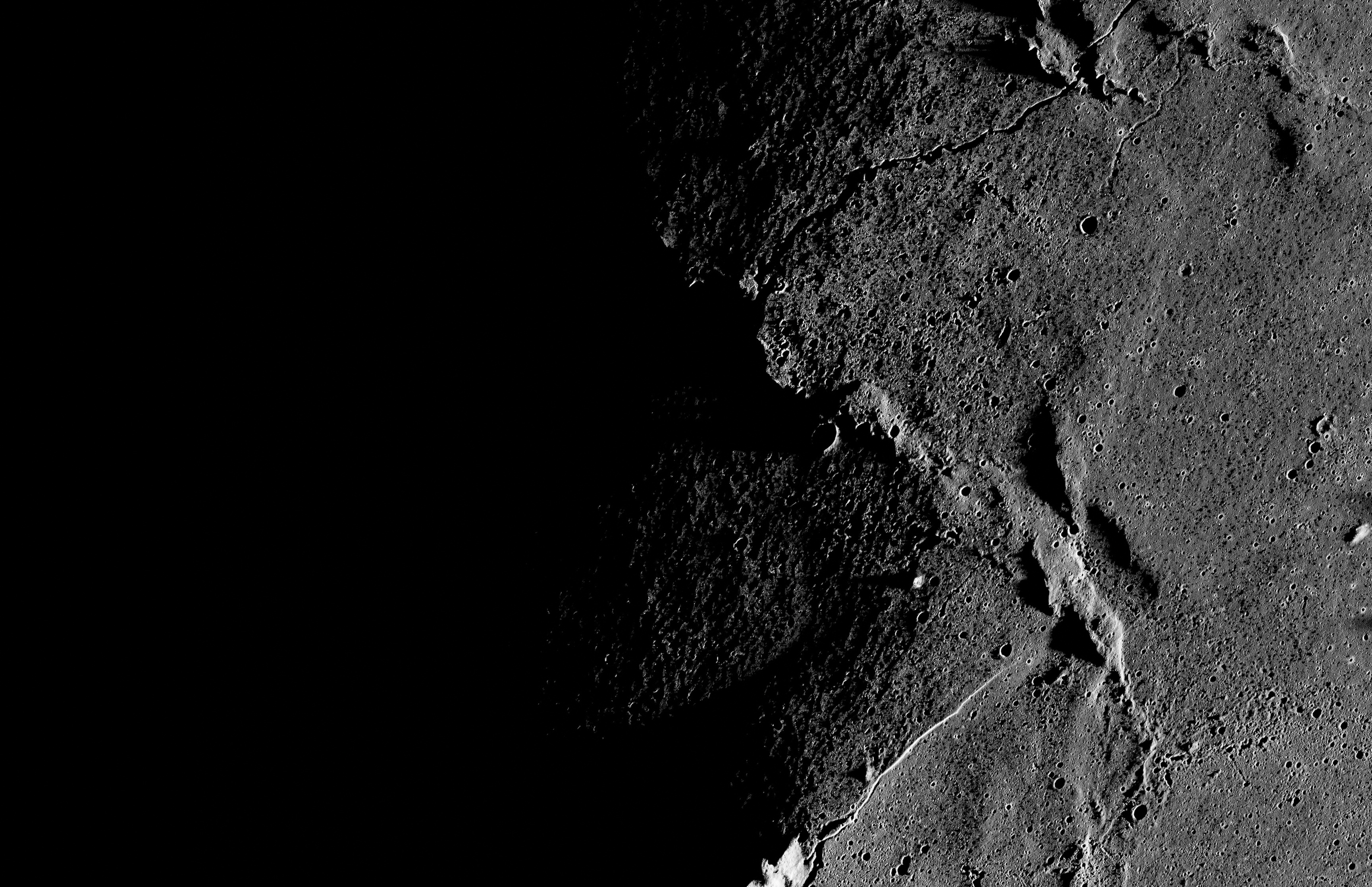
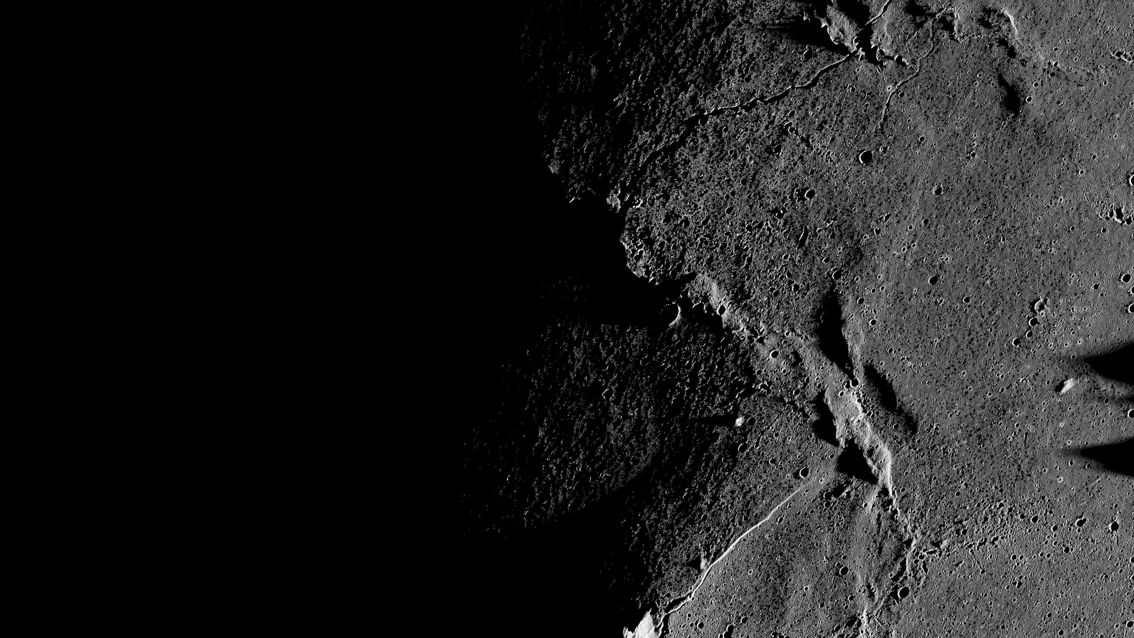
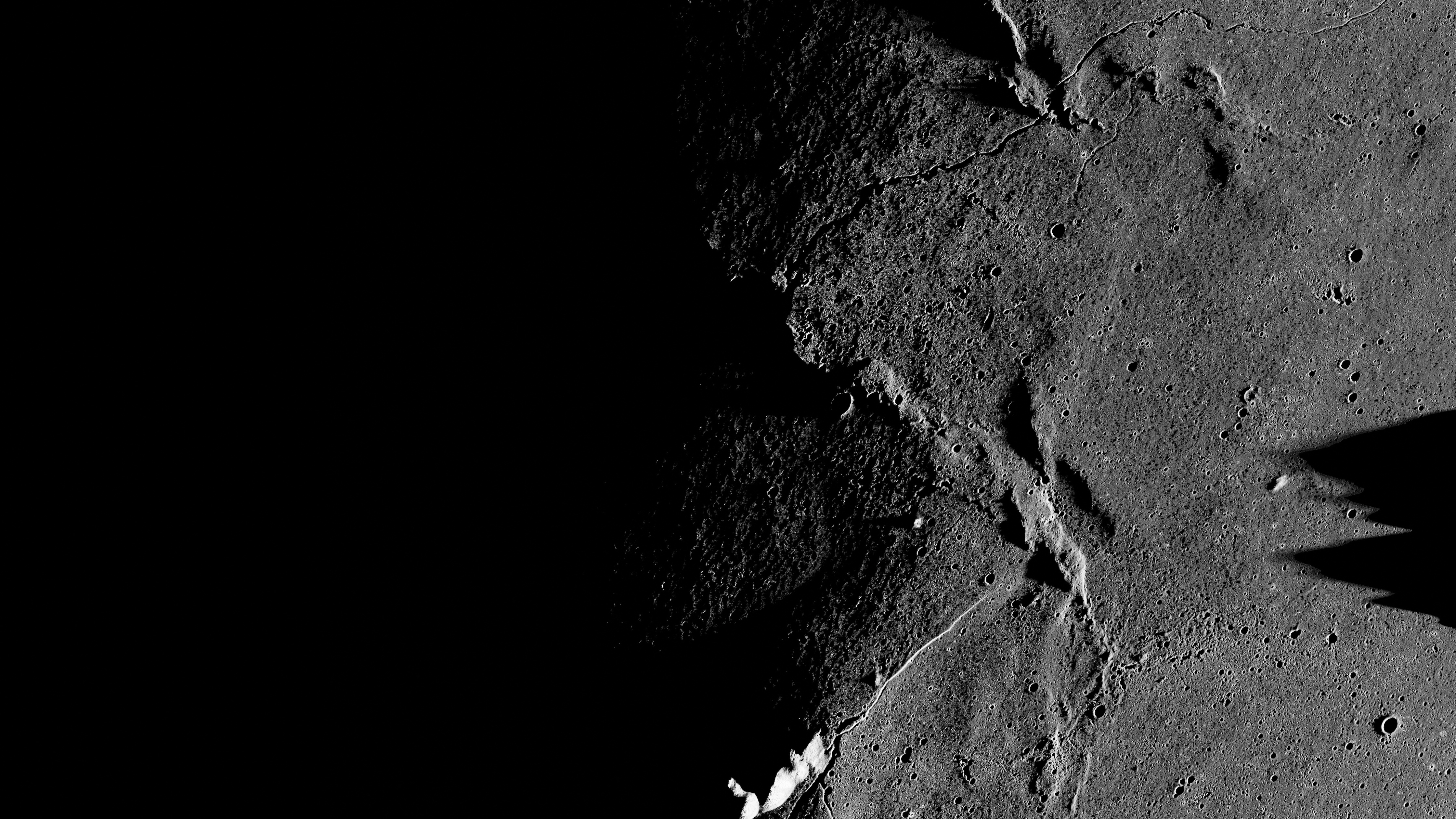
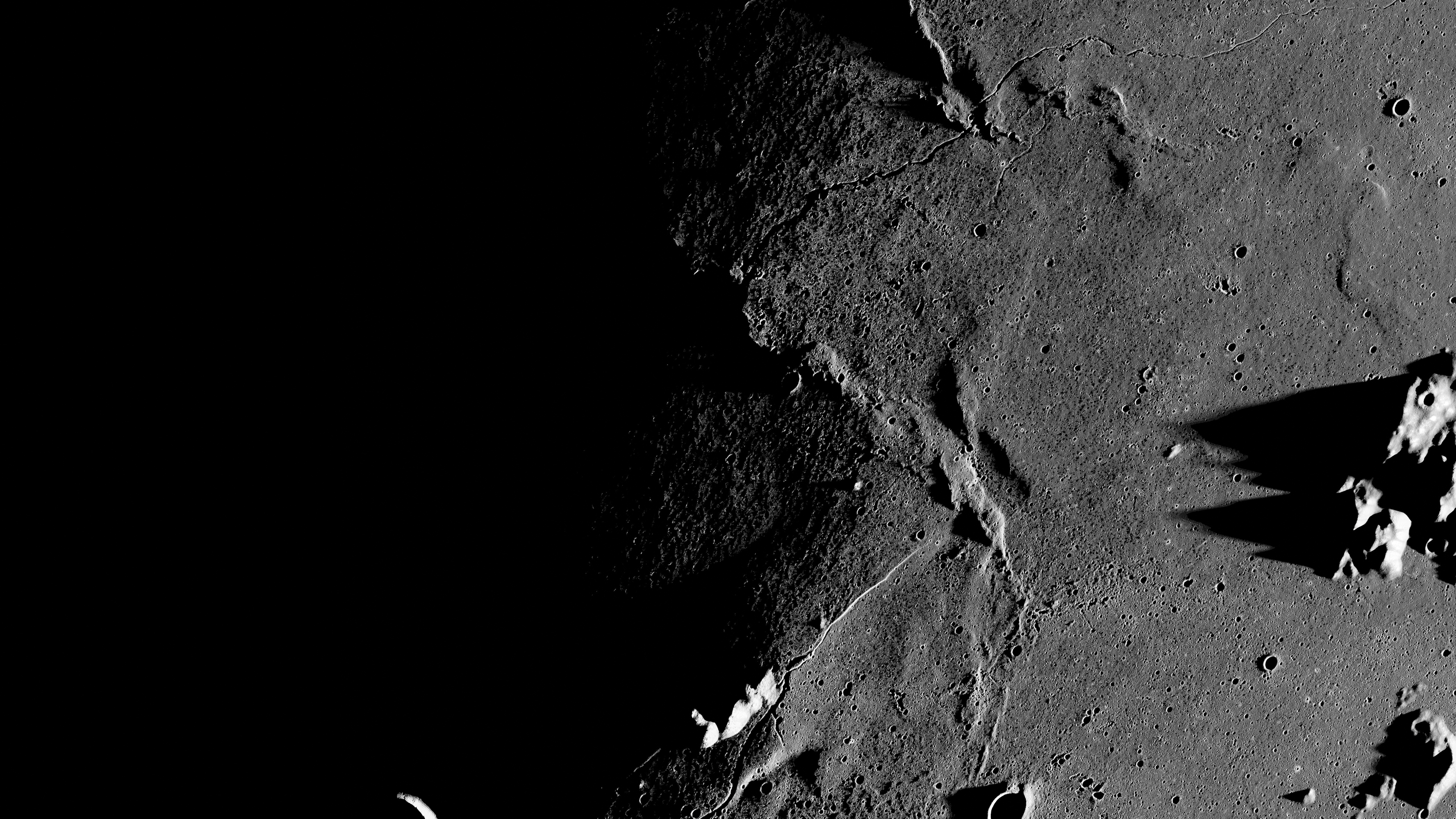
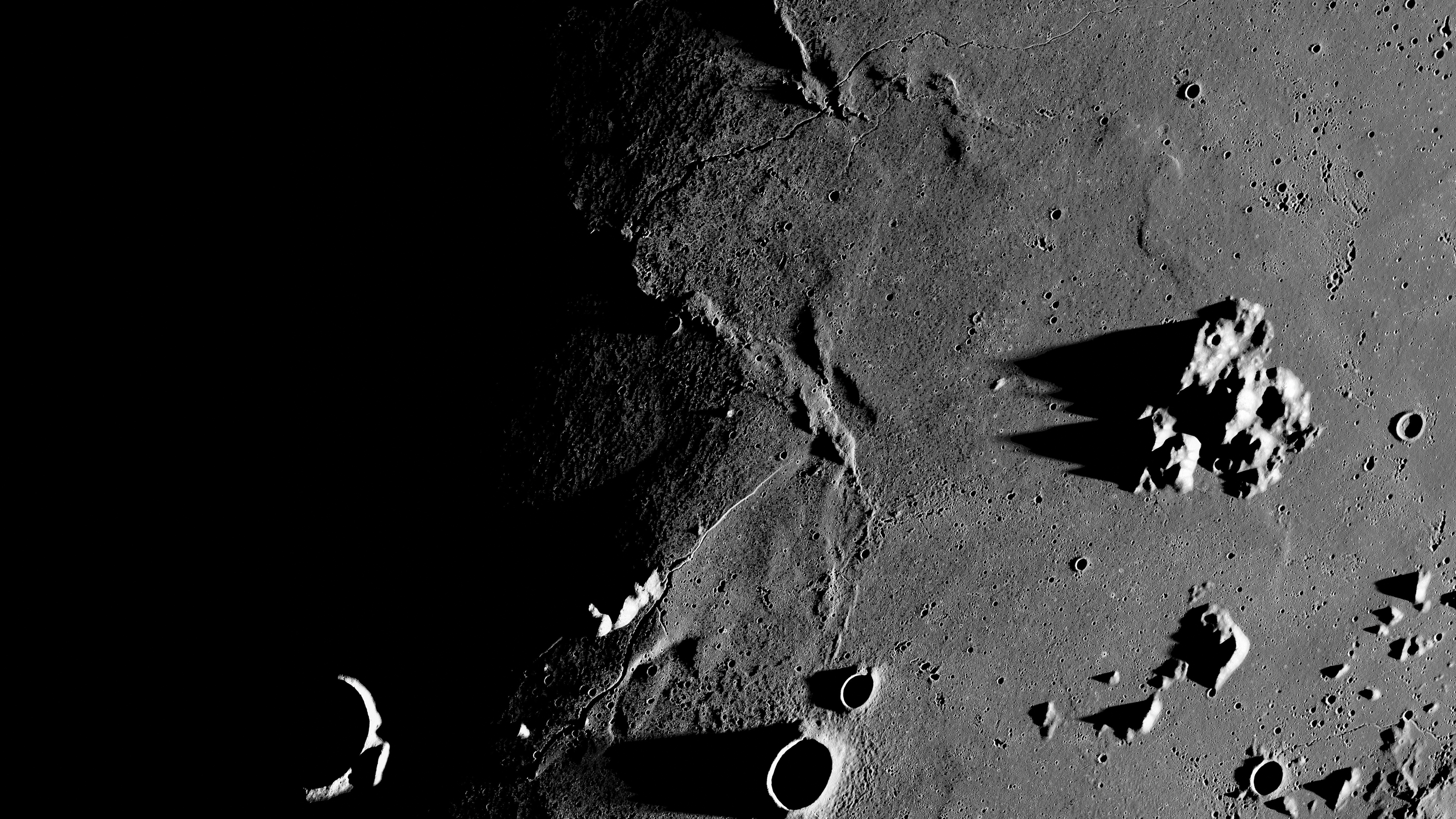
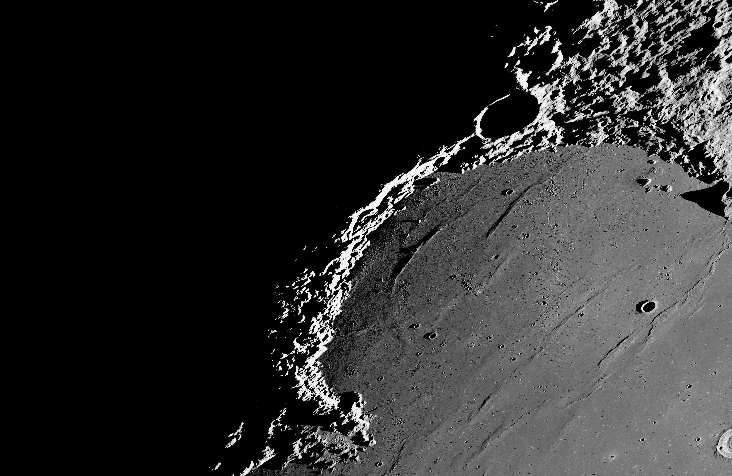
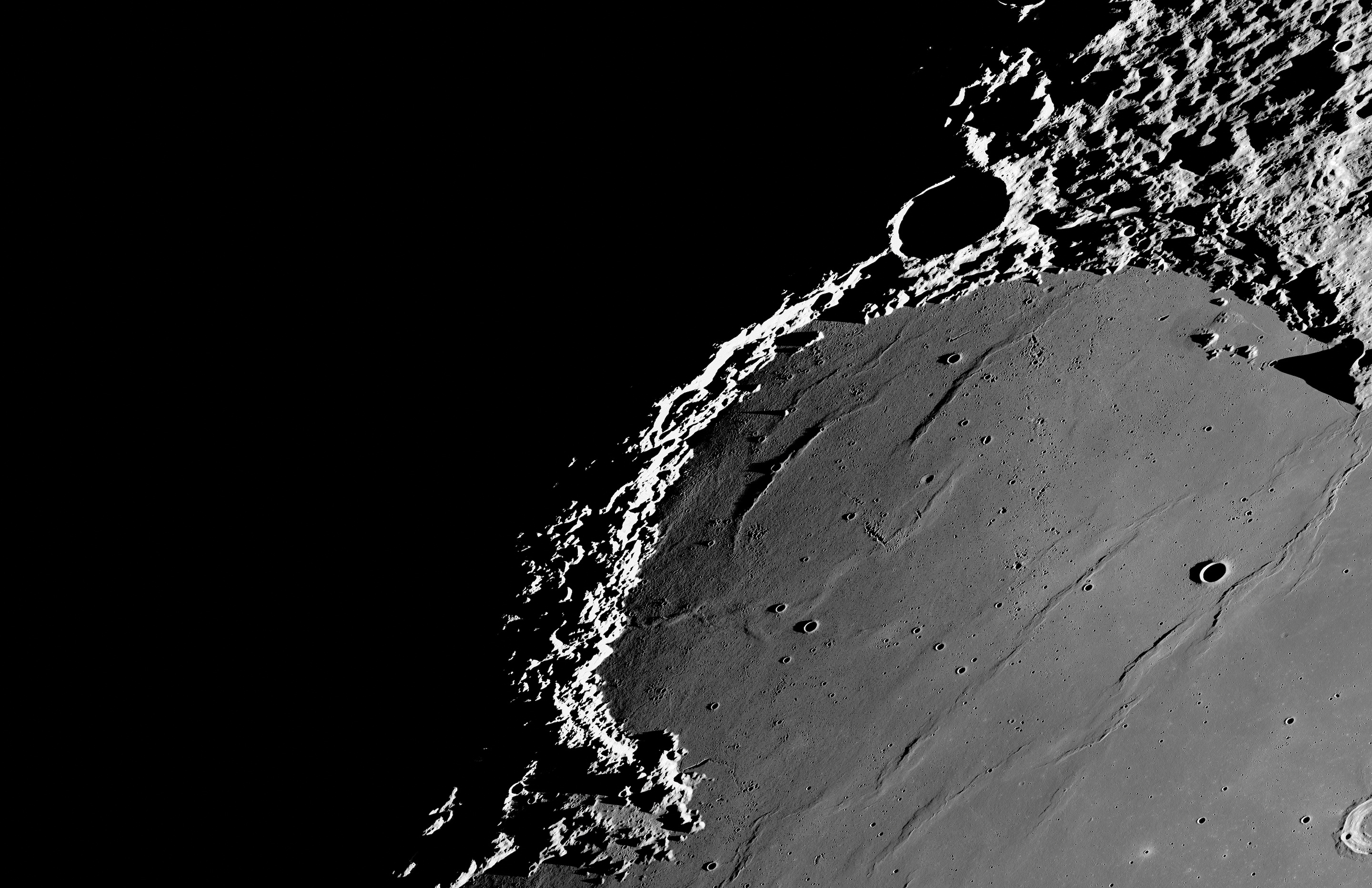
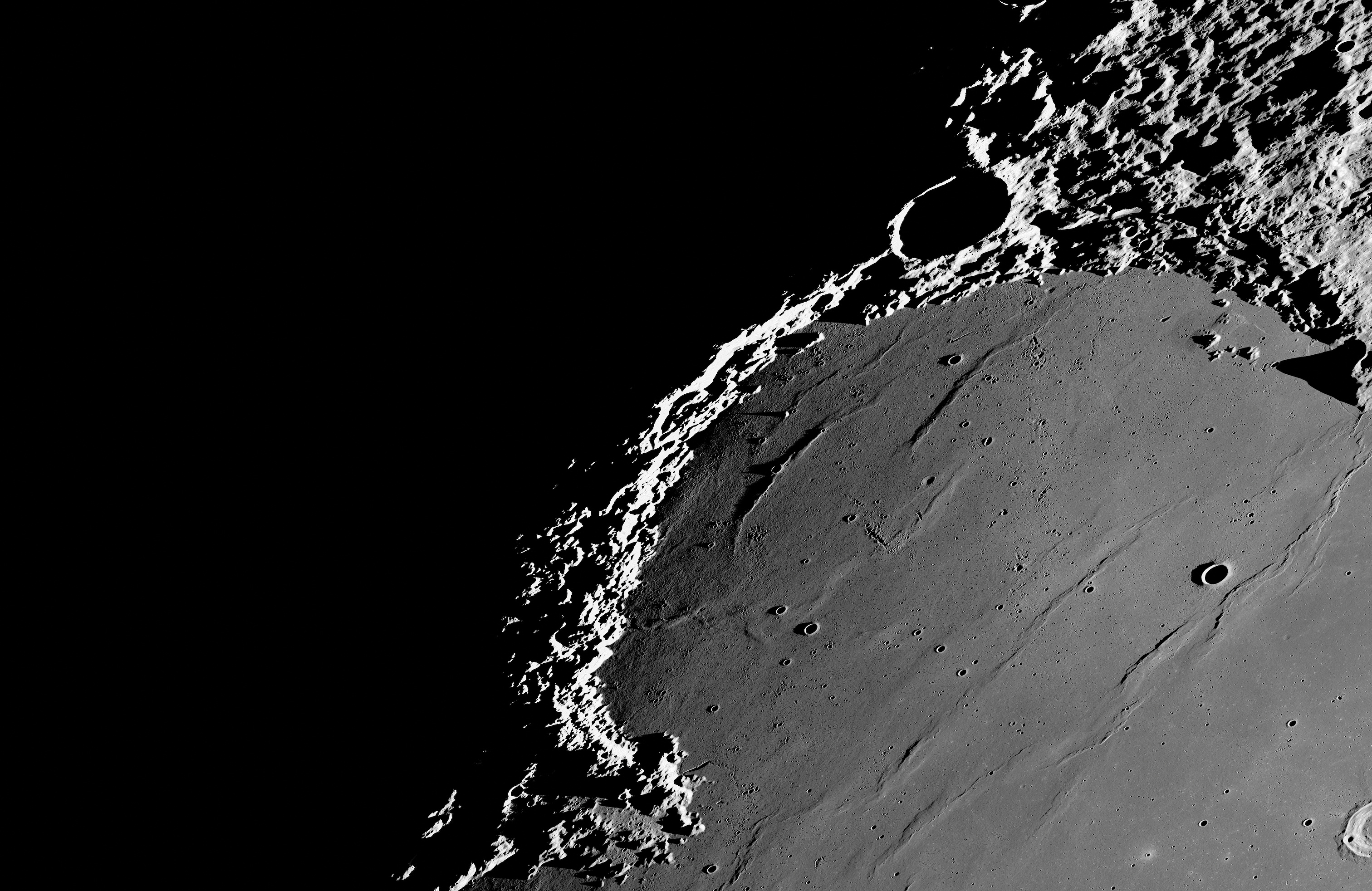
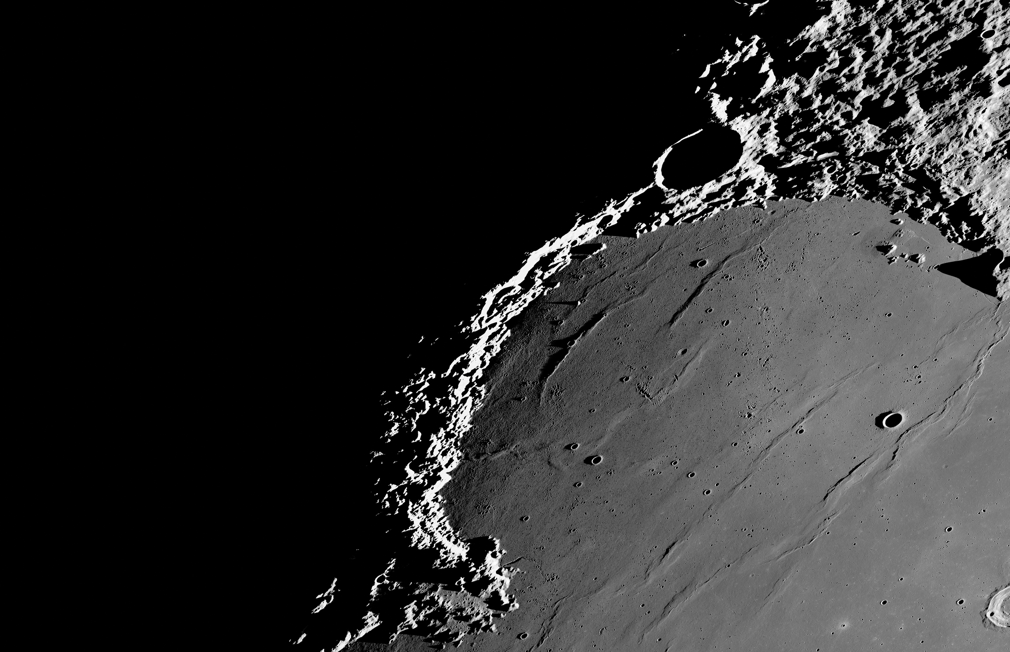
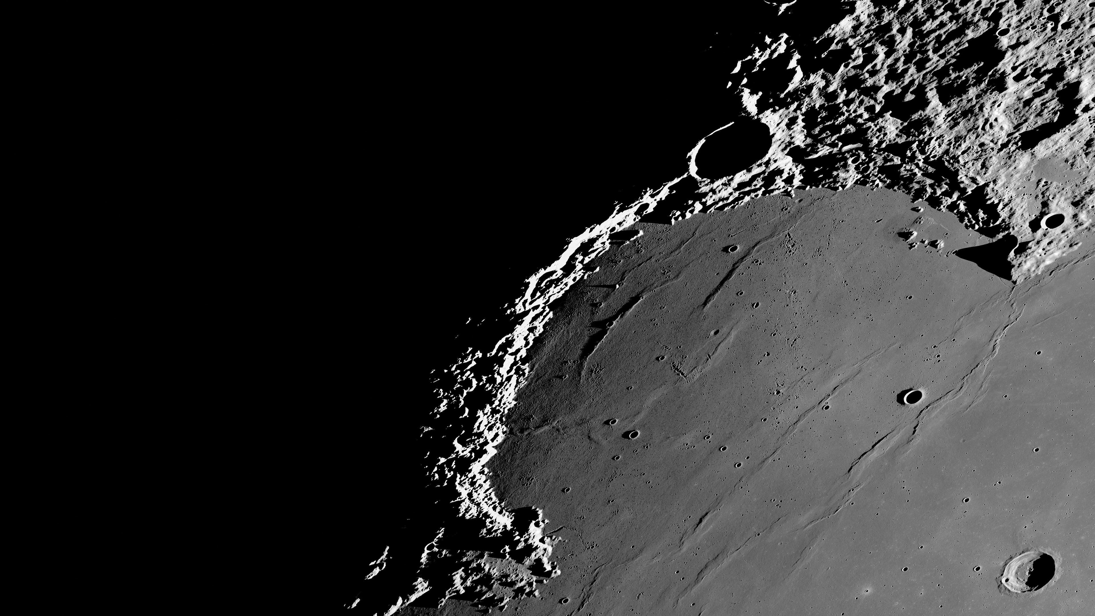
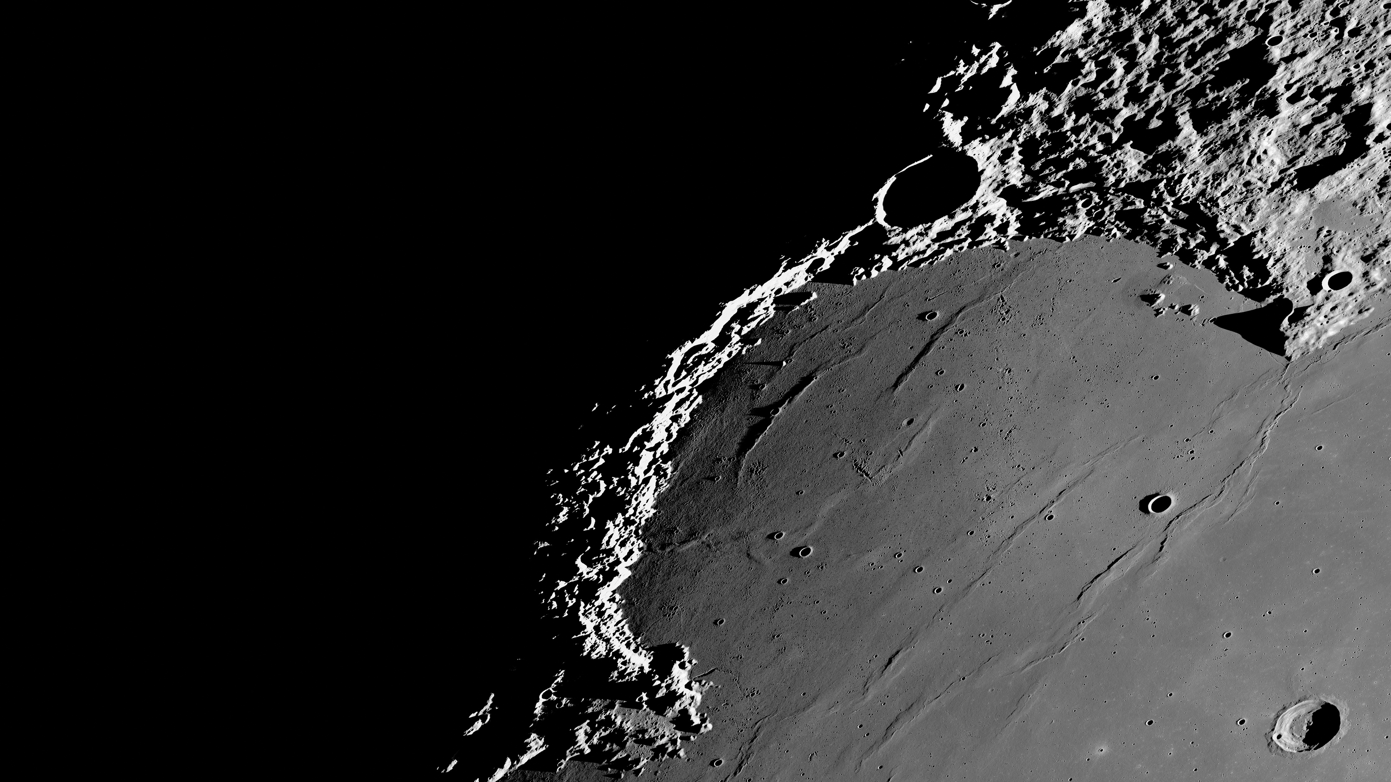
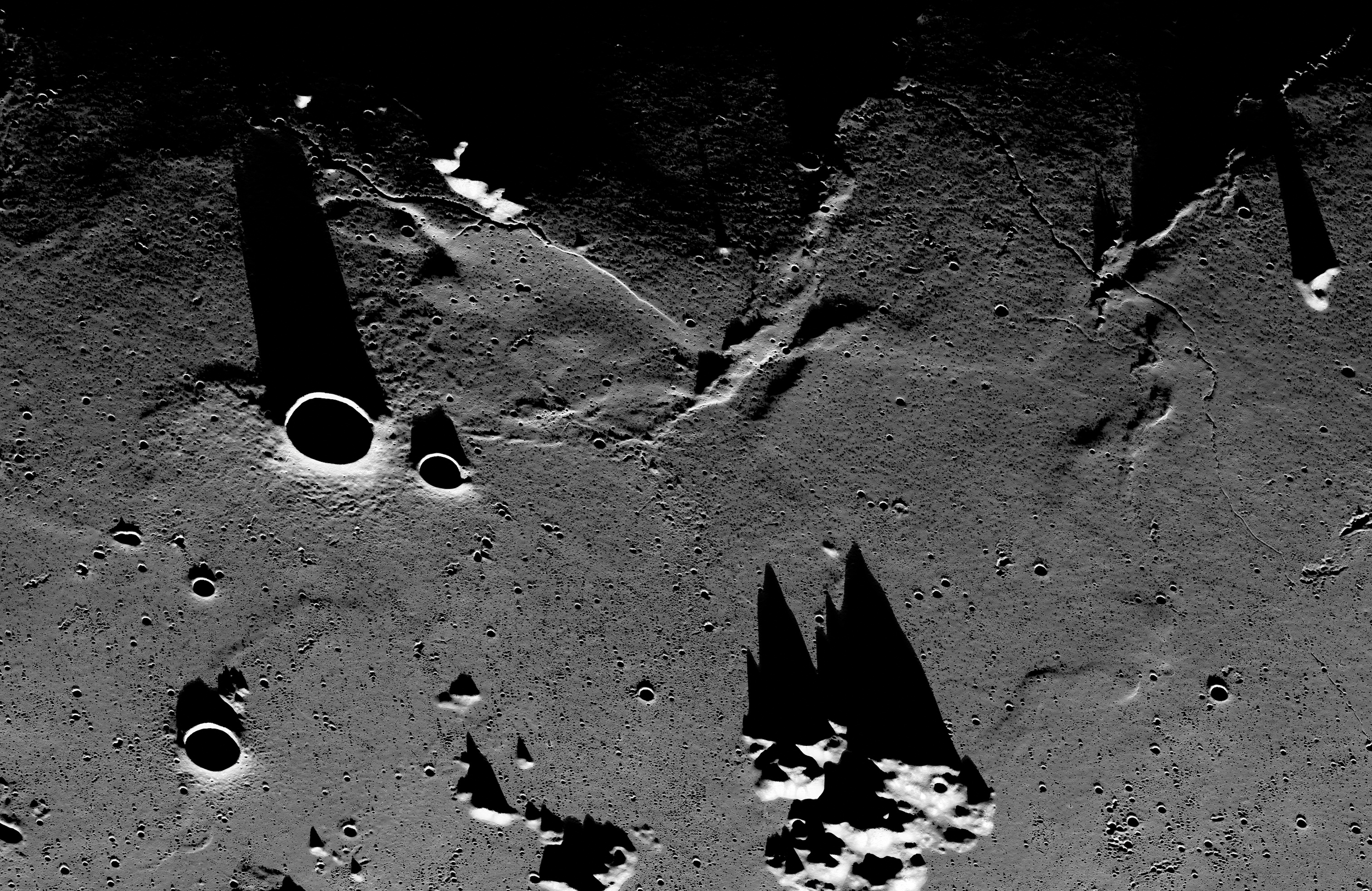
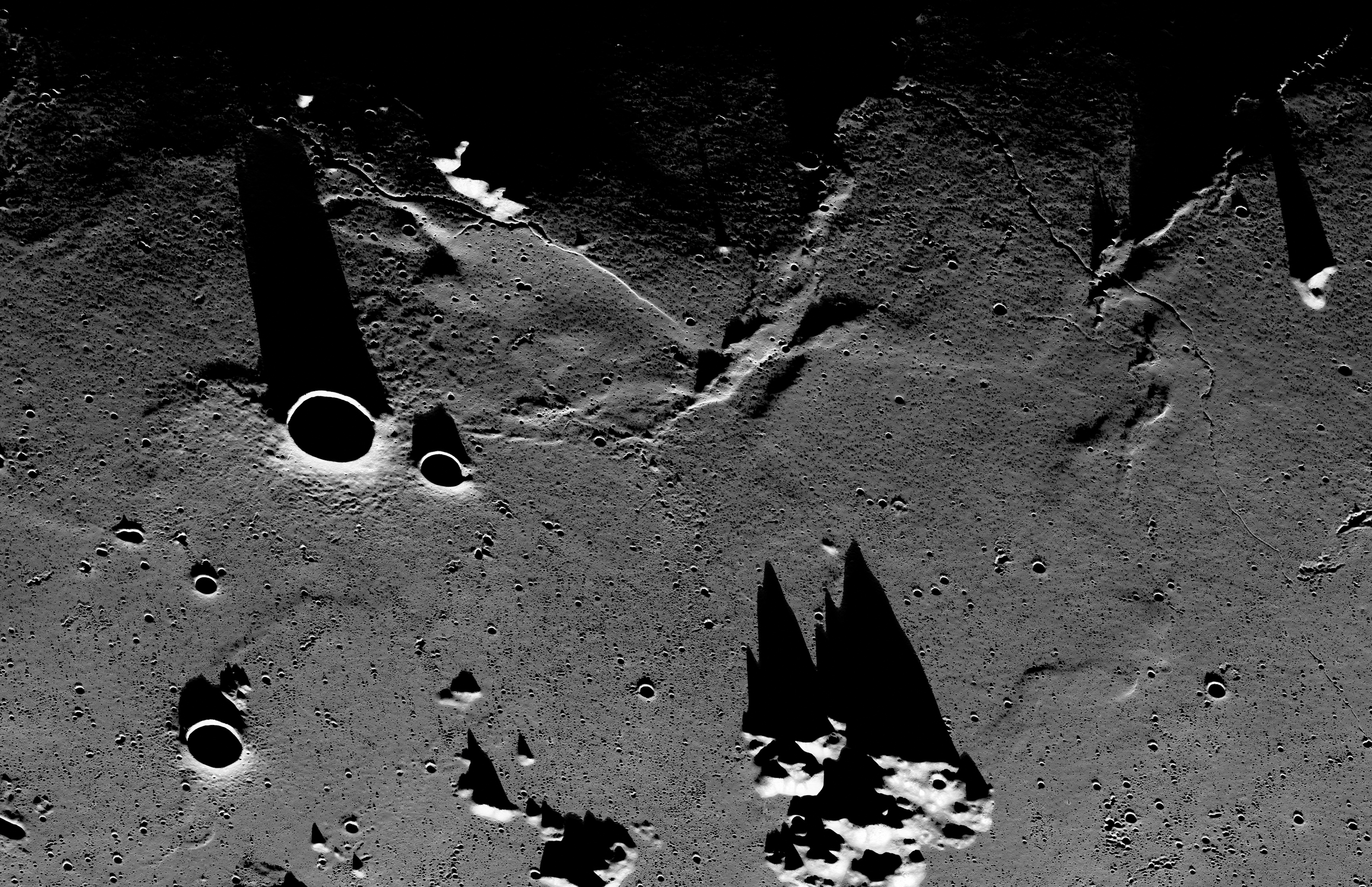
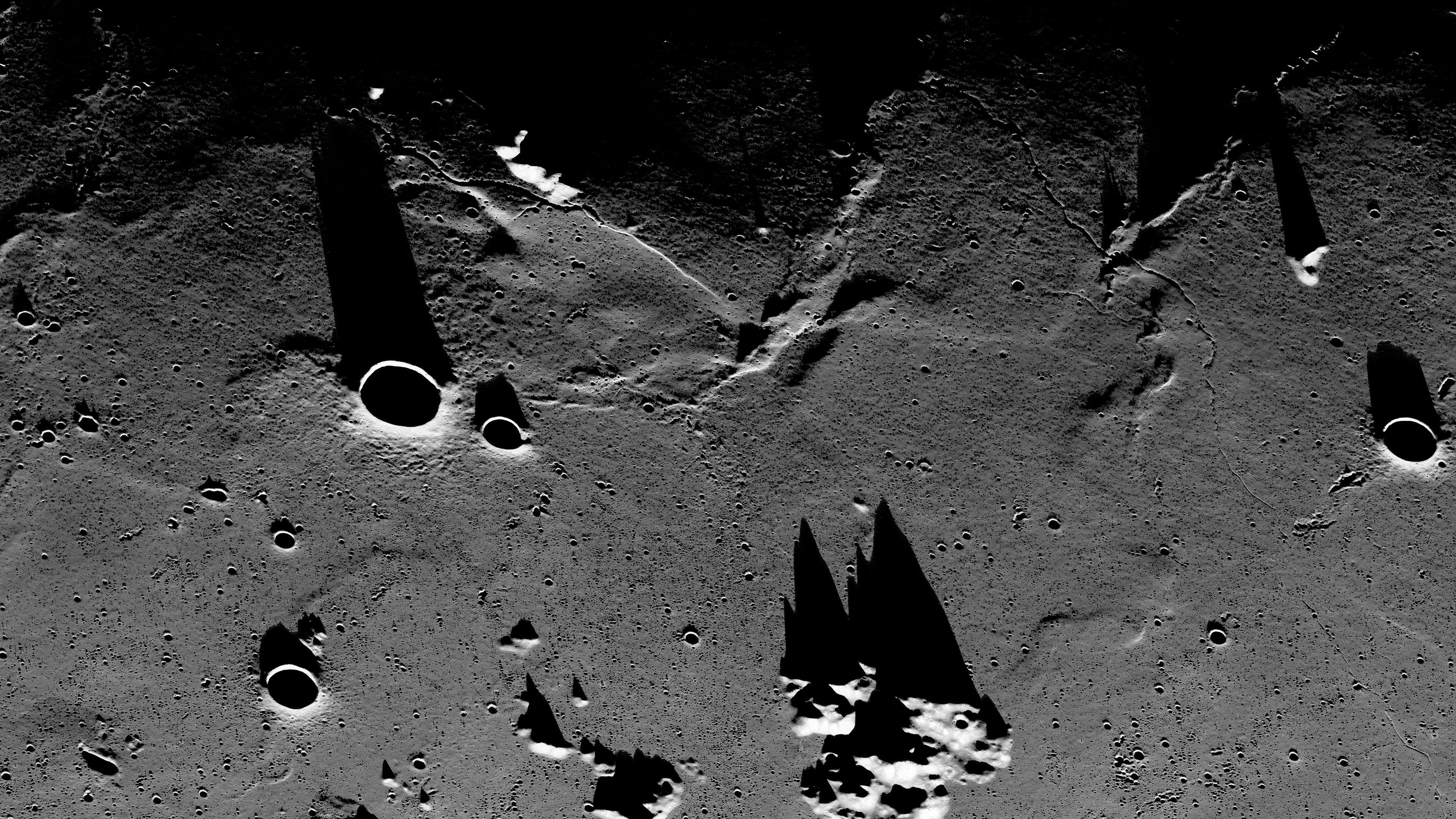
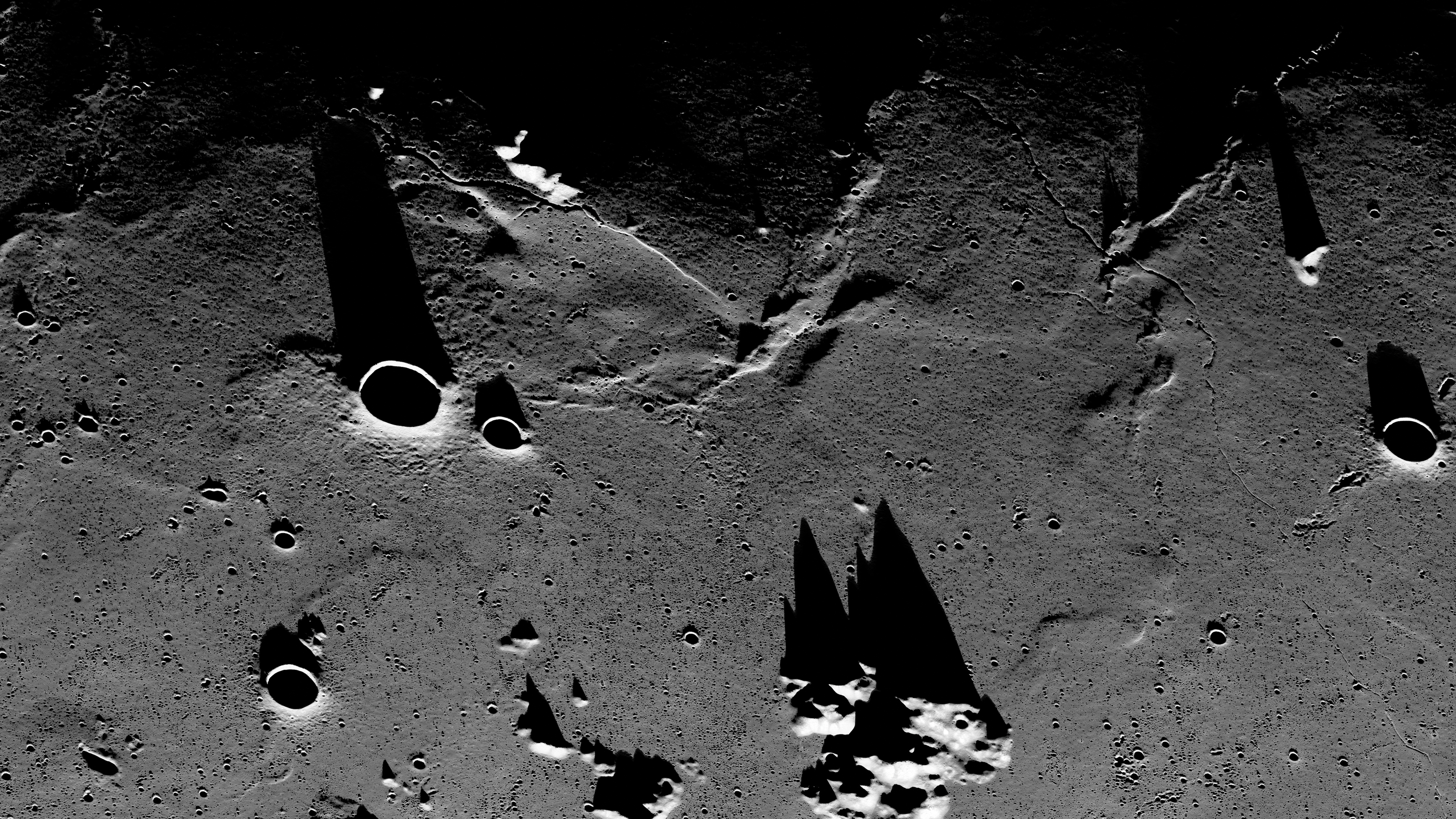
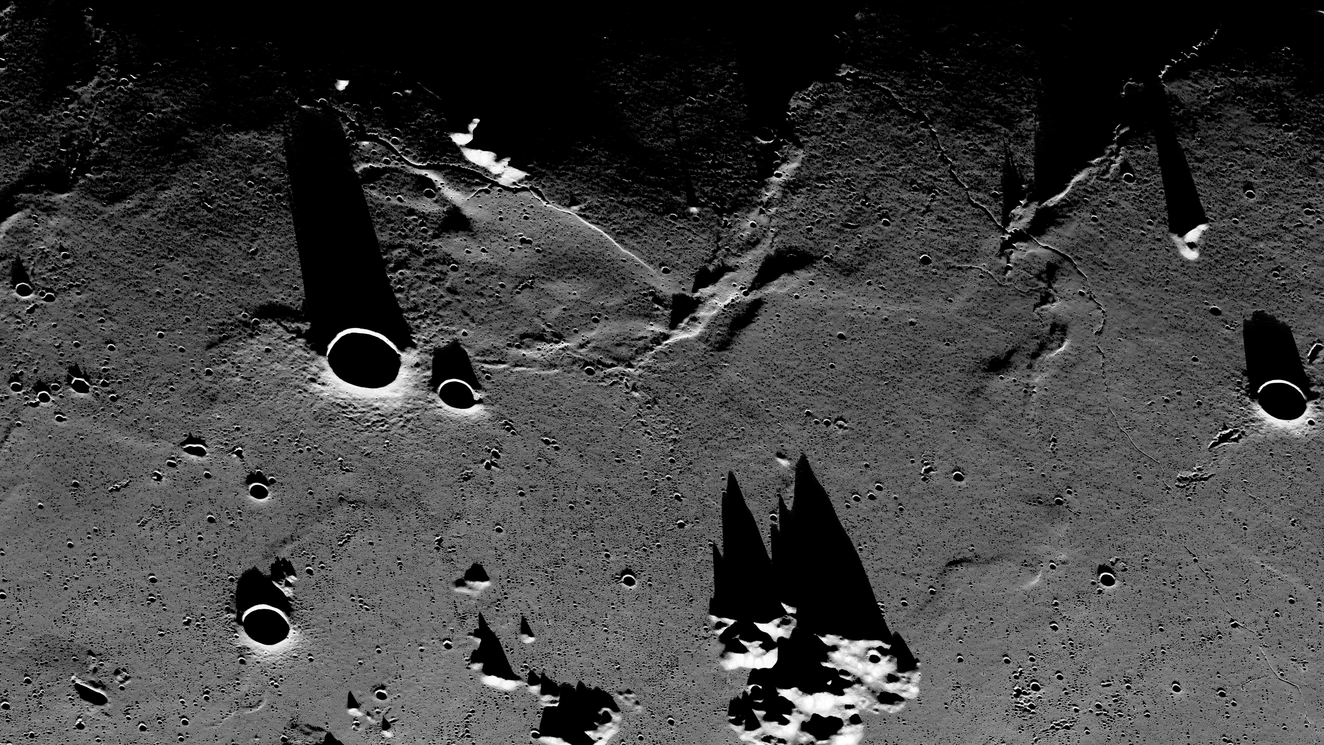
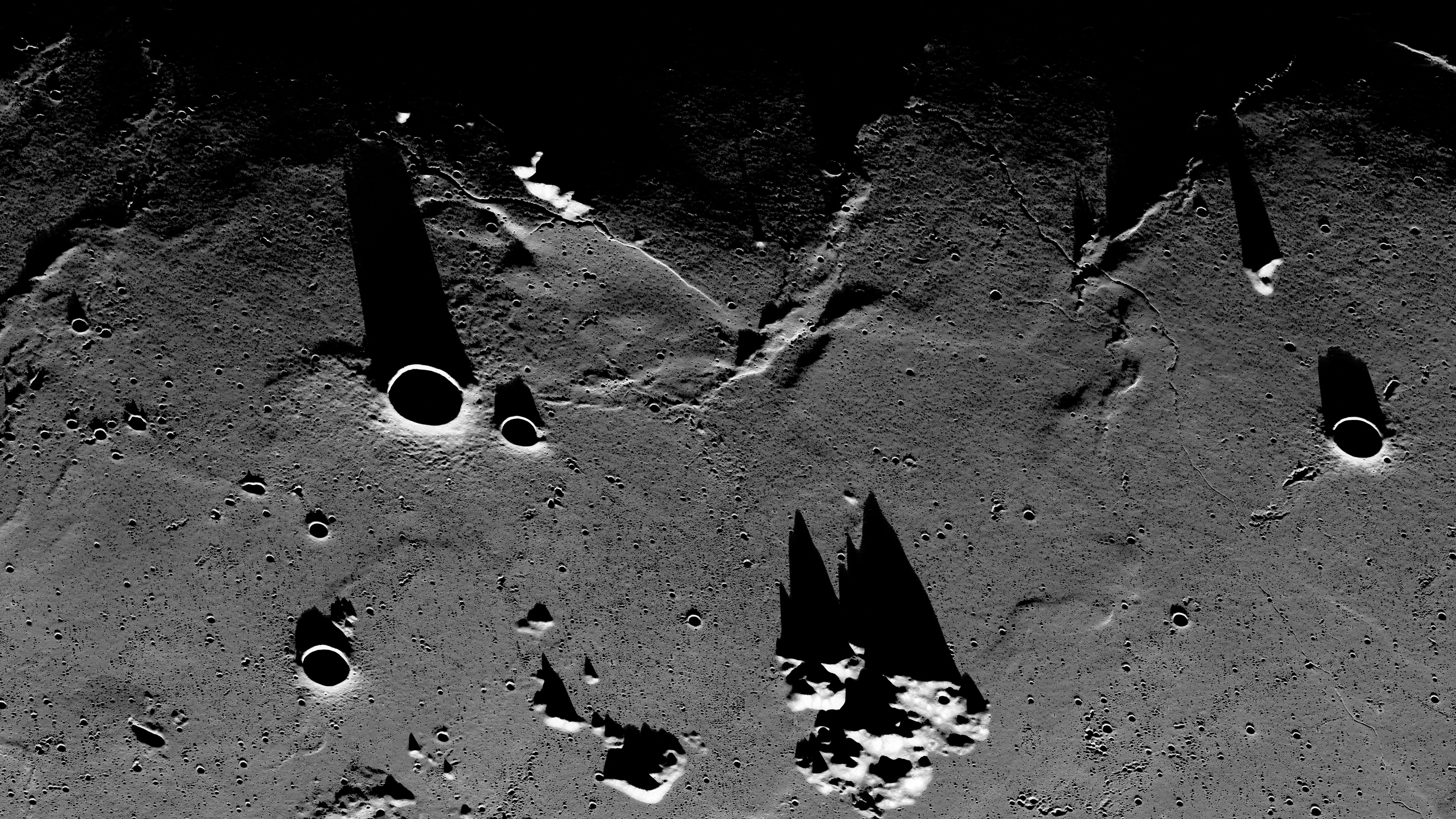
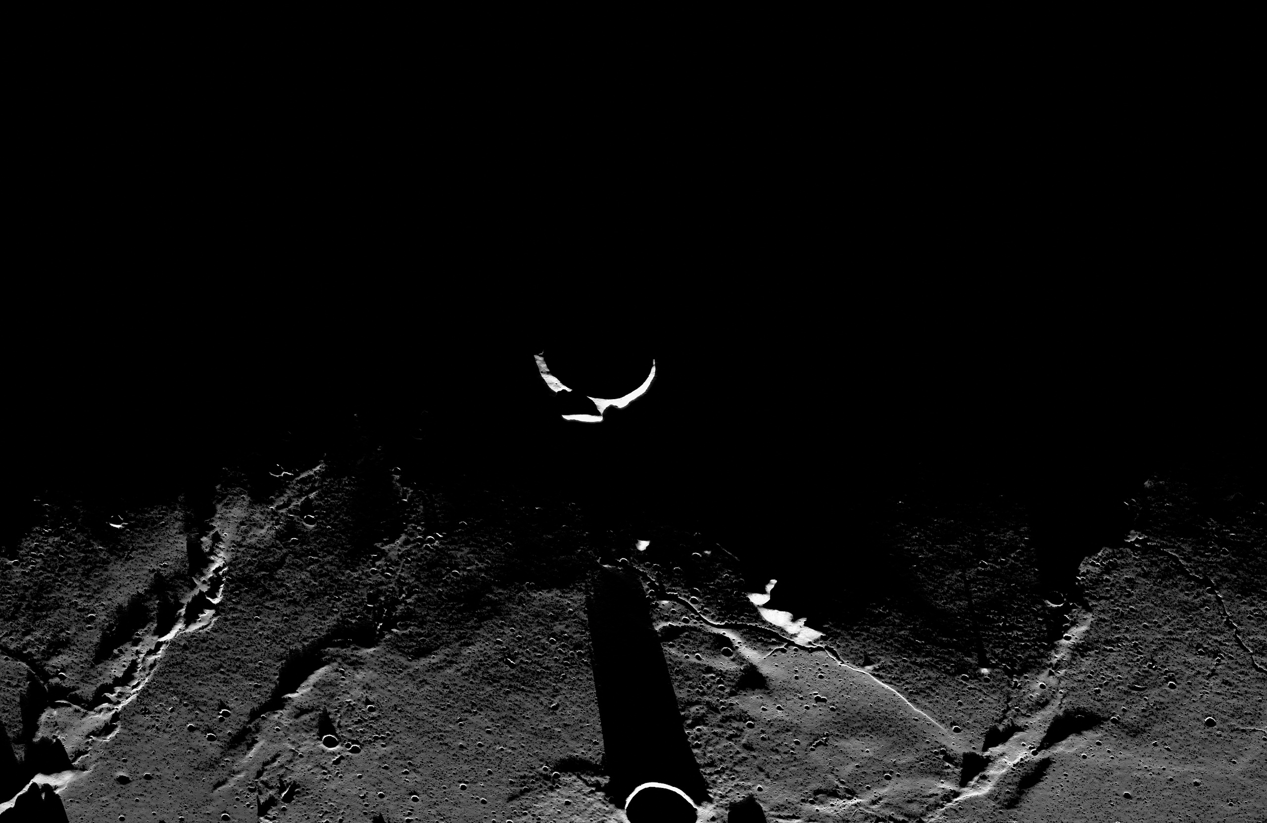
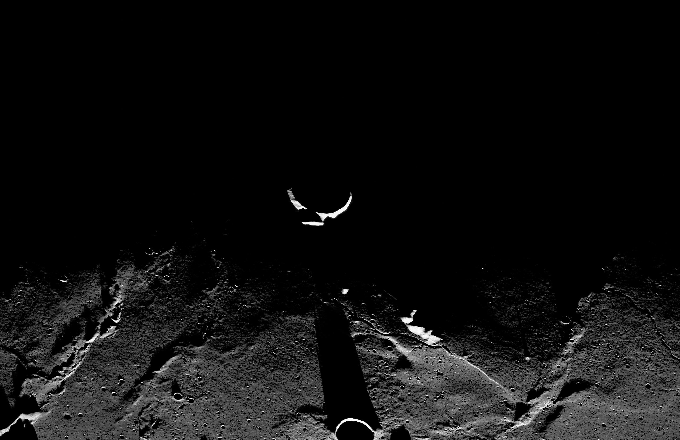
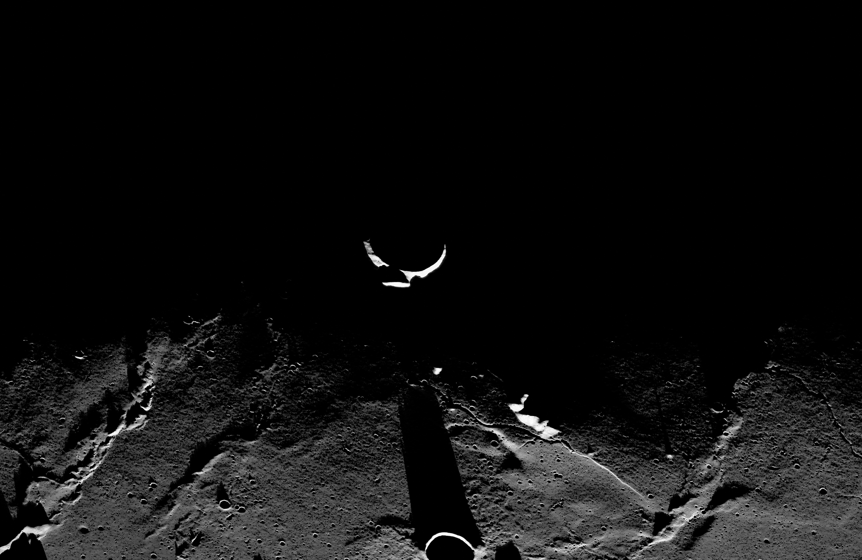
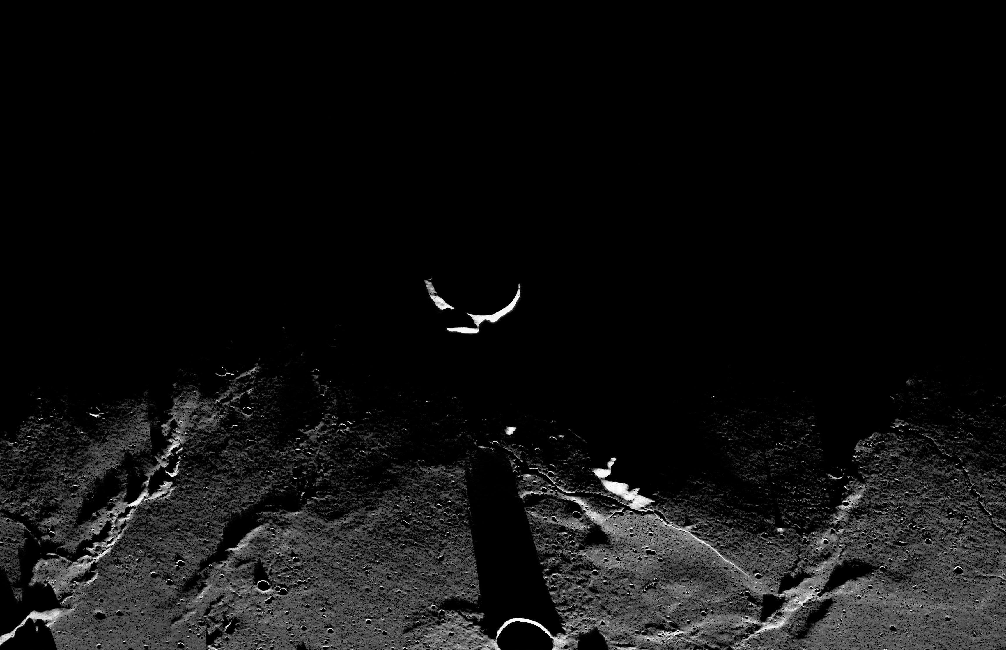
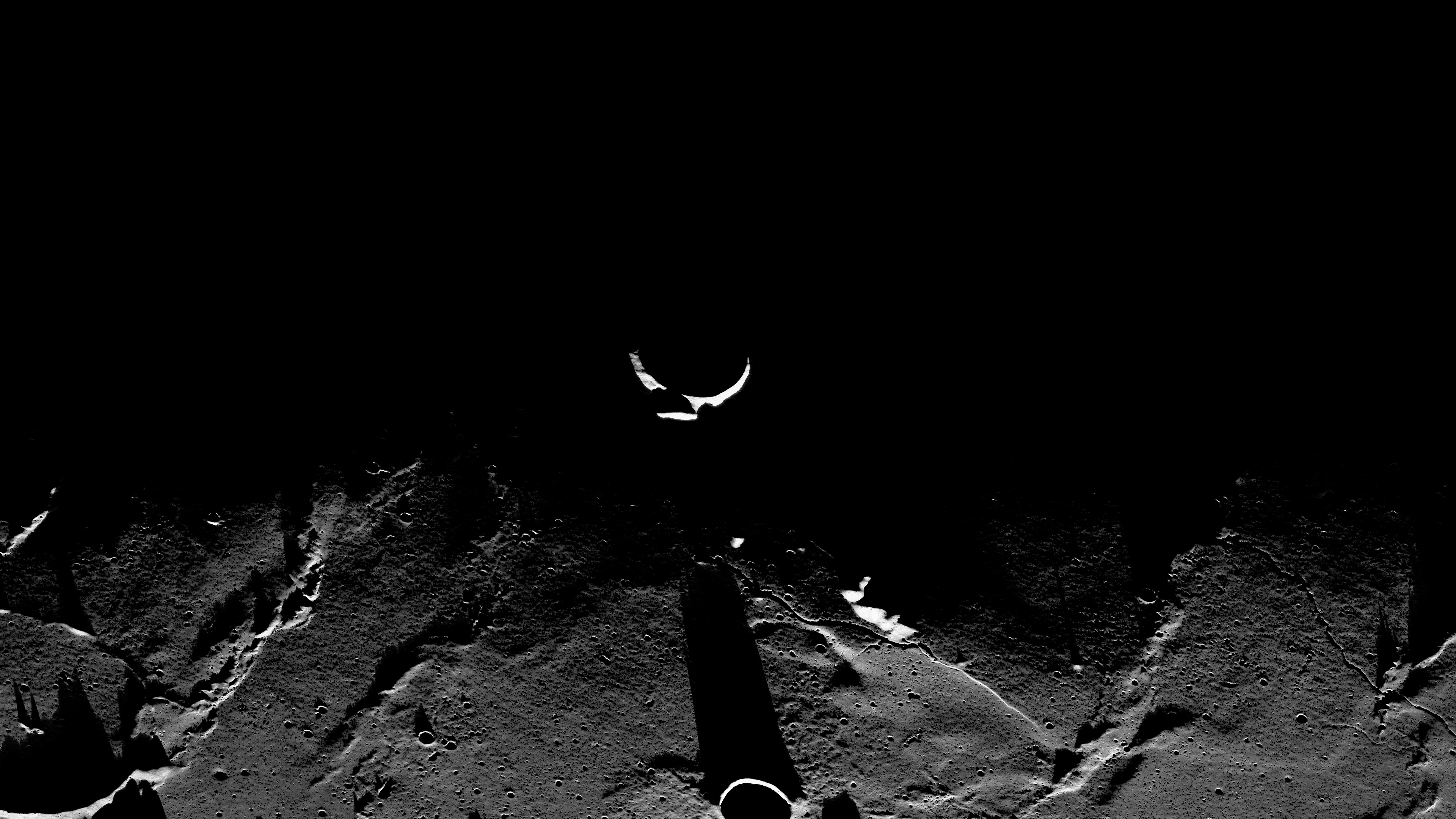
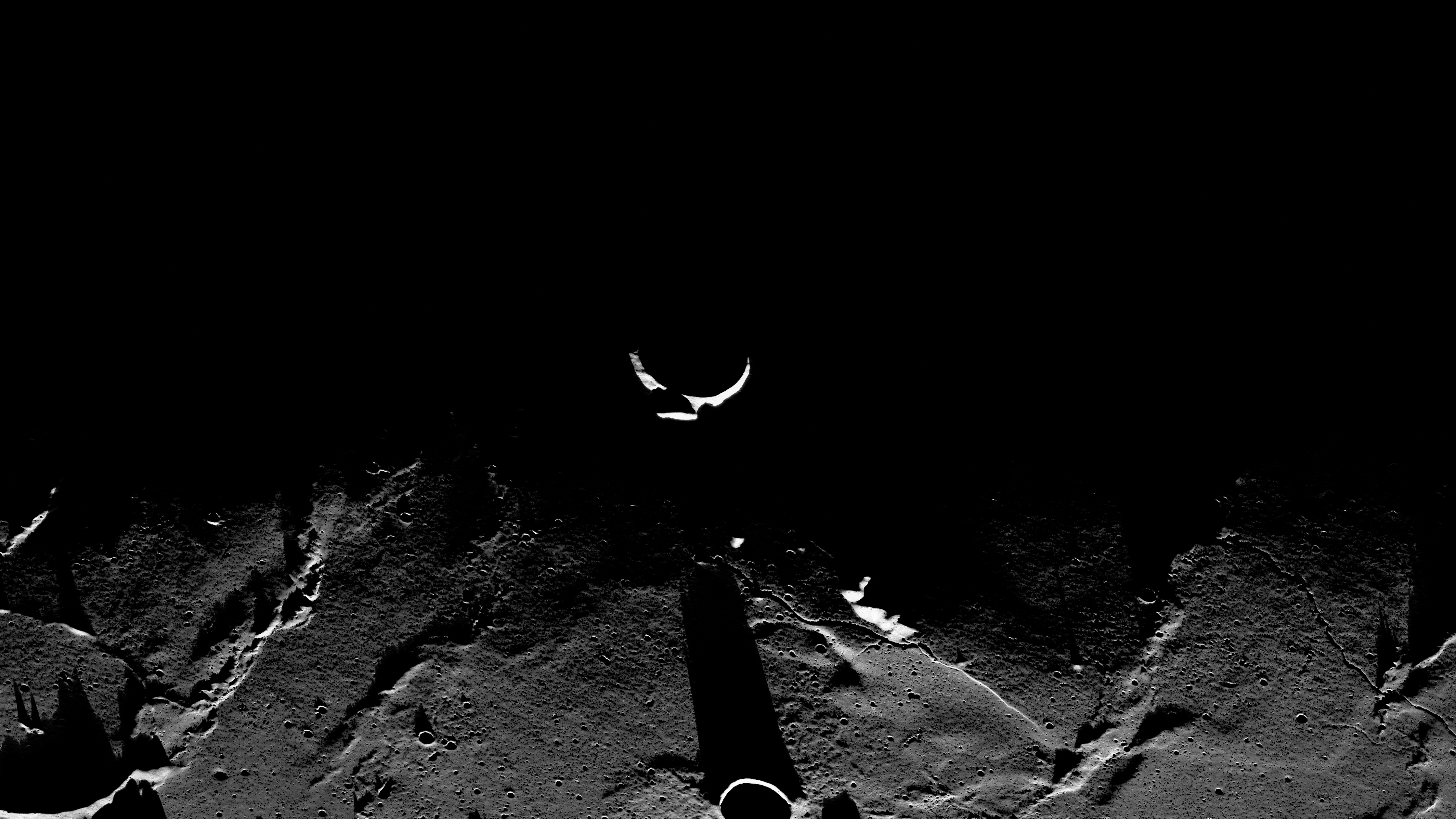
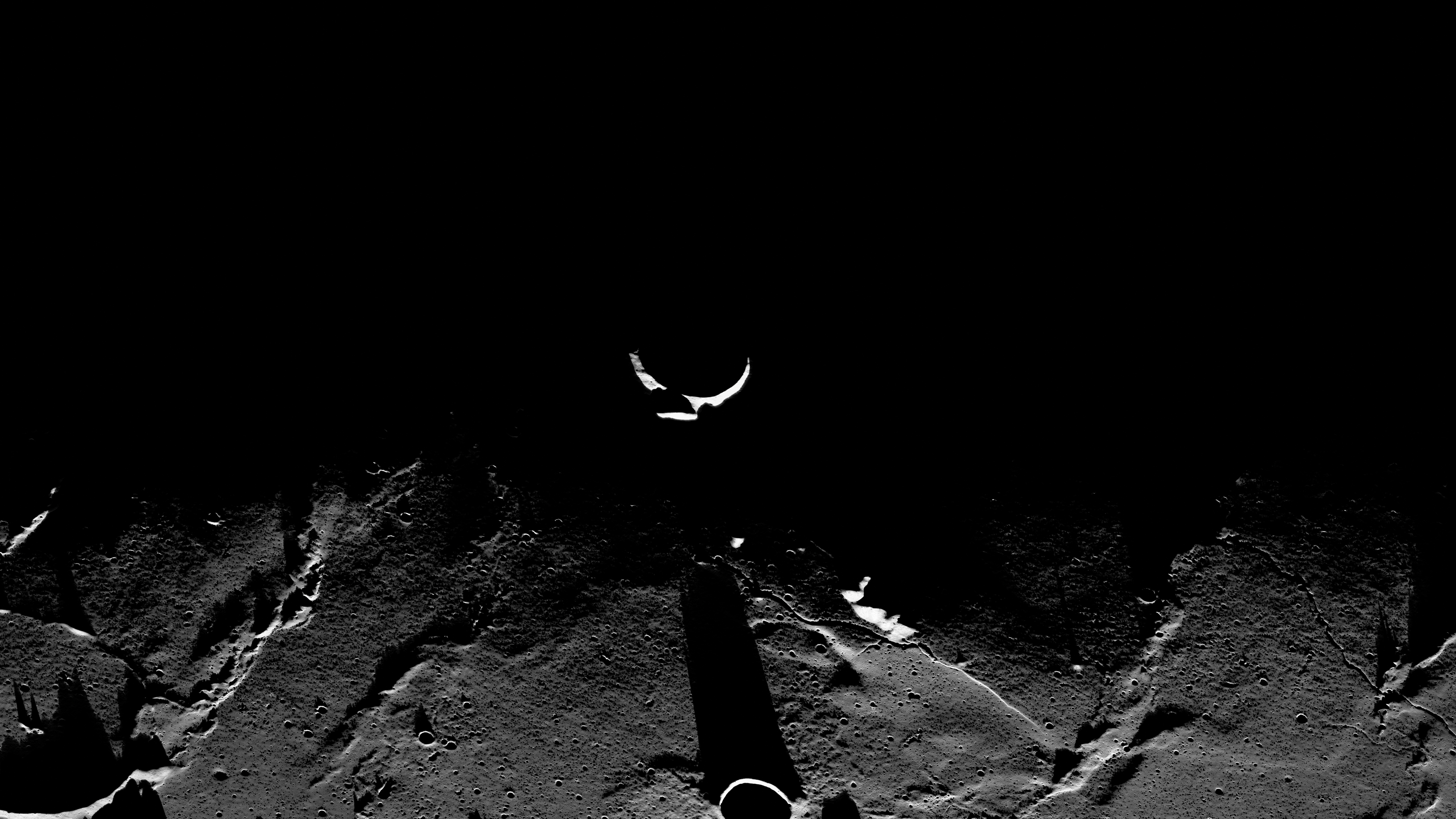
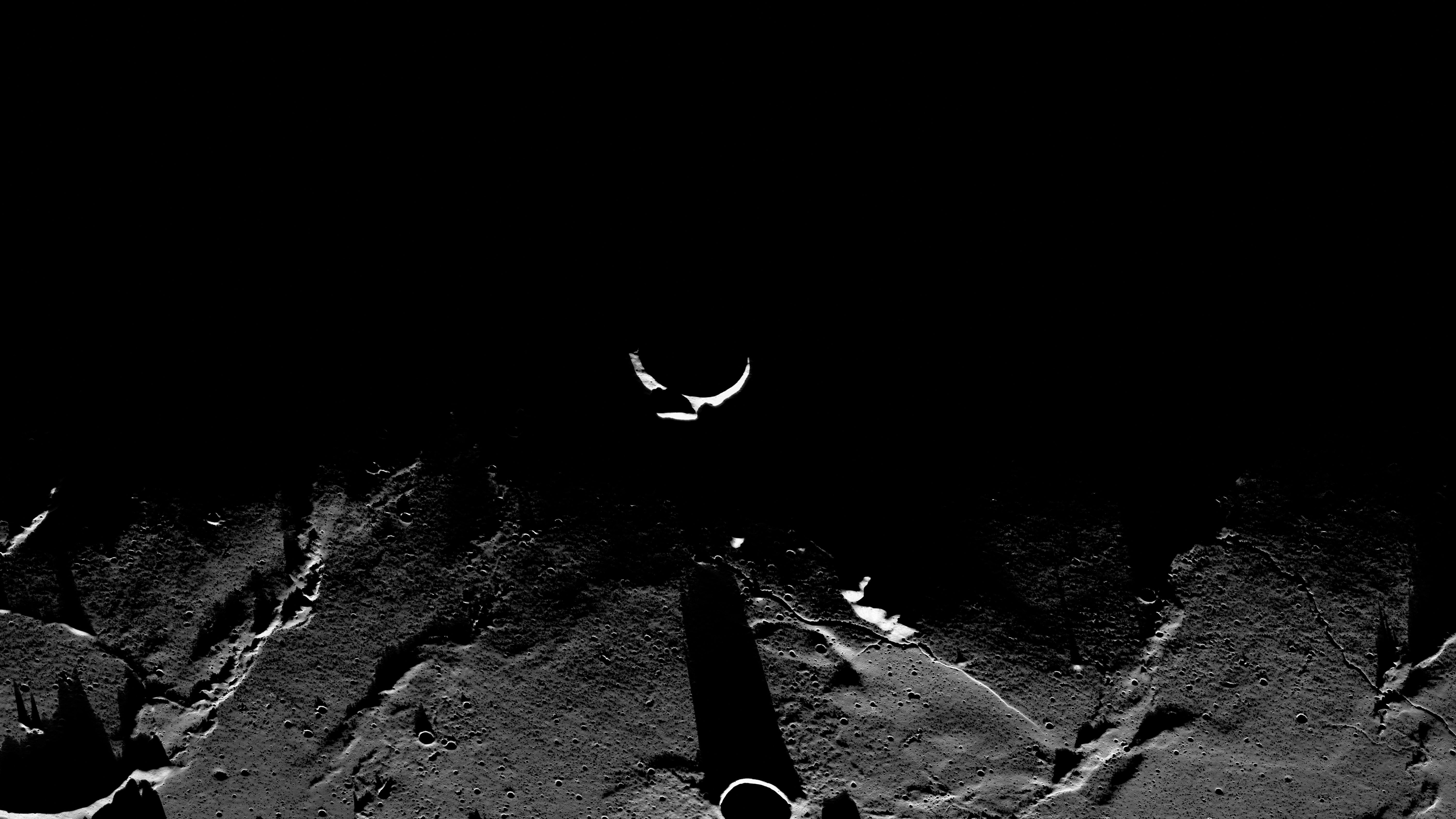
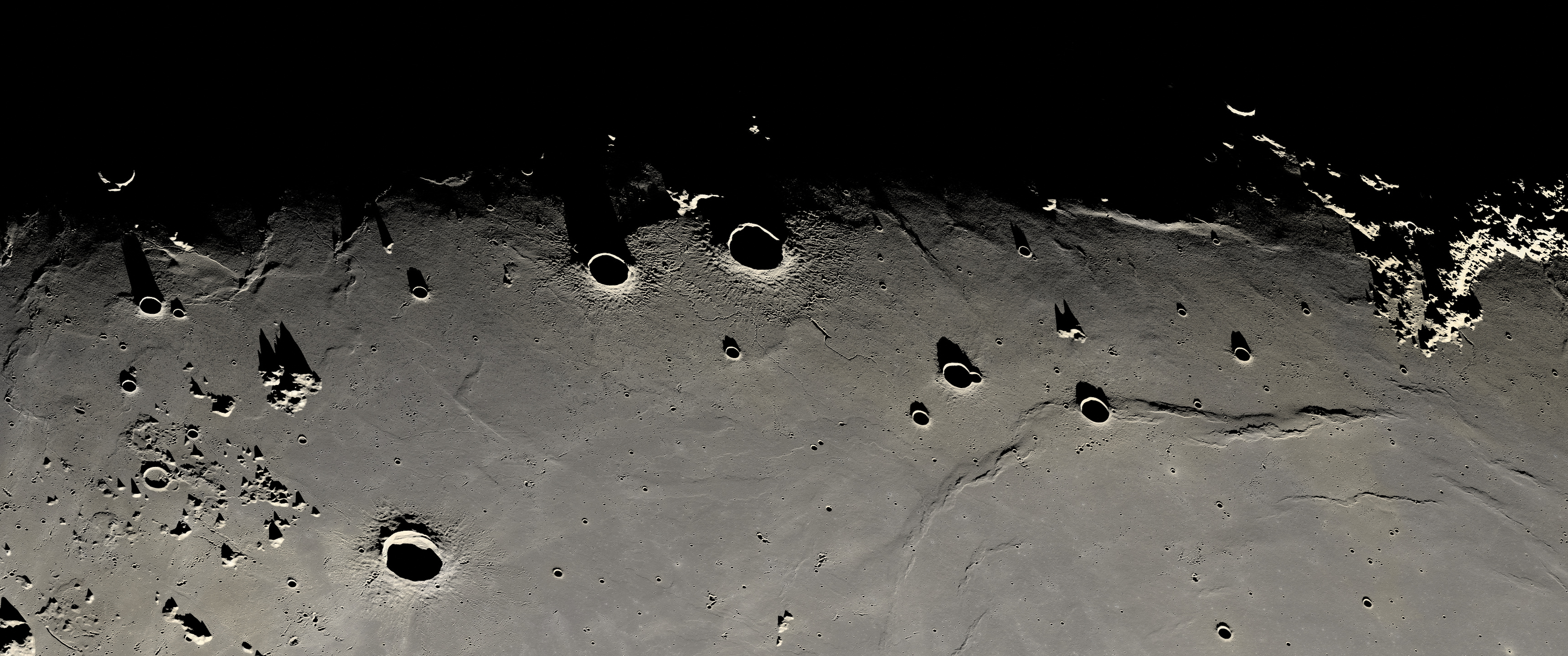
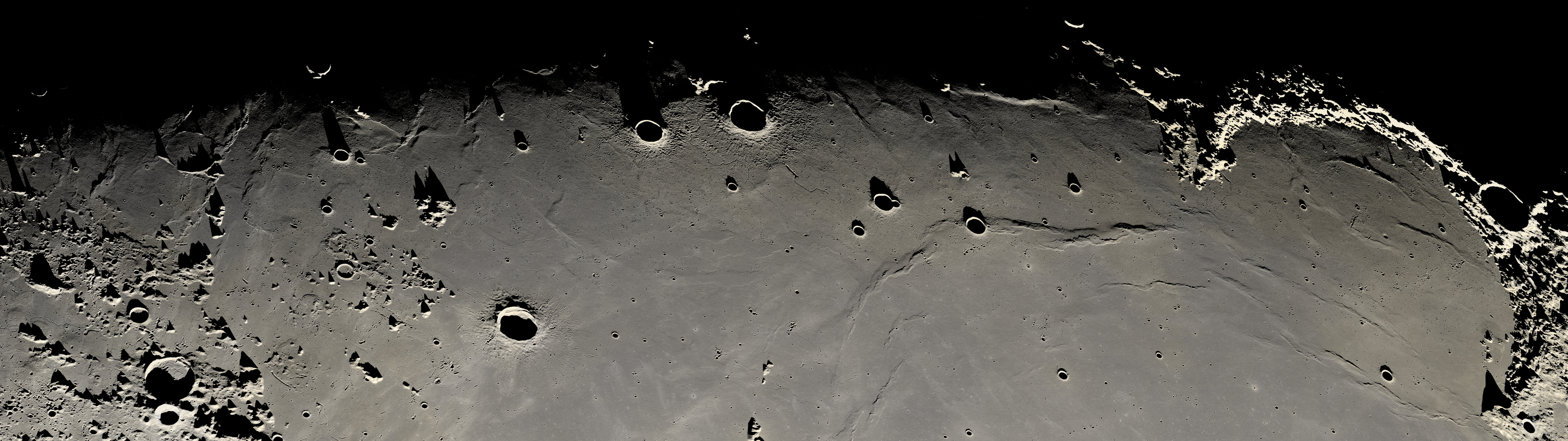
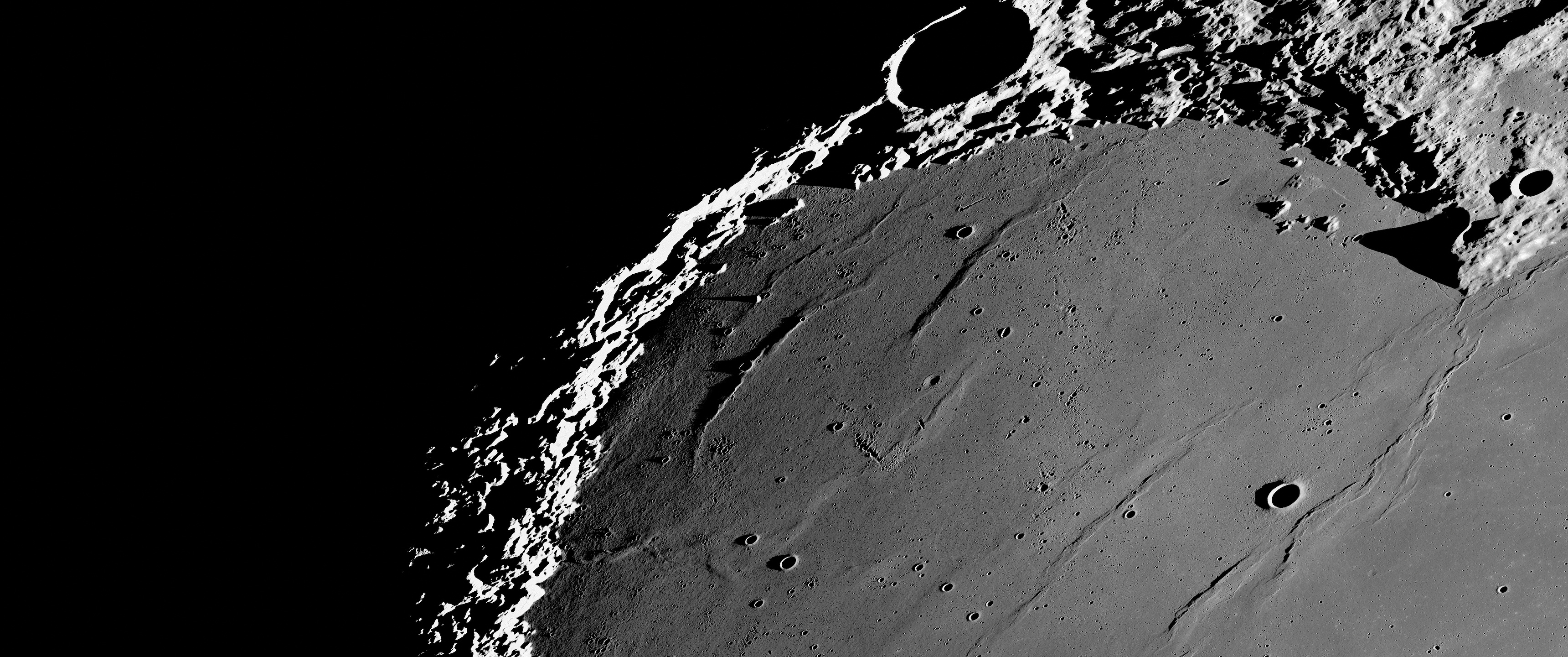
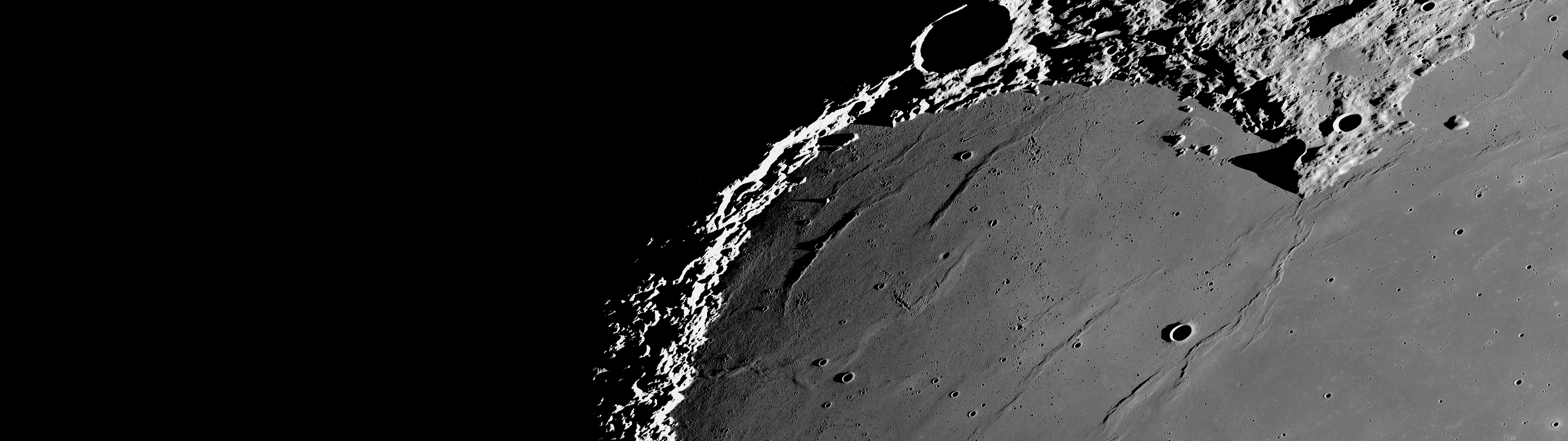
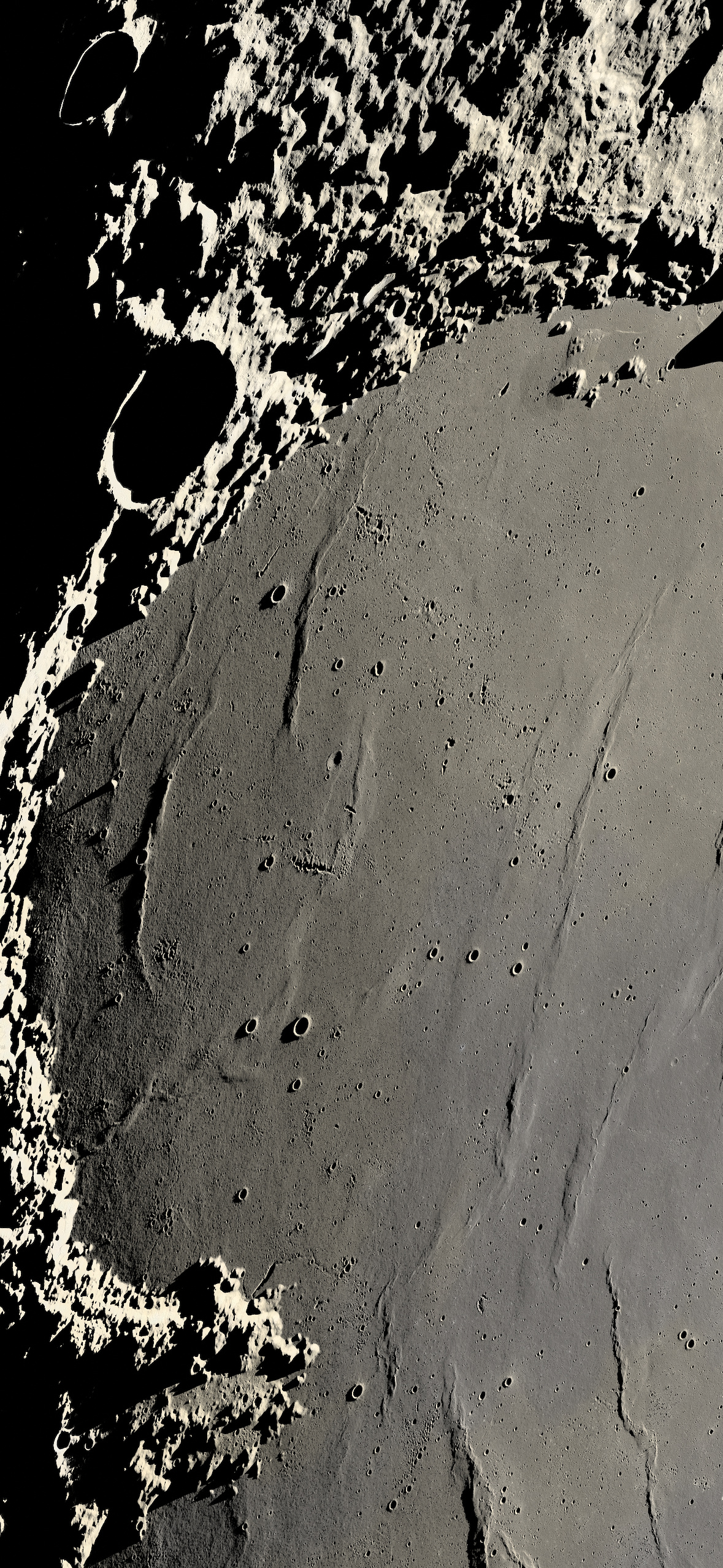
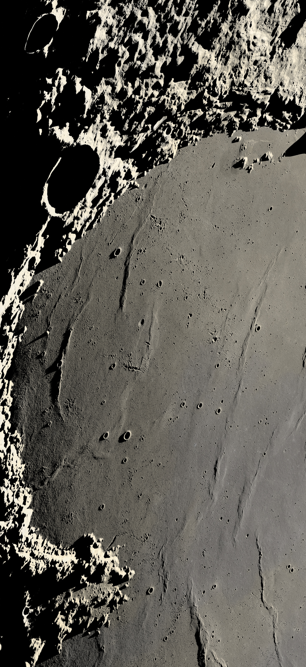
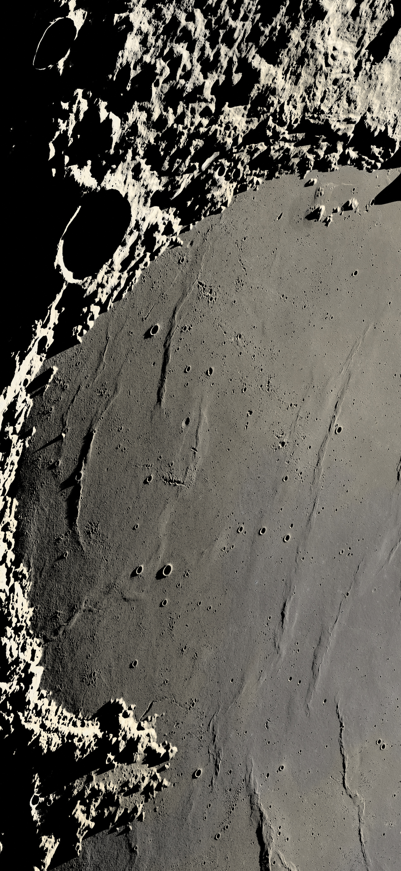
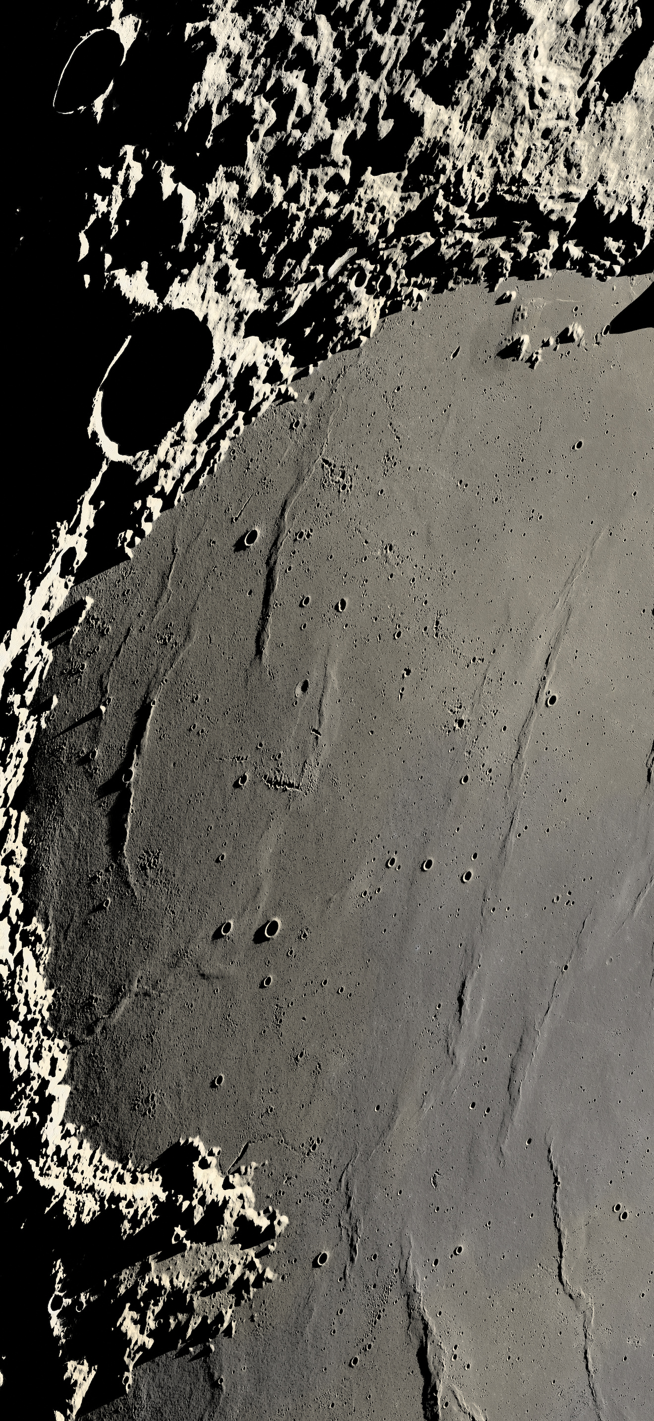
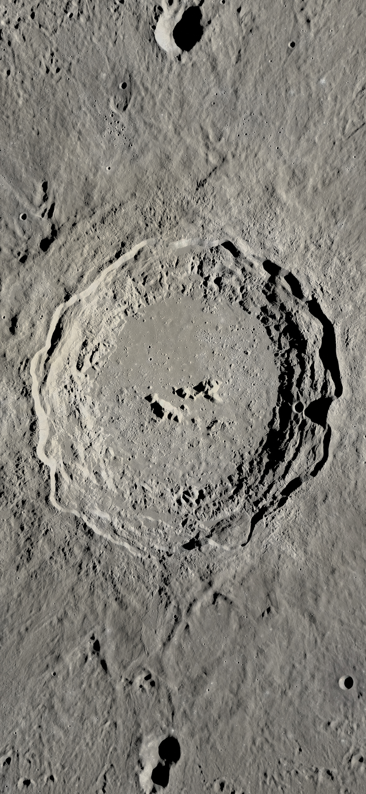
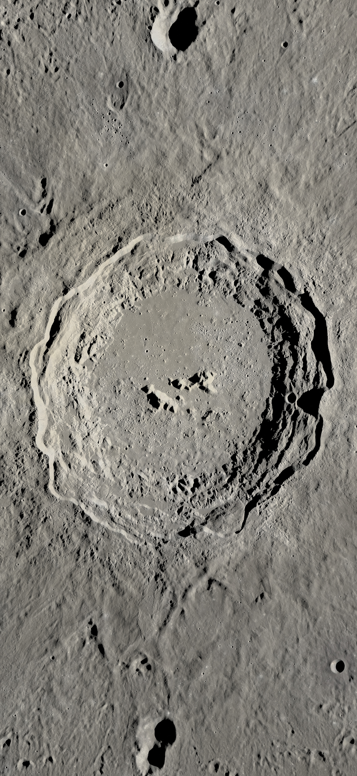
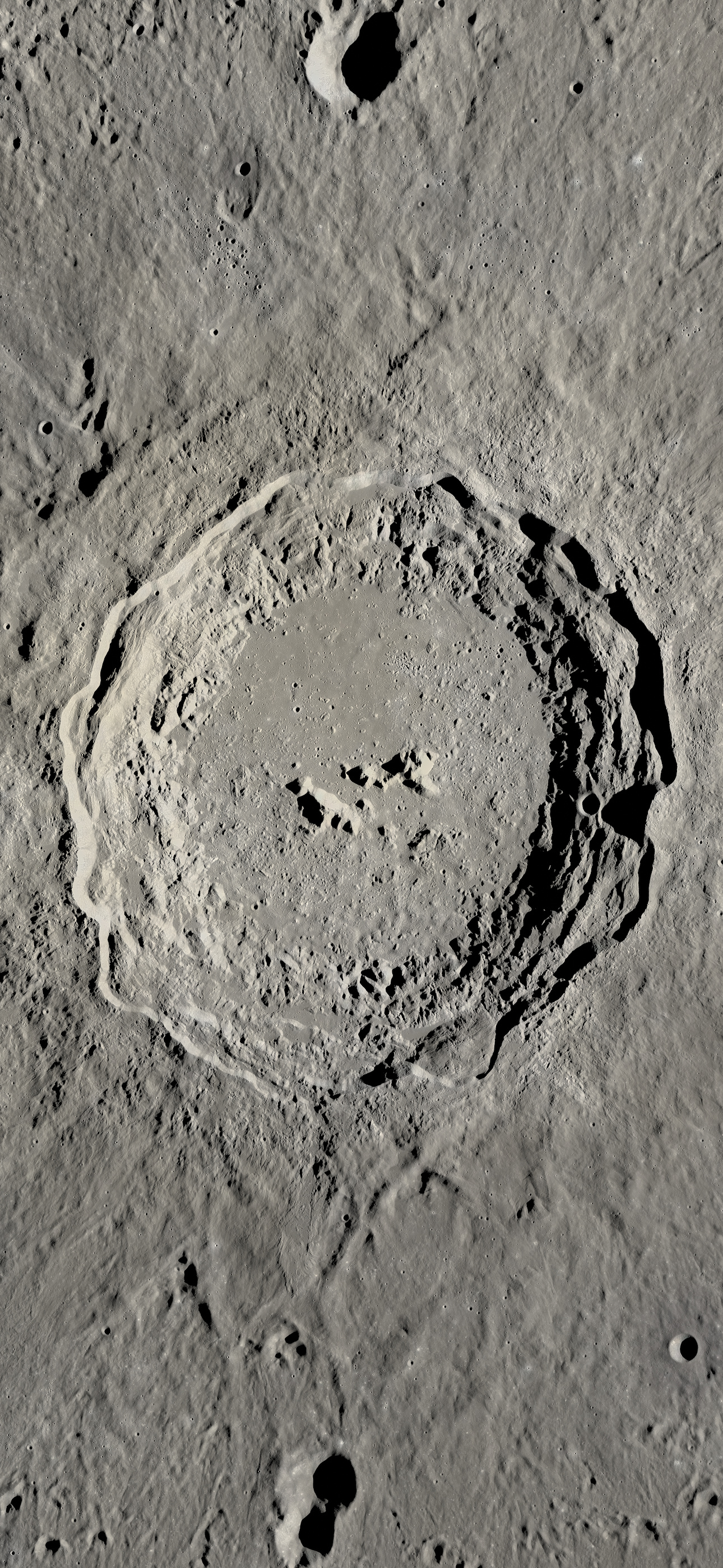
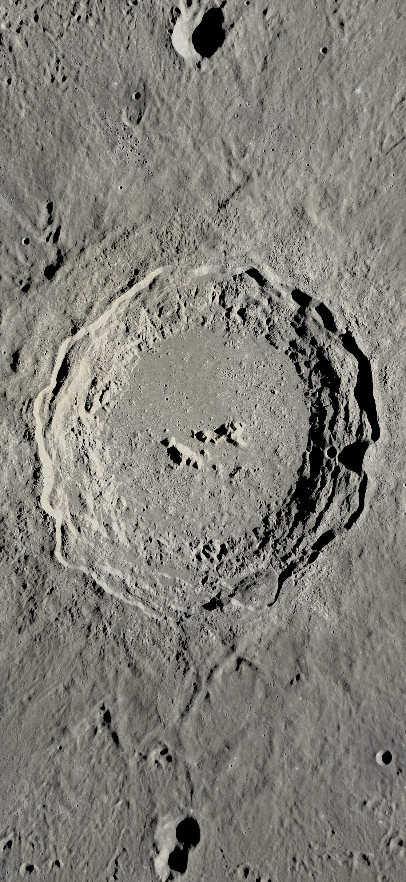
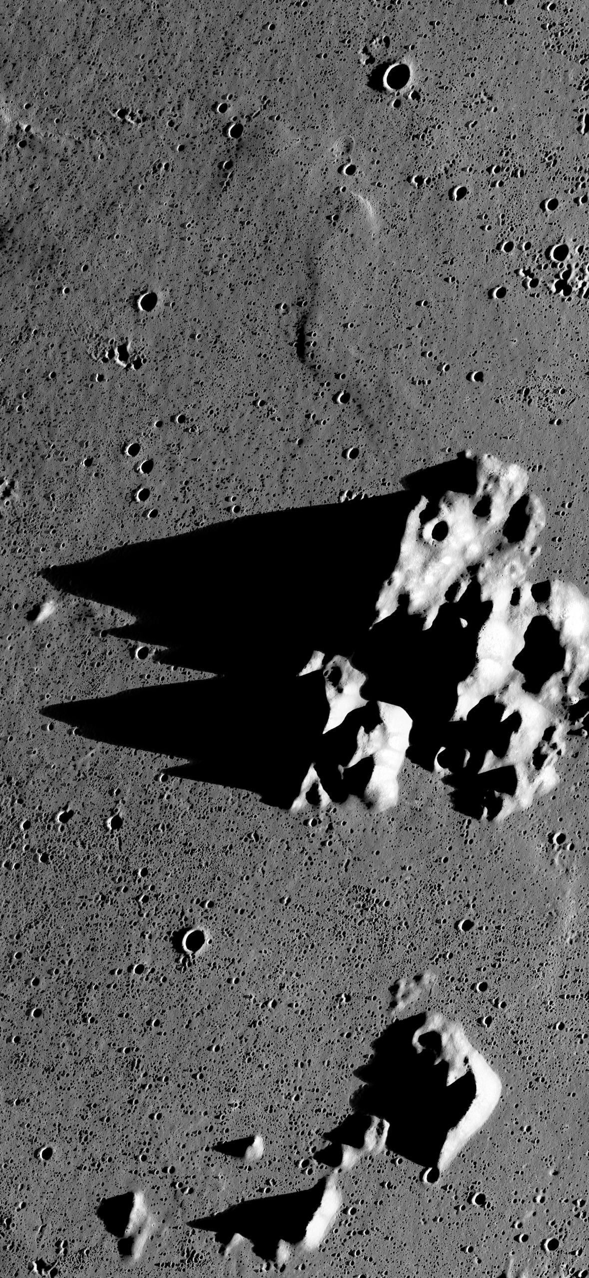
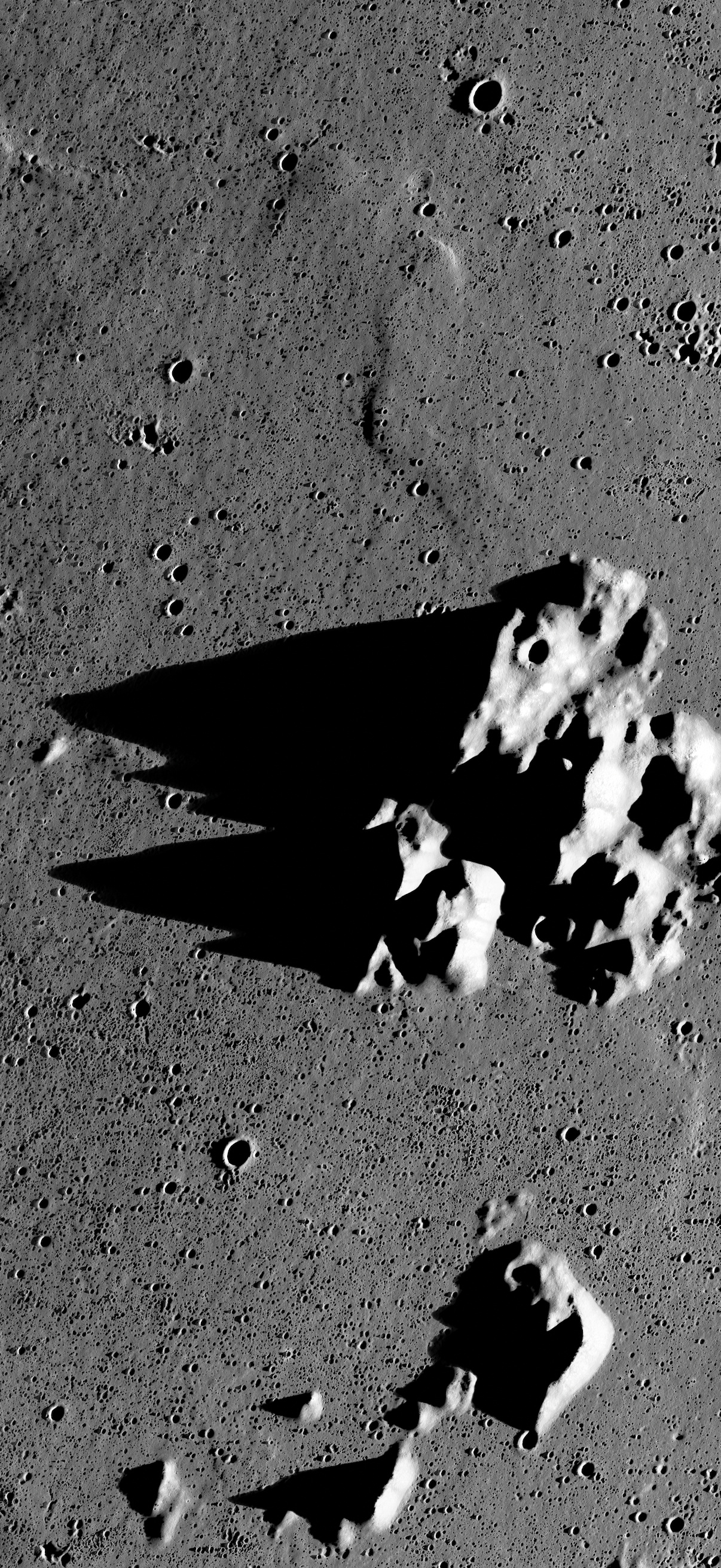
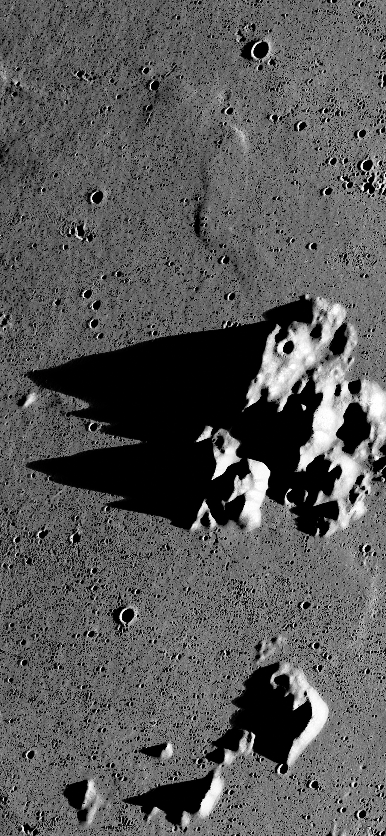
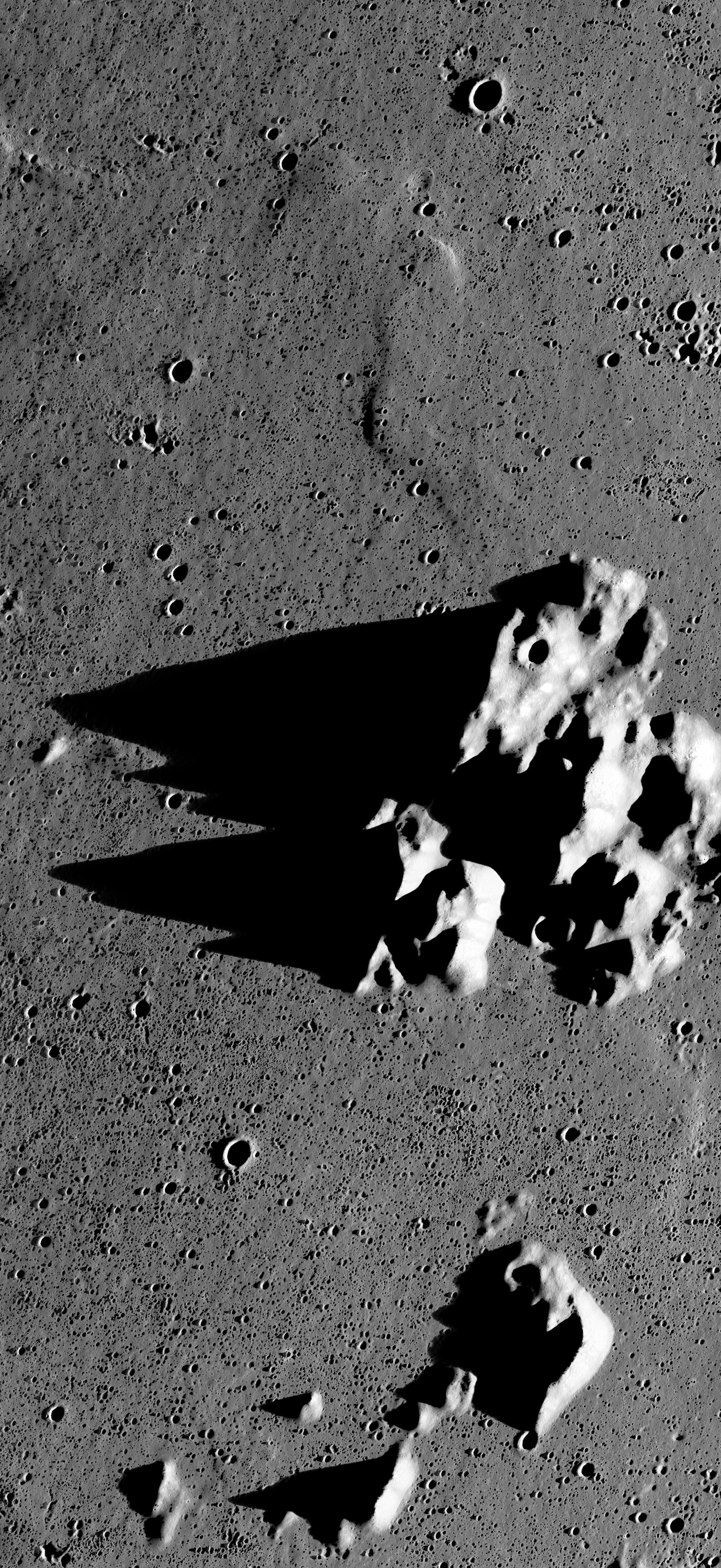
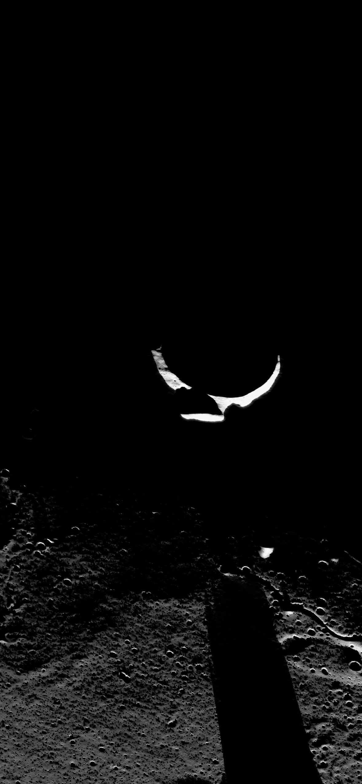
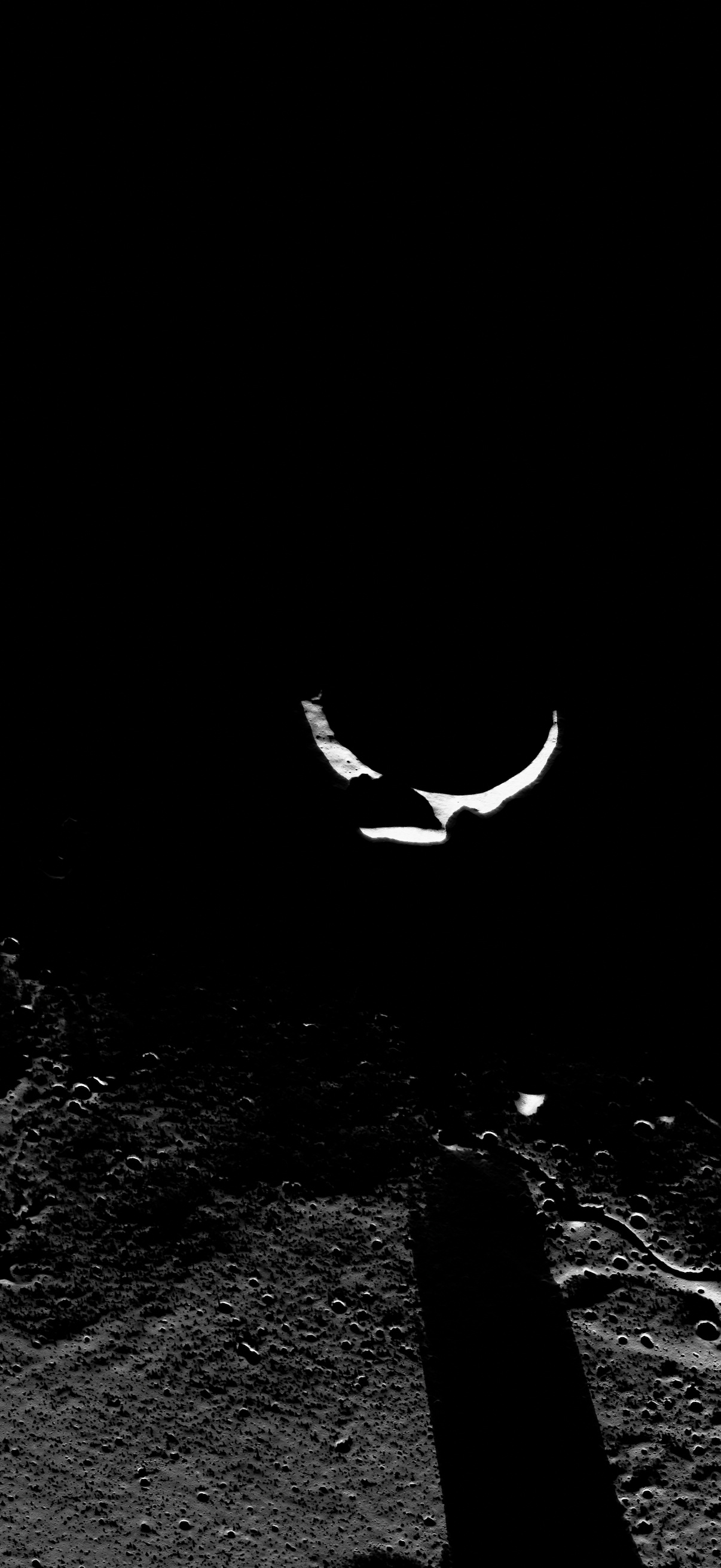
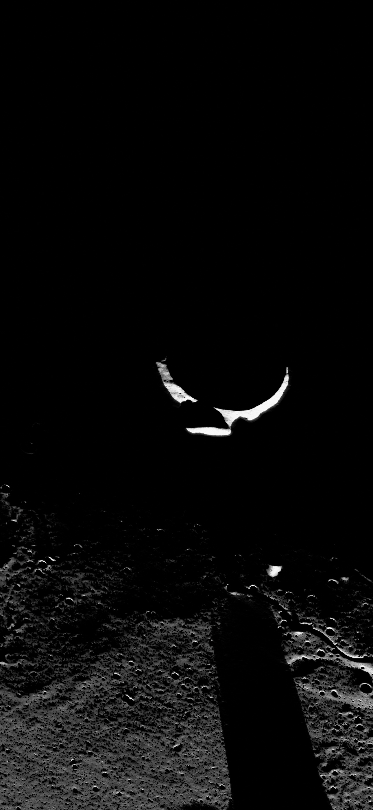
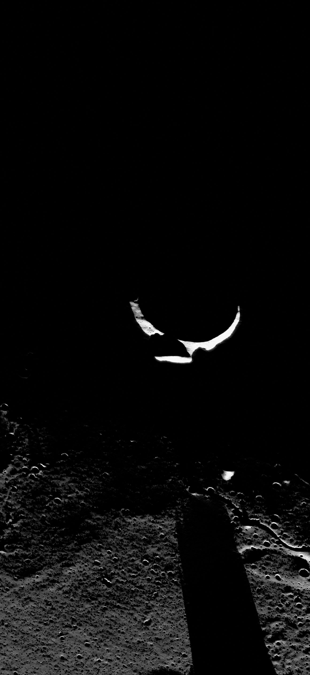
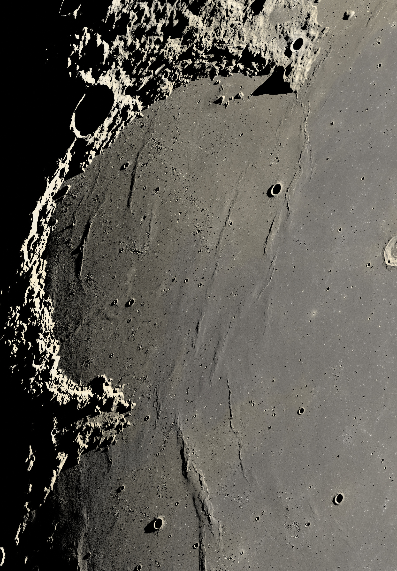
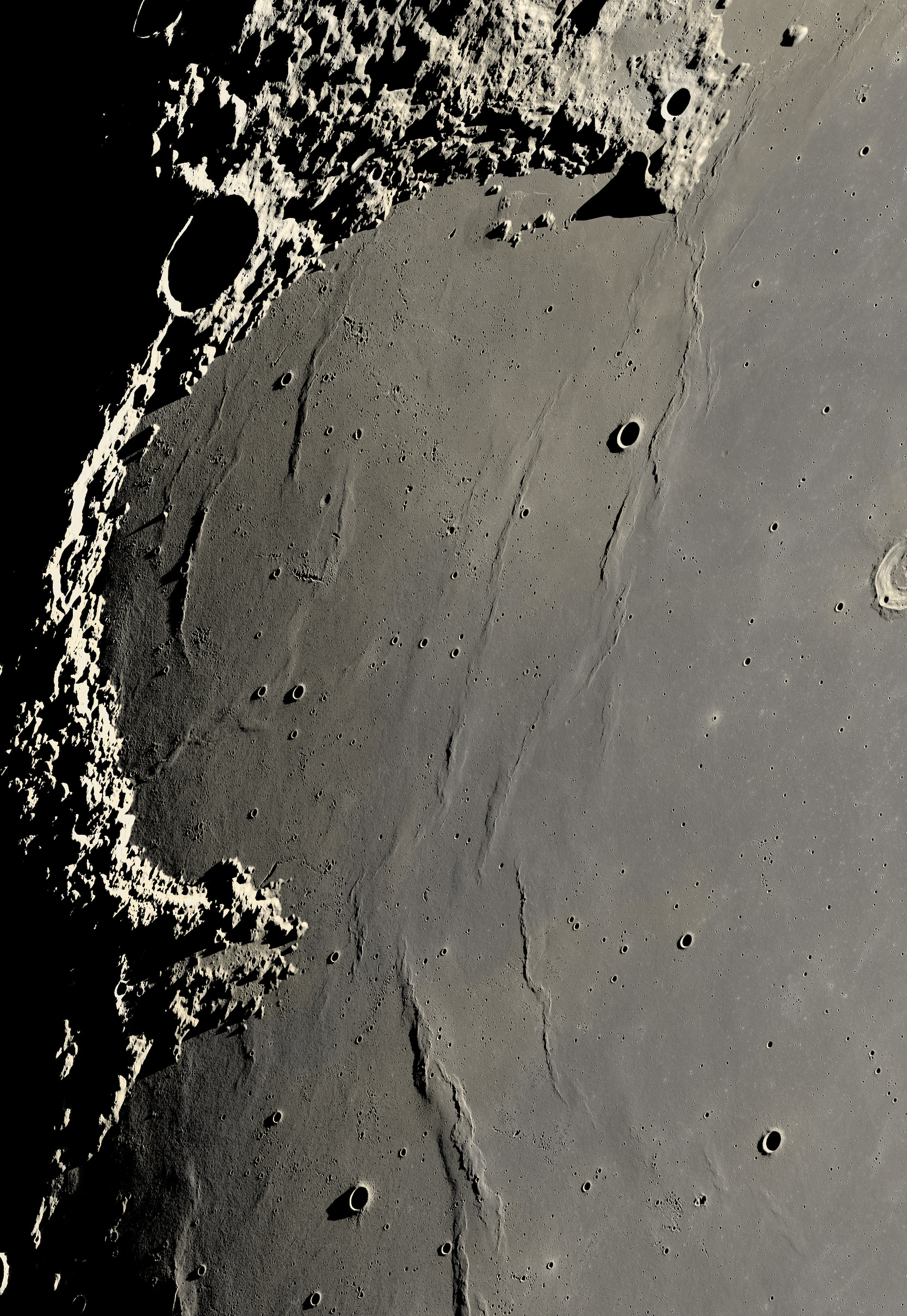
どのサイズも拡大はしていません(sRGB JPEG)。No size is upscaled (sRGB JPEG).
解説
新月から約10日後の月で、太陽が昇りつつある境目(明暗境界線)を、コペルニクス・クレーターから雨の海を越えて虹の入江とジュラ山脈まで写した画像です。境界線の近くでは太陽が地平線すれすれにあるため、小さな丘でも長い影を落とします。東へ行くほど太陽は高くなり、約22度に達します。
作り方
- データ:月周回衛星「かぐや」(SELENE)地形カメラのモーニングマップ(TCO_MAPm04、元の解像度7.4 m、15 mで使用)と標高モデルSLDEM2013(いずれも宇宙航空研究開発機構・宇宙科学研究所のDARTSで公開)。色はLRO広角カメラ(LROC WAC)のHapke補正モザイク(643・566・415 nm、NASA/GSFC/アリゾナ州立大学)
- 「かぐや」はこの地域を太陽高度10〜20度で撮影しています。これを、地平線すれすれの太陽で照らし直しました。陰影と影は標高モデルから計算し、影の縁は太陽の円盤の大きさに応じてやわらかくしています(月面ランバートモデル)
- 細かな起伏と小さなクレーターの影は、「かぐや」の画像自体の陰影から推定しています
- 地形カメラのぼけ(5.3 m)を測定して補正
- 地球から見た向きへの再サンプリングは1回だけ(Lanczos、1画素30 m)。シャープ処理はしていません
- HDR:明暗境界に向かって光が弱まる、大きなスケールの変化だけを圧縮
- 自作のPythonツールで処理
注記
- 実際の探査機データから作っていますが、照らし直した画像で、ある瞬間に撮った1枚の写真ではありません。
- 小さなクレーターの影と最も細かい起伏は「かぐや」の陰影から推定したもので、近似です。
- トビアス・マイヤー・クレーターのすぐ西にある約10×35 kmのデータの欠けは、周囲から補っています。
- 地球照版は、実際の約1,700倍の明るさで表示しています。夜側の細かさは約400 mです。
- ミネラルムーン版は、実際の色の違いを5倍に強調しています。
- 複製やAIによる生成はしていません。
- 現在も改良を続けており、画像を差し替える場合があります。
About this image
This is the line where the Sun is rising on the Moon (the terminator), about ten days after new Moon, from the crater Copernicus across Mare Imbrium to Sinus Iridum and the Jura mountains. Close to the line the Sun is barely above the horizon, so even small hills cast long shadows; farther east it climbs to about 22°.
How it was made
- Data: the Kaguya (SELENE) Terrain Camera morning map (TCO_MAPm04, 7.4 m native, used at 15 m) and the SLDEM2013 elevation model, both from ISAS/JAXA's DARTS archive. Color: the LRO LROC WAC Hapke-normalized mosaic (643, 566 and 415 nm), NASA/GSFC/Arizona State University
- Kaguya photographed this ground with the Sun 10–20° up. The picture was relit for a Sun just above the horizon: shading and cast shadows come from the elevation model, with soft edges from the size of the Sun's disk (a lunar-Lambert model)
- The fine relief and the shadows of small craters are inferred from Kaguya's own shading
- Kaguya's camera blur was measured (5.3 m) and undone
- One resampling step (Lanczos) to the view from Earth at 30 m per pixel; no sharpening
- HDR: only the large-scale fall-off of light toward the terminator is compressed
- Processed with my own Python tools
Notes
- Built from real spacecraft data but relit: it is not a single photograph taken at one moment.
- The small-crater shadows and the finest relief are inferred from Kaguya's shading, so they are an approximation.
- A data gap of about 10 × 35 km just west of the crater Tobias Mayer is filled from its surroundings.
- The earthshine version is shown about 1,700 times brighter than it really is; its night side has only about 400 m detail.
- The Mineral Moon version multiplies the real color differences 5 times.
- Nothing was added, cloned or generated with AI.
- Still being refined: some images may be replaced with improved versions.
利用についてUse
報道・記事でのご利用は、上記のクレジットを表記いただければご自由にどうぞ。それ以外のご利用は CC BY 4.0 の条件に従ってください。News and editorial use is welcome with the credit above. Other uses: CC BY 4.0.
連絡先Contact: [email protected] · X: @Sting1_JP · Flickr: photostream